
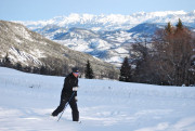
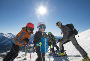
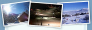
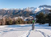
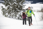
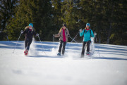
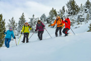
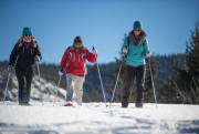
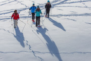
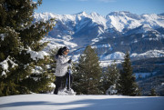
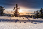
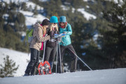
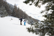
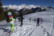
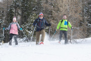
Snowshoeing
routes filtered
Only my favorites
Delete filters
Around me :
< 5km
< 10km
< 25km
< 50km
Inactive
Difficulties :
Easy
Medium
Difficult
Expert
Durée :
<1h
1-2h
2-3h
3-4h
>4h
Distance (km) :
<10
10-25
25-50
50-75
>75
Distance (km) :
<25
25-50
50-100
100-150
>150
Elevation gain (m) :
<500
500-1000
1000-1500
1500-2500
>2500
Elevation lost (m) :
<500
500-1000
1000-1500
1500-2500
>2500
Tags :
Areas :
Sommet et crêtes du Grand Puy - Difficile 8km
8.06km 460m 460m
Seyne
8.06km 460m 460m
Seyne

Plateau de Chauvet - Difficile 9km
8.67km 300m 300m
Selonnet
8.67km 300m 300m
Selonnet
Découverte du Fanget - Très facile 1km
1.19km 40m 40m
Auzet
1.19km 40m 40m
Auzet
La cheminée - Très facile 1km
1.13km 70m 60m
Auzet
1.13km 70m 60m
Auzet
Le plateau d'Iroire - Modéré 5,5km
5.94km 240m 240m
Auzet
5.94km 240m 240m
Auzet
Crête et bois de Méarzes - Difficile 3km
3.23km 140m 140m
Auzet
3.23km 140m 140m
Auzet

Négron - Modéré 7km
6.99km 260m 260m
Auzet
6.99km 260m 260m
Auzet
Chabanon - Très difficile 16km
6.45km 280m 140m
Auzet
6.45km 280m 140m
Auzet

Le Fanget par les Clots - Difficile 16km
16.31km 540m 540m
Selonnet
16.31km 540m 540m
Selonnet
Les Crêtes par le télésiège des Monges - Facile 3km
2.74km 100m 100m
Selonnet
2.74km 100m 100m
Selonnet

Tour des Clots - Facile 3km
3.07km 120m 120m
Selonnet
3.07km 120m 120m
Selonnet
Négron - Modéré 7km
6.74km 200m 200m
Selonnet
6.74km 200m 200m
Selonnet
Balcons du Grand Puy -Moyen 4km
3.89km 250m 250m
Seyne
3.89km 250m 250m
Seyne
Balade Forestière - Facile 5km A/R
5.19km 200m 200m
Seyne
5.19km 200m 200m
Seyne
Pique-nique face à la Blanche - Facile 2km A/R
1.97km 120m 120m
Seyne
1.97km 120m 120m
Seyne
International
France
 Provence Alpes Outdoor - Liste des activités

