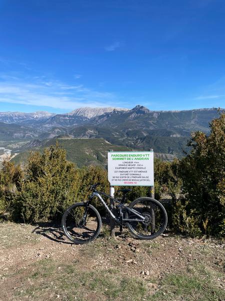
VTT n°18 - Enduro du sommet de L’Andran
Add to my favorites

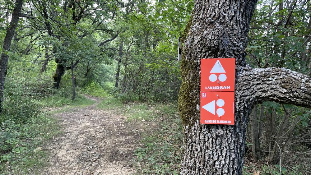
Follow the link to the top of the Andran relay. Real Enduro mountain biking, you will descend through the Bès national forest by fun and technical single tracks in the undergrowth to the Champourcin district. The return is on a tarmac road.
The characteristics of the route.

Digne-les-Bains (04)
- Distance 14.21 km
- Elevation gain 610 m
- Elevation lost 610 m
- Min. elevation 584 m
- Max. elevation. 1189 m
- Duration (depending on pace) 2h
- Suivre le balisage Yes

From the Tourist Office follow the link that takes you to the top of the Andran relay (paragliding take-off area), please note that access to the relay by vehicle is strongly discouraged, no possibility of crossing. Real Enduro mountain biking, you will descend through the national forest of Bès by fun and sometimes technical undergrowth singles to the district of Champourcin. The return is on a paved road to the Tourist Office.
Area : Digne-les-Bains
Report a problem
THIS ROUTE IN YOUR MOBILE PHONE
Download Provence Alpes Outdoor app
Get all the routes on your smartphone with the Provence Alpes outdoor app. You'll find a host of functions :
- Take advantage of detailed IGN maps
- Download data for consultation even when you're not connected to the network
- Geolocate yourself at any time on the route and altimeter profile
- Activate the off-track alarm to be alerted if you stray from the itinerary
- Find nearby services
- Share your experience (add a report, share your lap time)...

Add your time and share your feelings


Information updated on 2026-02-26 by Office de Tourisme Provence Alpes Digne les Bains


Provence Alpes Digne-les-Bains tourist office
+ 33(0)4 92 36 62 62
Tourist office
contact mail
Val de Durance – Château-Arnoux tourist office
+33 (0)4 92 64 02 64
Tourist office
contact mail
![]()
Moustiers-Sainte-Marie Tourist office
+ 33(0)4 92 74 67 84
Tourist office
contact mail
Seyne - Blanche Serre-Ponçon Tourist office
+33 (0)4 92 35 11 00
Tourist office
contact mail
 Provence Alpes Outdoor - Parcours - VTT n°18 - Enduro du sommet de L’Andran
Hello, world! This is a toast message.
Provence Alpes Outdoor - Parcours - VTT n°18 - Enduro du sommet de L’Andran
Hello, world! This is a toast message.
Provence Alpes Outdoor - Parcours - VTT n°18 - Enduro du sommet de L’Andran
Hello, world! This is a toast message.


OK
Annuler