VTT n°21 - La rando de St Joseph
Add to my favorites

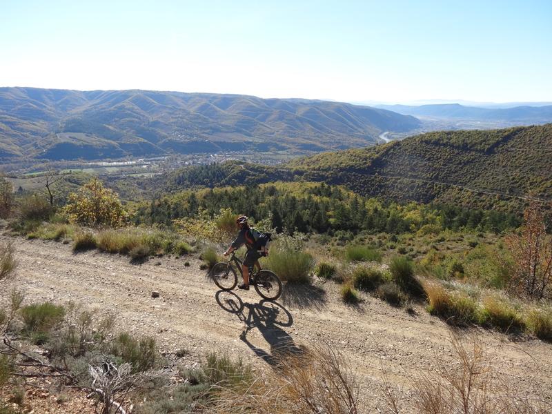
An unusual hike for the area, more mountainous and offering a remarkable and unexpected 365-degree panorama of the territory. Passages through the undergrowth on winding and wild paths among the beech trees. It's a challenge to take on!
The characteristics of the route.

Volonne (04)
- Distance 25.2 km
- Elevation gain 970 m
- Elevation lost 970 m
- Min. elevation 434 m
- Max. elevation. 1264 m
- Duration (depending on pace) 3h30
- Suivre le balisage Yes

Departure from Volonne, parking next to the bridge. The route is shared with the n°12 up to La Frache, then continues on a path uphill to the crest at the Col de la Trinité, you will then follow the crest to the St Joseph chapel. The return is by the same route as on the way there and by a winding and wild path in the middle of the beech trees. Be careful with batteries of less than 600 Watts.
Be careful you are in a grazing area.
Be careful you are in a grazing area.
Area : Val de Durance
Report a problem
THIS ROUTE IN YOUR MOBILE PHONE
Download Provence Alpes Outdoor app
Get all the routes on your smartphone with the Provence Alpes outdoor app. You'll find a host of functions :
- Take advantage of detailed IGN maps
- Download data for consultation even when you're not connected to the network
- Geolocate yourself at any time on the route and altimeter profile
- Activate the off-track alarm to be alerted if you stray from the itinerary
- Find nearby services
- Share your experience (add a report, share your lap time)...

Add your time and share your feelings


Information updated on 2025-05-22 by Office de Tourisme Provence Alpes Digne les Bains


Provence Alpes Digne-les-Bains tourist office
+ 33(0)4 92 36 62 62
Tourist office
contact mail
Val de Durance – Château-Arnoux tourist office
+33 (0)4 92 64 02 64
Tourist office
contact mail
![]()
Moustiers-Sainte-Marie Tourist office
+ 33(0)4 92 74 67 84
Tourist office
contact mail
Seyne - Blanche Serre-Ponçon Tourist office
+33 (0)4 92 35 11 00
Tourist office
contact mail
 Provence Alpes Outdoor - Parcours - VTT n°21 - La rando de St Joseph
Hello, world! This is a toast message.
Provence Alpes Outdoor - Parcours - VTT n°21 - La rando de St Joseph
Hello, world! This is a toast message.
Provence Alpes Outdoor - Parcours - VTT n°21 - La rando de St Joseph
Hello, world! This is a toast message.


OK
Annuler