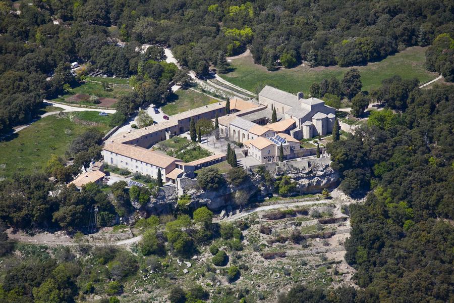
VTT n°29 - Le domaine du Prieuré
Add to my favorites

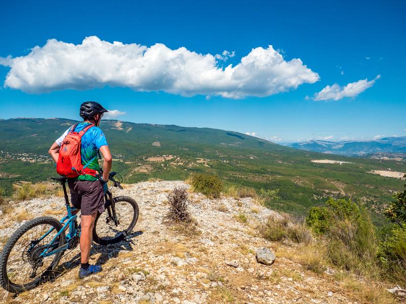
You will take a forest track with an ascending profile until the junction of route no. 18. By a pretty winding path you will arrive at Pont Bernard, then you will cross orchards to take you to the outskirts of the village of Peyruis.
The characteristics of the route.

Ganagobie (04)
- Distance 21.5 km
- Elevation gain 740 m
- Elevation lost 740 m
- Min. elevation 383 m
- Max. elevation. 714 m
- Duration (depending on pace) 2h
- Suivre le balisage Yes

You will climb a long track shared with No. 17 to La Bane. A technical path passes through several valleys to end on a track that will lead to the starting point.
Area : Val de Durance
Report a problem
THIS ROUTE IN YOUR MOBILE PHONE
Download Provence Alpes Outdoor app
Get all the routes on your smartphone with the Provence Alpes outdoor app. You'll find a host of functions :
- Take advantage of detailed IGN maps
- Download data for consultation even when you're not connected to the network
- Geolocate yourself at any time on the route and altimeter profile
- Activate the off-track alarm to be alerted if you stray from the itinerary
- Find nearby services
- Share your experience (add a report, share your lap time)...

Add your time and share your feelings


Information updated on 2025-05-22 by Office de Tourisme Provence Alpes Digne les Bains


Provence Alpes Digne-les-Bains tourist office
+ 33(0)4 92 36 62 62
Tourist office
contact mail
Val de Durance – Château-Arnoux tourist office
+33 (0)4 92 64 02 64
Tourist office
contact mail
![]()
Moustiers-Sainte-Marie Tourist office
+ 33(0)4 92 74 67 84
Tourist office
contact mail
Seyne - Blanche Serre-Ponçon Tourist office
+33 (0)4 92 35 11 00
Tourist office
contact mail
 Provence Alpes Outdoor - Parcours - VTT n°29 - Le domaine du Prieuré
Hello, world! This is a toast message.
Provence Alpes Outdoor - Parcours - VTT n°29 - Le domaine du Prieuré
Hello, world! This is a toast message.
Provence Alpes Outdoor - Parcours - VTT n°29 - Le domaine du Prieuré
Hello, world! This is a toast message.


OK
Annuler