
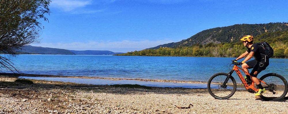
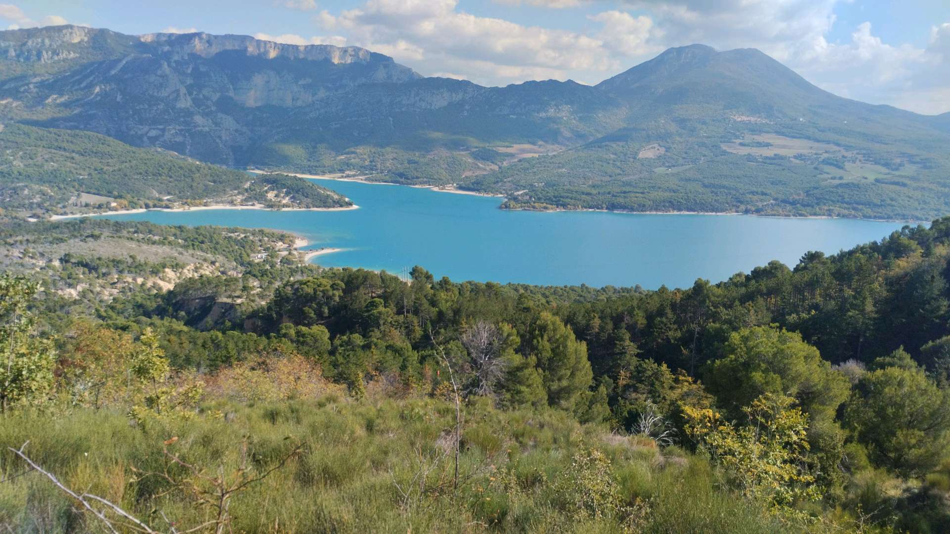
Starting from the car park at the entrance to Moustiers-Sainte-Marie, cycle for 3km up the steep tarmacked path (nicknamed the 16 percenter). Once you reach the plateau, keep left until you
arrive at the reservoir. Carry on a few more metres and take the path that bears downwards to the left following the TransVerdon (Grande Traversée VTT)

- Distance 14.5 km
- Elevation gain 370 m
- Elevation lost 370 m
- Min. elevation 475 m
- Max. elevation. 781 m
- Duration (depending on pace) 1h
- Suivre le balisage Yes

Get all the routes on your smartphone with the Provence Alpes outdoor app. You'll find a host of functions :
- Take advantage of detailed IGN maps
- Download data for consultation even when you're not connected to the network
- Geolocate yourself at any time on the route and altimeter profile
- Activate the off-track alarm to be alerted if you stray from the itinerary
- Find nearby services
- Share your experience (add a report, share your lap time)...


Provence Alpes Digne-les-Bains tourist office
+ 33(0)4 92 36 62 62
Tourist office
contact mail
Val de Durance – Château-Arnoux tourist office
+33 (0)4 92 64 02 64
Tourist office
contact mail
![]()
Moustiers-Sainte-Marie Tourist office
+ 33(0)4 92 74 67 84
Tourist office
contact mail
Seyne - Blanche Serre-Ponçon Tourist office
+33 (0)4 92 35 11 00
Tourist office
contact mail
 Provence Alpes Outdoor - Parcours - VTT n°6 - Les contreforts du Lac
Provence Alpes Outdoor - Parcours - VTT n°6 - Les contreforts du Lac
Provence Alpes Outdoor - Parcours - VTT n°6 - Les contreforts du Lac
Provence Alpes Outdoor - Parcours - VTT n°6 - Les contreforts du Lac
Provence Alpes Outdoor - Parcours - VTT n°6 - Les contreforts du Lac

