
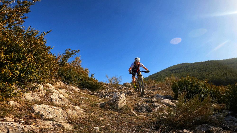
Starting from the car park at the entrance to Moustiers-Sainte-Marie, head towards the centre through the quaint little streets typical of such a ‘Village de Caractère’. Follow the signs for le
Pont Roman (Roman bridge) and then cycle through the olive groves which overlook the village. Navigate the network of technical rocky paths that lead to the hamlet of ‘En Naups’.

- Distance 35.8 km
- Elevation gain 1400 m
- Elevation lost 1400 m
- Min. elevation 565 m
- Max. elevation. 1538 m
- Duration (depending on pace) 3h
- Suivre le balisage Yes

Ventoux. Take the stony path back down to Moustiers-Sainte-Marie. This section of the route overlaps with the TransVerdon mountain bike network (Grande Traversée VTT).
Get all the routes on your smartphone with the Provence Alpes outdoor app. You'll find a host of functions :
- Take advantage of detailed IGN maps
- Download data for consultation even when you're not connected to the network
- Geolocate yourself at any time on the route and altimeter profile
- Activate the off-track alarm to be alerted if you stray from the itinerary
- Find nearby services
- Share your experience (add a report, share your lap time)...


Provence Alpes Digne-les-Bains tourist office
+ 33(0)4 92 36 62 62
Tourist office
contact mail
Val de Durance – Château-Arnoux tourist office
+33 (0)4 92 64 02 64
Tourist office
contact mail
![]()
Moustiers-Sainte-Marie Tourist office
+ 33(0)4 92 74 67 84
Tourist office
contact mail
Seyne - Blanche Serre-Ponçon Tourist office
+33 (0)4 92 35 11 00
Tourist office
contact mail
 Provence Alpes Outdoor - Parcours - VTT n°5 - Le Montdenier
Provence Alpes Outdoor - Parcours - VTT n°5 - Le Montdenier
Provence Alpes Outdoor - Parcours - VTT n°5 - Le Montdenier
Provence Alpes Outdoor - Parcours - VTT n°5 - Le Montdenier
Provence Alpes Outdoor - Parcours - VTT n°5 - Le Montdenier

