VTT n°4 - La Saint-Jursienne
Add to my favorites

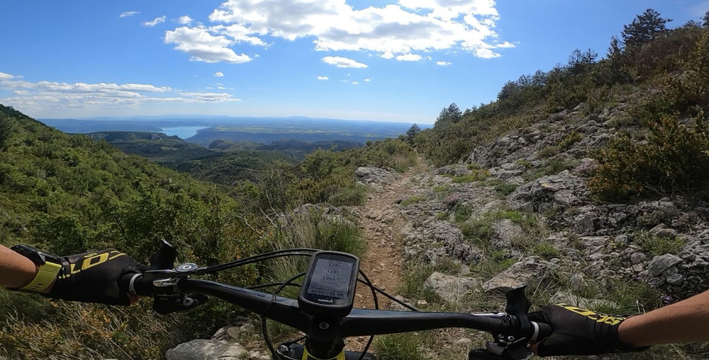
Starting from the little village of Saint Jurs, a path will take you up into the national forest. Once you have navigated the initial web of singletrack paths, continue uphill towards le Col de Saint-Jurs ans col de la Cabane.
The characteristics of the route.

Saint-Jurs (04)
- Distance 26.5 km
- Elevation gain 1060 m
- Elevation lost 1070 m
- Min. elevation 735 m
- Max. elevation. 1476 m
- Duration (depending on pace) 2h
- Suivre le balisage Yes

You will then take a fast path along which you can admire the beautiful mountain landscape with its abundance of larches and pines (1400m altitude). Descend via the beautiful rocky, technical path towards the village of Moustiers-Sainte-Marie and then take the Black Route (‘noir’) N°5 towards the locality named ‘En Naups’. Then, take the tarmacked track to return to the departure point via the path that leads back up to Saint Jurs.
Area : Verdon
Report a problem
THIS ROUTE IN YOUR MOBILE PHONE
Download Provence Alpes Outdoor app
Get all the routes on your smartphone with the Provence Alpes outdoor app. You'll find a host of functions :
- Take advantage of detailed IGN maps
- Download data for consultation even when you're not connected to the network
- Geolocate yourself at any time on the route and altimeter profile
- Activate the off-track alarm to be alerted if you stray from the itinerary
- Find nearby services
- Share your experience (add a report, share your lap time)...

Add your time and share your feelings


Information updated on 2025-09-05 by Office de tourisme de Moustiers-Sainte-Marie


Provence Alpes Digne-les-Bains tourist office
+ 33(0)4 92 36 62 62
Tourist office
contact mail
Val de Durance – Château-Arnoux tourist office
+33 (0)4 92 64 02 64
Tourist office
contact mail
![]()
Moustiers-Sainte-Marie Tourist office
+ 33(0)4 92 74 67 84
Tourist office
contact mail
Seyne - Blanche Serre-Ponçon Tourist office
+33 (0)4 92 35 11 00
Tourist office
contact mail
 Provence Alpes Outdoor - Parcours - VTT n°4 - La Saint-Jursienne
Hello, world! This is a toast message.
Provence Alpes Outdoor - Parcours - VTT n°4 - La Saint-Jursienne
Hello, world! This is a toast message.
Provence Alpes Outdoor - Parcours - VTT n°4 - La Saint-Jursienne
Hello, world! This is a toast message.


OK
Annuler