
Starting from the car park at the entrance to Moustiers-Sainte-Marie, take the small, tarmacked path that leads downwards, cross the ford and follow the GR4 hiking path to le Petit Lac. A
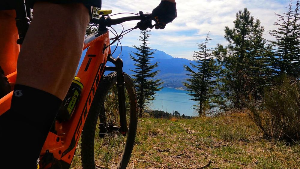
pleasant path takes you down to the beach at le Lac de Sainte-Croix in a locality known as La Ferme de St Saturnin. This route is ideal for cycling via the village to access the lake for a swim.
Turn around and return the way you came.

- Distance 10.3 km
- Elevation gain 130 m
- Elevation lost 130 m
- Min. elevation 474 m
- Max. elevation. 579 m
- Duration (depending on pace) 1h
- Suivre le balisage Yes

Get all the routes on your smartphone with the Provence Alpes outdoor app. You'll find a host of functions :
- Take advantage of detailed IGN maps
- Download data for consultation even when you're not connected to the network
- Geolocate yourself at any time on the route and altimeter profile
- Activate the off-track alarm to be alerted if you stray from the itinerary
- Find nearby services
- Share your experience (add a report, share your lap time)...


Provence Alpes Digne-les-Bains tourist office
+ 33(0)4 92 36 62 62
Tourist office
contact mail
Val de Durance – Château-Arnoux tourist office
+33 (0)4 92 64 02 64
Tourist office
contact mail
![]()
Moustiers-Sainte-Marie Tourist office
+ 33(0)4 92 74 67 84
Tourist office
contact mail
Seyne - Blanche Serre-Ponçon Tourist office
+33 (0)4 92 35 11 00
Tourist office
contact mail
 Provence Alpes Outdoor - Parcours - VTT n°1 - Le lac de Sainte-Croix depuis Moustiers
Provence Alpes Outdoor - Parcours - VTT n°1 - Le lac de Sainte-Croix depuis Moustiers
Provence Alpes Outdoor - Parcours - VTT n°1 - Le lac de Sainte-Croix depuis Moustiers
Provence Alpes Outdoor - Parcours - VTT n°1 - Le lac de Sainte-Croix depuis Moustiers
Provence Alpes Outdoor - Parcours - VTT n°1 - Le lac de Sainte-Croix depuis Moustiers

