Liaison VTT - Selonnet - Seyne
Add to my favorites

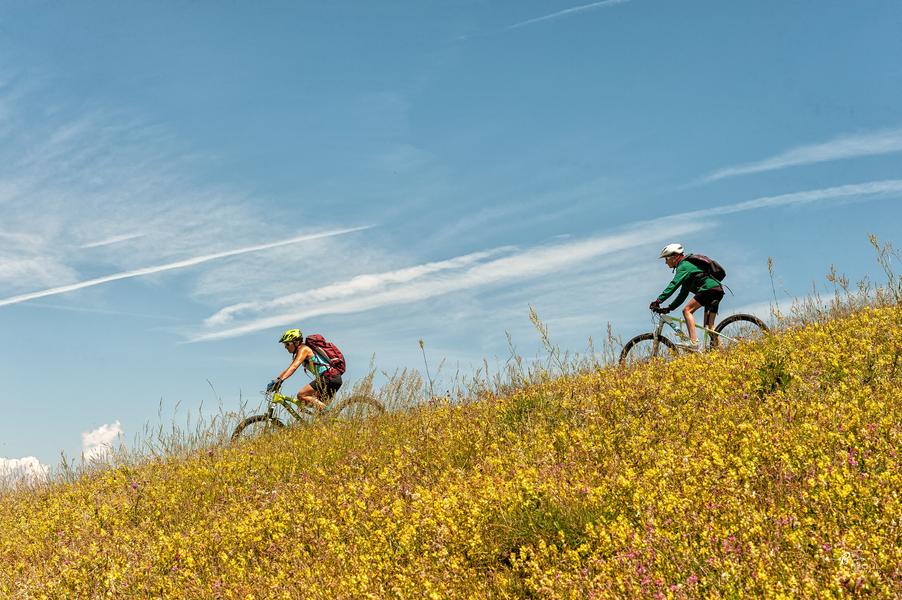
This link between Seyne and Selonnet has been signposted in both directions. Along a small road and a bridleway, you can discover the valley floor by walking at your own pace and enjoying the scenery.
The characteristics of the route.

Selonnet (04)
- Distance 6.99 km
- Elevation gain 170 m
- Elevation lost 40 m
- Min. elevation 1059 m
- Max. elevation. 1195 m
- Duration (depending on pace) 0h45
- Marking Yes
For local residents, this new route, which alternates between ascents and descents, will enable you to get around between the villages to do your shopping, meet up with friends or go to work.
Area : Blanche Serre-Ponçon
Report a problem
THIS ROUTE IN YOUR MOBILE PHONE
Download Provence Alpes Outdoor app
Get all the routes on your smartphone with the Provence Alpes outdoor app. You'll find a host of functions :
- Take advantage of detailed IGN maps
- Download data for consultation even when you're not connected to the network
- Geolocate yourself at any time on the route and altimeter profile
- Activate the off-track alarm to be alerted if you stray from the itinerary
- Find nearby services
- Share your experience (add a report, share your lap time)...

Add your time and share your feelings


Information updated on 2025-05-22 by Office de Tourisme Provence Alpes Digne les Bains


Provence Alpes Digne-les-Bains tourist office
+ 33(0)4 92 36 62 62
Tourist office
contact mail
Val de Durance – Château-Arnoux tourist office
+33 (0)4 92 64 02 64
Tourist office
contact mail
![]()
Moustiers-Sainte-Marie Tourist office
+ 33(0)4 92 74 67 84
Tourist office
contact mail
Seyne - Blanche Serre-Ponçon Tourist office
+33 (0)4 92 35 11 00
Tourist office
contact mail
 Provence Alpes Outdoor - Parcours - Liaison VTT - Selonnet - Seyne
Hello, world! This is a toast message.
Provence Alpes Outdoor - Parcours - Liaison VTT - Selonnet - Seyne
Hello, world! This is a toast message.
Provence Alpes Outdoor - Parcours - Liaison VTT - Selonnet - Seyne
Hello, world! This is a toast message.


OK
Annuler