Tour du plateau de Ganagobie
Add to my favorites

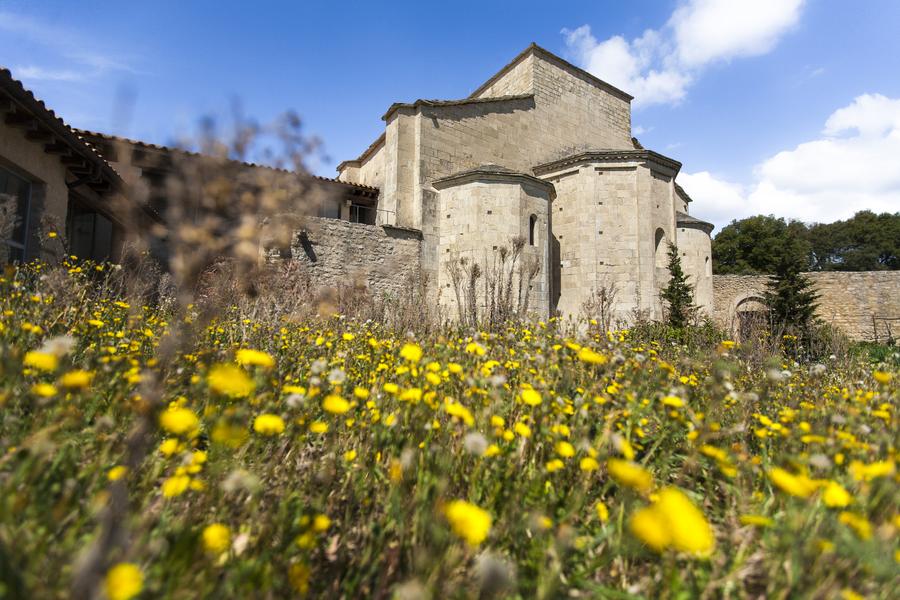
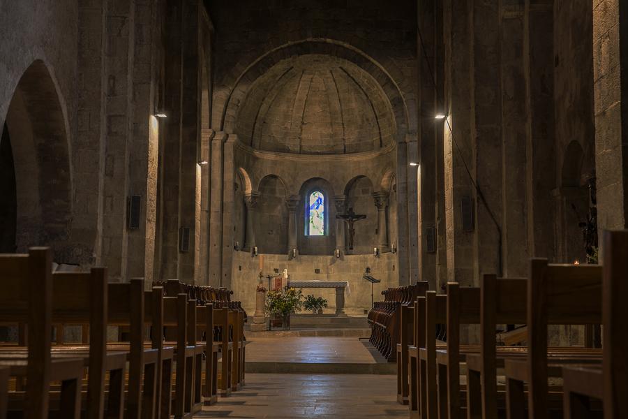
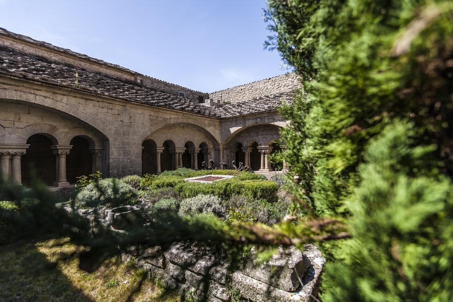
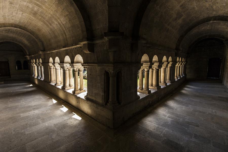
Start in front of Ganagobie town hall. This itinerary follows part of the route to Santiago de Compostela. It will take you back in time to the 10th century, when one of Provence's leading spiritual sites was established in an exceptional setting.
The characteristics of the route.

Ganagobie (04)
- Distance 5.12 km
- Elevation gain 210 m
- Elevation lost 210 m
- Min. elevation 544 m
- Max. elevation. 695 m
- Duration (depending on pace) 2h
- Suivre le balisage Yes


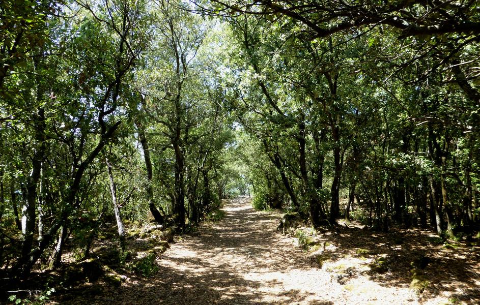
From the village of Ganagobie, family hike. Natural fortress between Lure and the Durance Valley, the plateau of Ganagobie never ceases to reveal its secrets. The place has always been inhabited thanks to its dominant position as a natural observatory, allowing a diversity of testimonies from all periods. From the village of Ganagobie, located on the heights of Peyruis, continue on a beautiful path of about 1 km. Do not miss on your left the path "Monticelli", which allows you to reach without too much effort the plateau of Ganagobie. Once up there, you just have to do the tour of the plateau and to discover the historical treasures that are scattered on the circuit.
Area : Val de Durance
Report a problem
THIS ROUTE IN YOUR MOBILE PHONE
Download Provence Alpes Outdoor app
Get all the routes on your smartphone with the Provence Alpes outdoor app. You'll find a host of functions :
- Take advantage of detailed IGN maps
- Download data for consultation even when you're not connected to the network
- Geolocate yourself at any time on the route and altimeter profile
- Activate the off-track alarm to be alerted if you stray from the itinerary
- Find nearby services
- Share your experience (add a report, share your lap time)...

Add your time and share your feelings


Information updated on 2025-08-14 by Office de Tourisme Provence Alpes Digne les Bains


Provence Alpes Digne-les-Bains tourist office
+ 33(0)4 92 36 62 62
Tourist office
contact mail
Val de Durance – Château-Arnoux tourist office
+33 (0)4 92 64 02 64
Tourist office
contact mail
![]()
Moustiers-Sainte-Marie Tourist office
+ 33(0)4 92 74 67 84
Tourist office
contact mail
Seyne - Blanche Serre-Ponçon Tourist office
+33 (0)4 92 35 11 00
Tourist office
contact mail
 Provence Alpes Outdoor - Parcours - Tour du plateau de Ganagobie
Hello, world! This is a toast message.
Provence Alpes Outdoor - Parcours - Tour du plateau de Ganagobie
Hello, world! This is a toast message.
Provence Alpes Outdoor - Parcours - Tour du plateau de Ganagobie
Hello, world! This is a toast message.


OK
Annuler