Tour de Praconteau
Add to my favorites

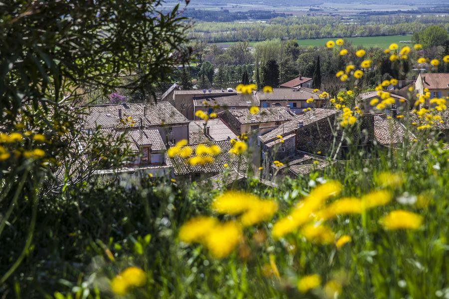
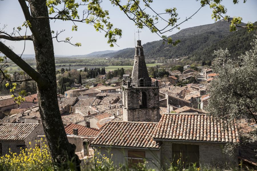
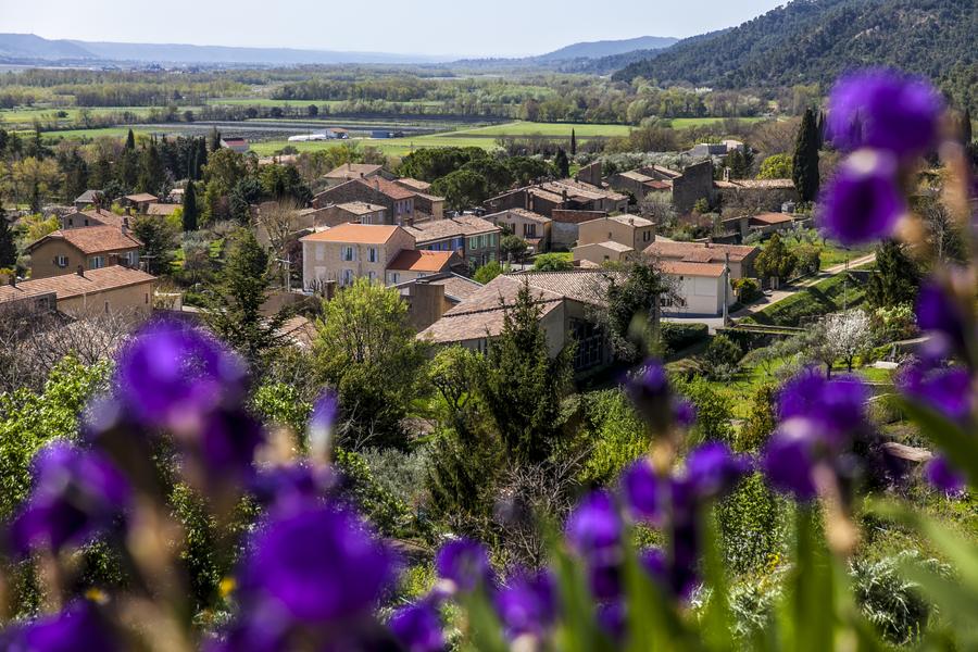
This forest circuit allows you to discover the many facets of the Peyruis massif, recognized as a "Natural Area of Faunistic and Floristic Ecological Interest" by scientists.
The characteristics of the route.

Peyruis (04)
- Distance 14.01 km
- Elevation gain 500 m
- Elevation lost 500 m
- Min. elevation 402 m
- Max. elevation. 764 m
- Duration (depending on pace) 5h
- Suivre le balisage Yes


Departure in front of the town hall of Peyruis. Starting from the town hall, first cross the old village of Peyruis. At the top of it, the markings follow in the middle of the olive groves, the small road of the Martrons for 200m, then a track on the right until the collar of Piozin, marked by a stone planted in 1885.
Area : Val de Durance
Report a problem
THIS ROUTE IN YOUR MOBILE PHONE
Download Provence Alpes Outdoor app
Get all the routes on your smartphone with the Provence Alpes outdoor app. You'll find a host of functions :
- Take advantage of detailed IGN maps
- Download data for consultation even when you're not connected to the network
- Geolocate yourself at any time on the route and altimeter profile
- Activate the off-track alarm to be alerted if you stray from the itinerary
- Find nearby services
- Share your experience (add a report, share your lap time)...

Add your time and share your feelings


Information updated on 2025-06-06 by Office de Tourisme Provence Alpes Digne les Bains


Provence Alpes Digne-les-Bains tourist office
+ 33(0)4 92 36 62 62
Tourist office
contact mail
Val de Durance – Château-Arnoux tourist office
+33 (0)4 92 64 02 64
Tourist office
contact mail
![]()
Moustiers-Sainte-Marie Tourist office
+ 33(0)4 92 74 67 84
Tourist office
contact mail
Seyne - Blanche Serre-Ponçon Tourist office
+33 (0)4 92 35 11 00
Tourist office
contact mail
 Provence Alpes Outdoor - Parcours - Tour de Praconteau
Hello, world! This is a toast message.
Provence Alpes Outdoor - Parcours - Tour de Praconteau
Hello, world! This is a toast message.
Provence Alpes Outdoor - Parcours - Tour de Praconteau
Hello, world! This is a toast message.


OK
Annuler