Sentier des Pénitents
Add to my favorites

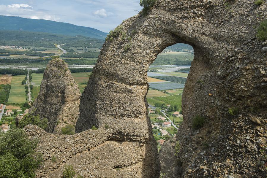
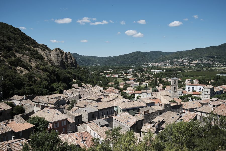
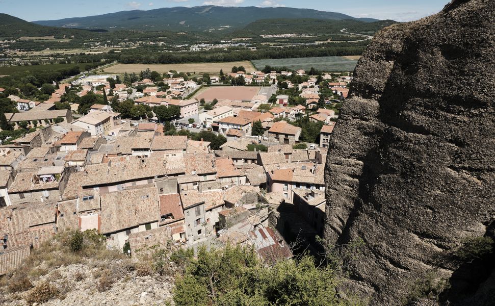
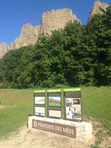
The Penitents' trail allows you and your family to discover this legendary site listed as a UNESCO Geopark in Haute-Provence. The route winds along the ridge and offers remarkable views of the rocks and the Durance valley.
The characteristics of the route.

Les Mées (04)
- Distance 4.44 km
- Elevation gain 210 m
- Elevation lost 210 m
- Min. elevation 415 m
- Max. elevation. 601 m
- Duration (depending on pace) 2h
- Suivre le balisage Yes

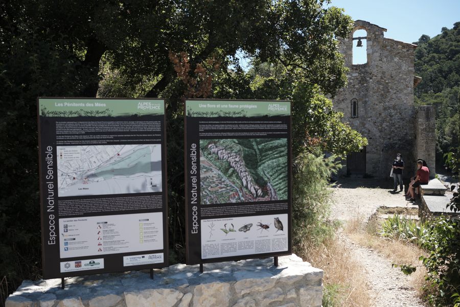
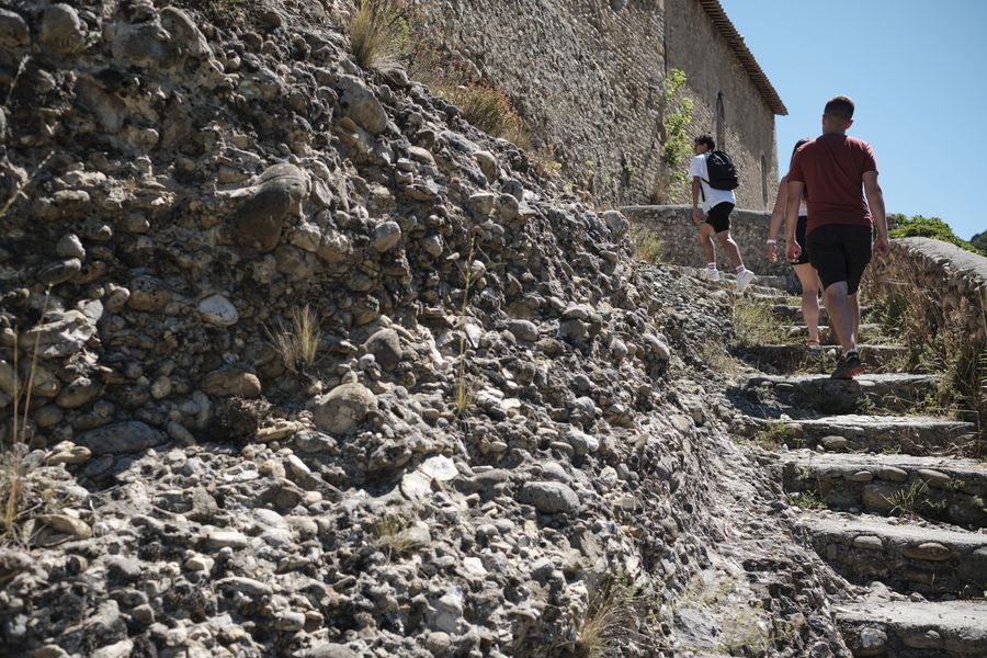
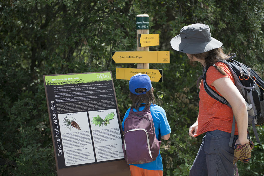
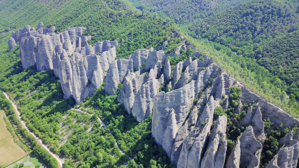
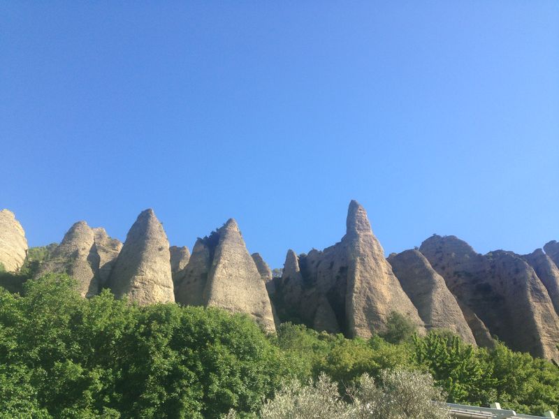
From Place de la République, go past the large hiking information panel and follow the urban markers of the Pénitents discovery trail. Go up Rue Clovis Piscon then turn left at Porte Saint Cristol and go up Rue Saint-Roch to the Saint-Roch chapel. This trail is the preferred route to discover this particular rock that is the Poudingue. It was formed a few million years ago, by consolidation of rock debris torn from the Alpine chain during uplift. It is erosion that carved these cones and blades forming the cliff in a thick layer of hardened puddingstones from the Mio-Pliocene period. The path passes at the feet of the Pénitents, who legend has it were monks petrified by St Donat for not having been able to resist the temptation of too beautiful Moorish women. At the pass, take the path going down to the left towards the shady side of the Pénitents. By a series of wooden steps, descend under the oaks, pass in front of 3 viewpoints and join the track at the foot of the hill.
Option: from the pass possibility of making the loop of San Peyre:
total duration: 3h30, mileage: 4 km, height difference: 420 m.
Turn left and return by the main track towards the village of
Mees. Pass in front of the "Tunnel de la mine" and via the rue du Rocher
rejoin the departure route.
Option: from the pass possibility of making the loop of San Peyre:
total duration: 3h30, mileage: 4 km, height difference: 420 m.
Turn left and return by the main track towards the village of
Mees. Pass in front of the "Tunnel de la mine" and via the rue du Rocher
rejoin the departure route.
Area : Val de Durance
Report a problem
THIS ROUTE IN YOUR MOBILE PHONE
Download Provence Alpes Outdoor app
Get all the routes on your smartphone with the Provence Alpes outdoor app. You'll find a host of functions :
- Take advantage of detailed IGN maps
- Download data for consultation even when you're not connected to the network
- Geolocate yourself at any time on the route and altimeter profile
- Activate the off-track alarm to be alerted if you stray from the itinerary
- Find nearby services
- Share your experience (add a report, share your lap time)...

Add your time and share your feelings


Information updated on 2026-06-02 by Office de Tourisme Provence Alpes Digne les Bains


Provence Alpes Digne-les-Bains tourist office
+ 33(0)4 92 36 62 62
Tourist office
contact mail
Val de Durance – Château-Arnoux tourist office
+33 (0)4 92 64 02 64
Tourist office
contact mail
![]()
Moustiers-Sainte-Marie Tourist office
+ 33(0)4 92 74 67 84
Tourist office
contact mail
Seyne - Blanche Serre-Ponçon Tourist office
+33 (0)4 92 35 11 00
Tourist office
contact mail
 Provence Alpes Outdoor - Parcours - Sentier des Pénitents
Hello, world! This is a toast message.
Provence Alpes Outdoor - Parcours - Sentier des Pénitents
Hello, world! This is a toast message.
Provence Alpes Outdoor - Parcours - Sentier des Pénitents
Hello, world! This is a toast message.


OK
Annuler