Crête des mélèzes
Add to my favorites

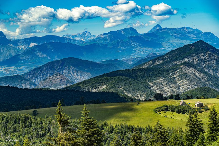
Incomparable 180° panoramic views of the Ecrins, Devoluy and Provence. You can start from the Chabanon station, following the track towards the Chauvet plateau.
The characteristics of the route.

Saint-Martin-lès-Seyne (04)
- Distance 10.9 km
- Elevation gain 560 m
- Elevation lost 560 m
- Min. elevation 1118 m
- Max. elevation. 1658 m
- Duration (depending on pace) 4h15
- Suivre le balisage Yes

Area : Blanche Serre-Ponçon
Report a problem
THIS ROUTE IN YOUR MOBILE PHONE
Download Provence Alpes Outdoor app
Get all the routes on your smartphone with the Provence Alpes outdoor app. You'll find a host of functions :
- Take advantage of detailed IGN maps
- Download data for consultation even when you're not connected to the network
- Geolocate yourself at any time on the route and altimeter profile
- Activate the off-track alarm to be alerted if you stray from the itinerary
- Find nearby services
- Share your experience (add a report, share your lap time)...

Add your time and share your feelings


Information updated on 2025-05-23 by Office de Tourisme Provence Alpes Digne les Bains


Provence Alpes Digne-les-Bains tourist office
+ 33(0)4 92 36 62 62
Tourist office
contact mail
Val de Durance – Château-Arnoux tourist office
+33 (0)4 92 64 02 64
Tourist office
contact mail

Moustiers-Sainte-Marie Tourist office
+ 33(0)4 92 74 67 84
Tourist office
contact mail
Seyne - Blanche Serre-Ponçon Tourist office
+33 (0)4 92 35 11 00
Tourist office
contact mail
 Provence Alpes Outdoor - Parcours - Crête des mélèzes
Hello, world! This is a toast message.
Provence Alpes Outdoor - Parcours - Crête des mélèzes
Hello, world! This is a toast message.
Provence Alpes Outdoor - Parcours - Crête des mélèzes
Hello, world! This is a toast message.



OK
Annuler