Tour des montagnes d'Auzet
Add to my favorites

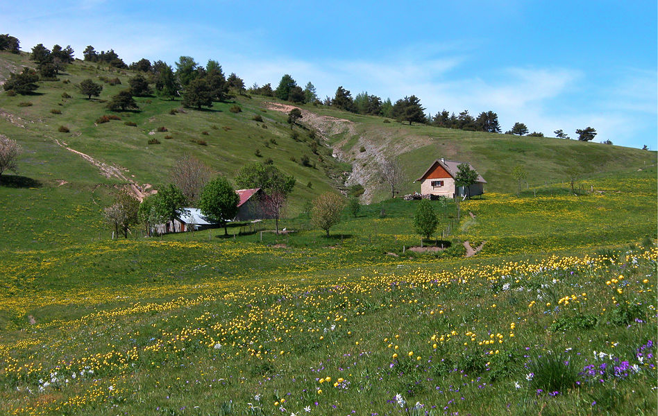
Discover the "campagnes" or "bastié", unique in the Pays de Seyne, the huts in which Auzet families summered until the middle of the last century. They are more rudimentary and smaller than those in the village.
The characteristics of the route.

Auzet (04)
- Distance 15.74 km
- Elevation gain 860 m
- Elevation lost 860 m
- Min. elevation 1120 m
- Max. elevation. 1769 m
- Duration (depending on pace) 6h
- Suivre le balisage Yes

Area : Blanche Serre-Ponçon
Report a problem
THIS ROUTE IN YOUR MOBILE PHONE
Download Provence Alpes Outdoor app
Get all the routes on your smartphone with the Provence Alpes outdoor app. You'll find a host of functions :
- Take advantage of detailed IGN maps
- Download data for consultation even when you're not connected to the network
- Geolocate yourself at any time on the route and altimeter profile
- Activate the off-track alarm to be alerted if you stray from the itinerary
- Find nearby services
- Share your experience (add a report, share your lap time)...

Add your time and share your feelings


Information updated on 2025-06-06 by Office de Tourisme Provence Alpes Digne les Bains


Provence Alpes Digne-les-Bains tourist office
+ 33(0)4 92 36 62 62
Tourist office
contact mail
Val de Durance – Château-Arnoux tourist office
+33 (0)4 92 64 02 64
Tourist office
contact mail
![]()
Moustiers-Sainte-Marie Tourist office
+ 33(0)4 92 74 67 84
Tourist office
contact mail
Seyne - Blanche Serre-Ponçon Tourist office
+33 (0)4 92 35 11 00
Tourist office
contact mail
 Provence Alpes Outdoor - Parcours - Tour des montagnes d'Auzet
Hello, world! This is a toast message.
Provence Alpes Outdoor - Parcours - Tour des montagnes d'Auzet
Hello, world! This is a toast message.
Provence Alpes Outdoor - Parcours - Tour des montagnes d'Auzet
Hello, world! This is a toast message.


OK
Annuler