Col des Cloches
Add to my favorites

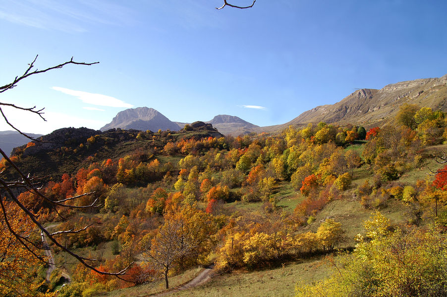
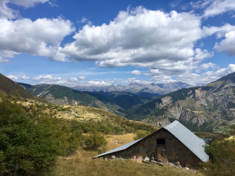
This trail takes you to the mountain pastures of the Monges massif and the pass between Grande Cloche (1887m) and Petite Cloche (1909m).
The characteristics of the route.

Barles (04)
- Distance 9.6 km
- Elevation gain 580 m
- Elevation lost 580 m
- Min. elevation 1156 m
- Max. elevation. 1733 m
- Duration (depending on pace) 5h
- Suivre le balisage Yes

From the car park, follow the road to the first house in the hamlet,
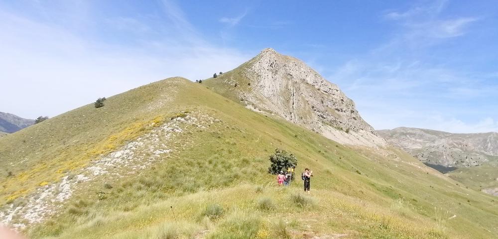
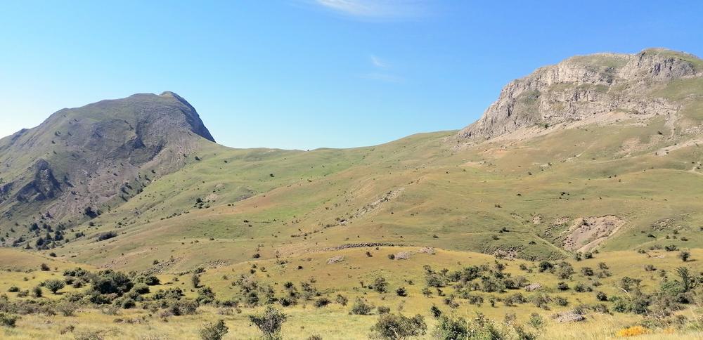
The route continues on a track, then on a path that runs alongside the ravine of the Galabre stream. You will easily reach the Col des Cloches, located between the two Cloches.
Panoramic views of the Monges, the Ecrins, the Blanche mountain range, the Cheval Blanc... The return journey takes the same route.
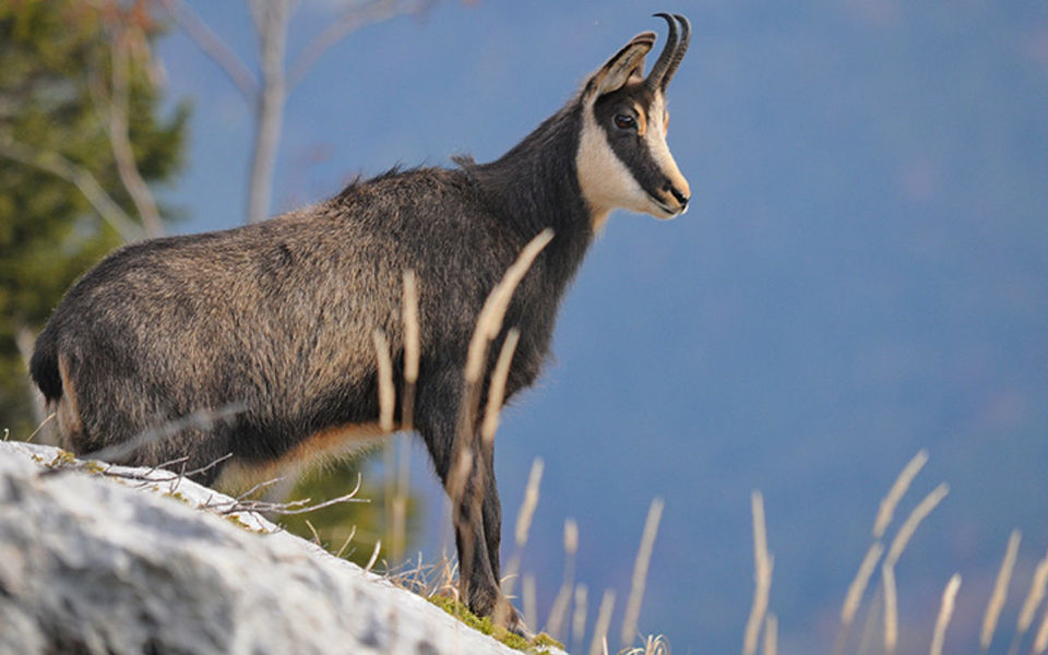
Many chamois can be seen.
The route continues on a track, then on a path that runs alongside the ravine of the Galabre stream. You will easily reach the Col des Cloches, located between the two Cloches.
Panoramic views of the Monges, the Ecrins, the Blanche mountain range, the Cheval Blanc... The return journey takes the same route.
Many chamois can be seen.
Area : Blanche Serre-Ponçon
Report a problem
THIS ROUTE IN YOUR MOBILE PHONE
Download Provence Alpes Outdoor app
Get all the routes on your smartphone with the Provence Alpes outdoor app. You'll find a host of functions :
- Take advantage of detailed IGN maps
- Download data for consultation even when you're not connected to the network
- Geolocate yourself at any time on the route and altimeter profile
- Activate the off-track alarm to be alerted if you stray from the itinerary
- Find nearby services
- Share your experience (add a report, share your lap time)...

Add your time and share your feelings


Information updated on 2025-05-06 by Office de Tourisme Provence Alpes Digne les Bains


Provence Alpes Digne-les-Bains tourist office
+ 33(0)4 92 36 62 62
Tourist office
contact mail
Val de Durance – Château-Arnoux tourist office
+33 (0)4 92 64 02 64
Tourist office
contact mail
![]()
Moustiers-Sainte-Marie Tourist office
+ 33(0)4 92 74 67 84
Tourist office
contact mail
Seyne - Blanche Serre-Ponçon Tourist office
+33 (0)4 92 35 11 00
Tourist office
contact mail
 Provence Alpes Outdoor - Parcours - Col des Cloches
Hello, world! This is a toast message.
Provence Alpes Outdoor - Parcours - Col des Cloches
Hello, world! This is a toast message.
Provence Alpes Outdoor - Parcours - Col des Cloches
Hello, world! This is a toast message.


OK
Annuler