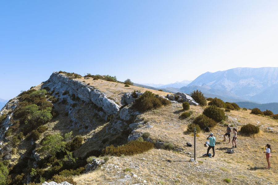
Barre des Dourbes (1728 m)
Add to my favorites

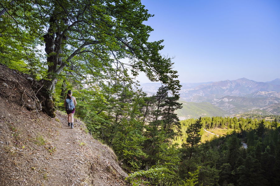
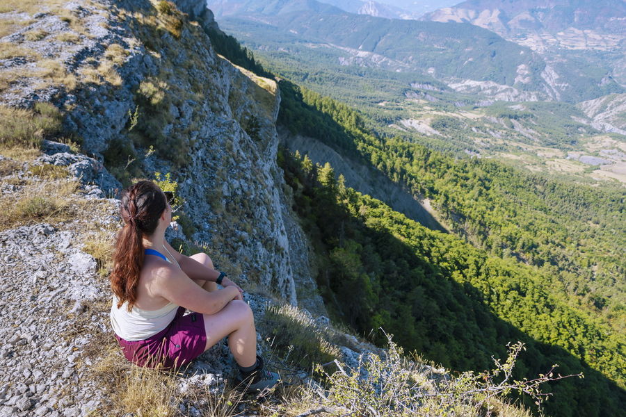
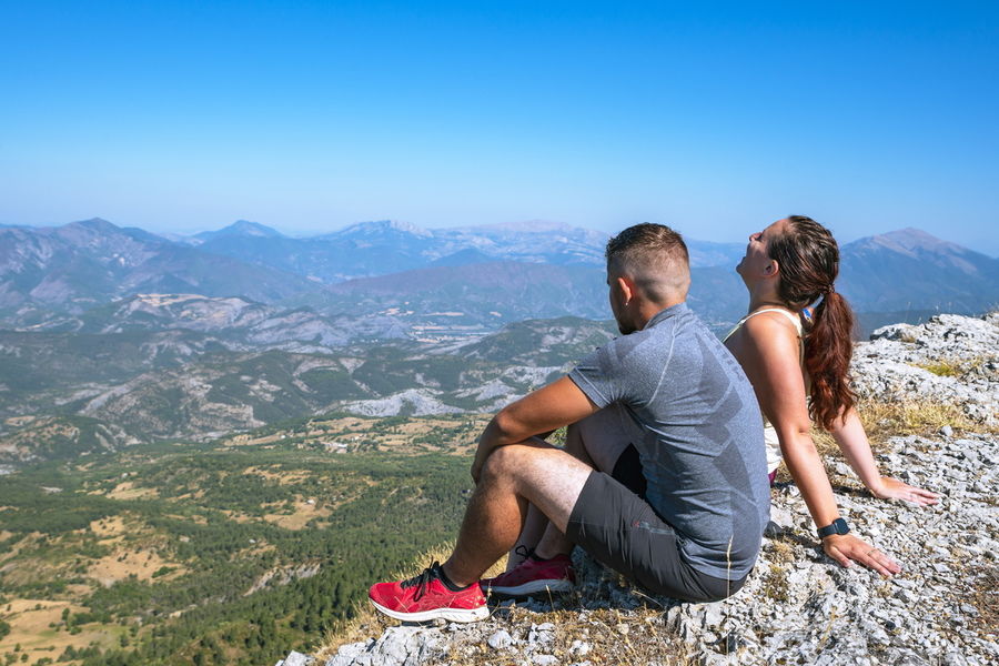
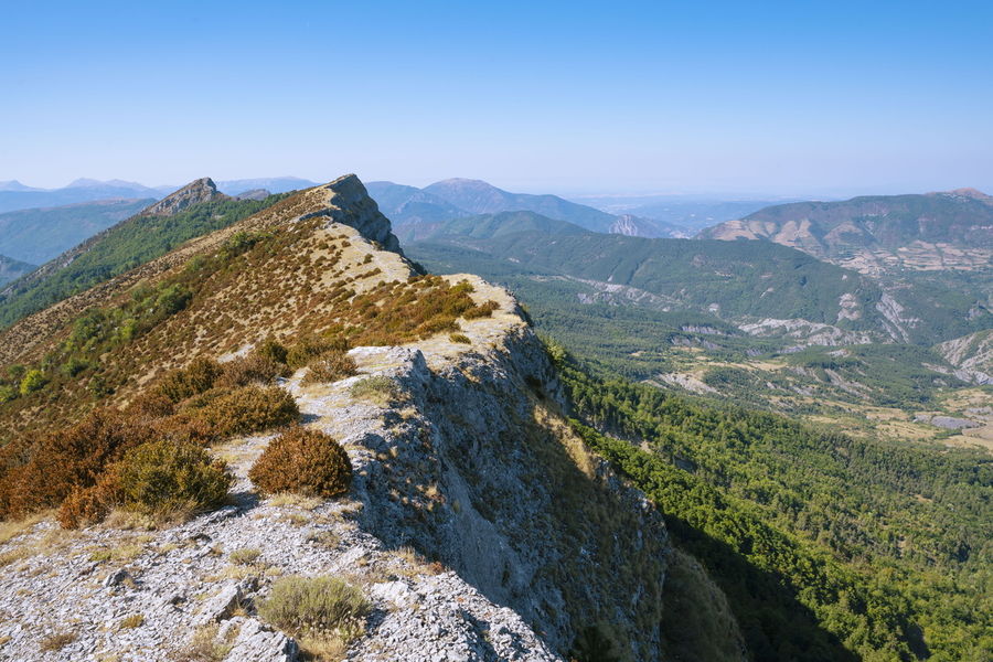
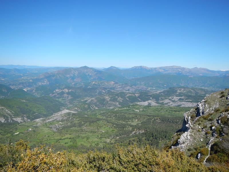
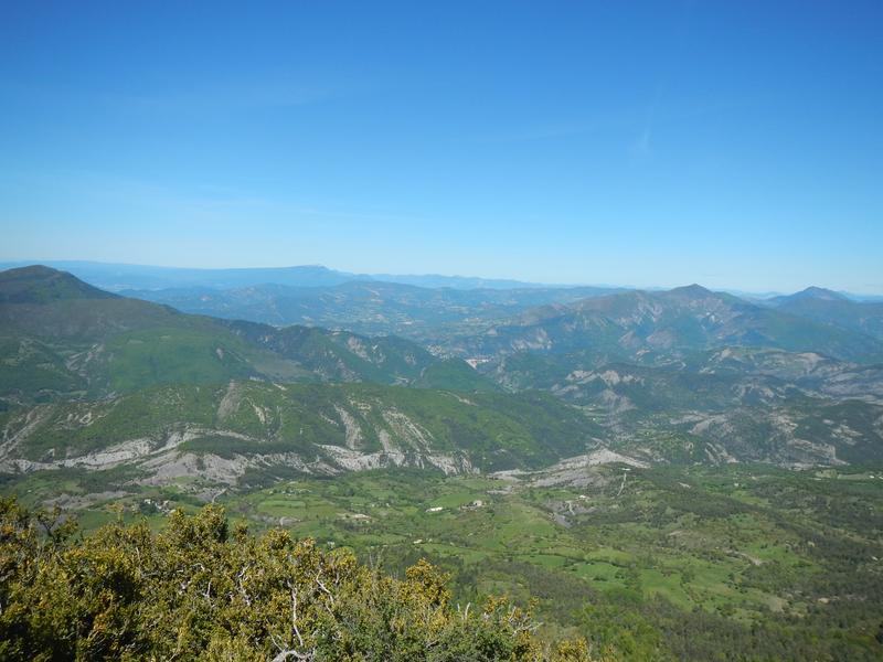
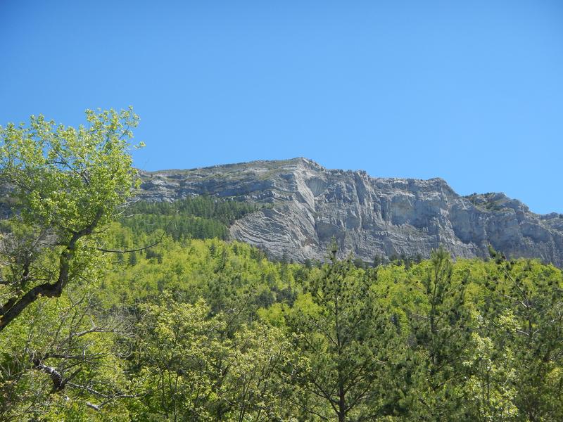
A hike through high-altitude beech forests to reach the Dourbes bar and its magnificent ridge path with breathtaking views of the valleys. This mountain stretches its long limestone cliff, from north to south, for nearly ten kilometers.
The characteristics of the route.

Digne-les-Bains (04)
- Distance 11.4 km
- Elevation gain 670 m
- Elevation lost 670 m
- Min. elevation 1097 m
- Max. elevation. 1727 m
- Duration (depending on pace) 4h
- Suivre le balisage Yes

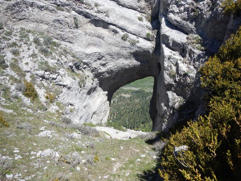
The view from the Barre des Dourbes is breathtaking. This hike also passes through the Trou de Saint-Martin. Starting from the Serre forest house, located 1 km after the hamlet of Dourbes, this hike is a classic that leads to the ridge of the Barre des Dourbes, at an altitude of 1700 m. Climb up the Pas de Tartonne, follow the ridge to the Trou de Saint-Martin, a natural cavity in the rock leading to the void, and go back down via the Pas de la Faye. Breathtaking landscapes!
Area : Digne-les-Bains
Report a problem
THIS ROUTE IN YOUR MOBILE PHONE
Download Provence Alpes Outdoor app
Get all the routes on your smartphone with the Provence Alpes outdoor app. You'll find a host of functions :
- Take advantage of detailed IGN maps
- Download data for consultation even when you're not connected to the network
- Geolocate yourself at any time on the route and altimeter profile
- Activate the off-track alarm to be alerted if you stray from the itinerary
- Find nearby services
- Share your experience (add a report, share your lap time)...

Add your time and share your feelings


Information updated on 2026-06-04 by Office de Tourisme Provence Alpes Digne les Bains


Provence Alpes Digne-les-Bains tourist office
+ 33(0)4 92 36 62 62
Tourist office
contact mail
Val de Durance – Château-Arnoux tourist office
+33 (0)4 92 64 02 64
Tourist office
contact mail
![]()
Moustiers-Sainte-Marie Tourist office
+ 33(0)4 92 74 67 84
Tourist office
contact mail
Seyne - Blanche Serre-Ponçon Tourist office
+33 (0)4 92 35 11 00
Tourist office
contact mail
 Provence Alpes Outdoor - Parcours - Barre des Dourbes (1728 m)
Hello, world! This is a toast message.
Provence Alpes Outdoor - Parcours - Barre des Dourbes (1728 m)
Hello, world! This is a toast message.
Provence Alpes Outdoor - Parcours - Barre des Dourbes (1728 m)
Hello, world! This is a toast message.


OK
Annuler