Bas col et chapelle d'Augès
Add to my favorites

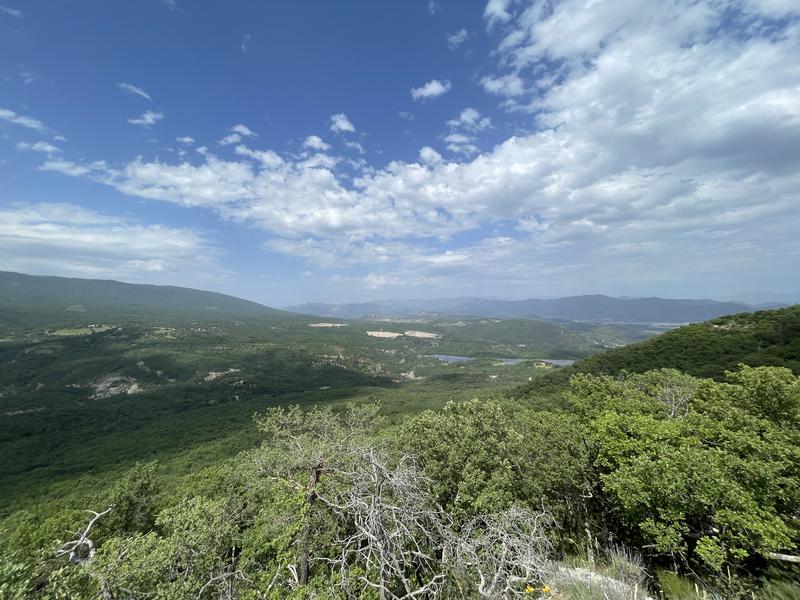
Ideal walk to discover the old Jas typical of Haute-Provence, these are old sheepfolds now abandoned.
The characteristics of the route.

Mallefougasse-Augès (04)
- Distance 10.7 km
- Elevation gain 280 m
- Elevation lost 280 m
- Min. elevation 568 m
- Max. elevation. 765 m
- Duration (depending on pace) 3h30
- Suivre le balisage Yes

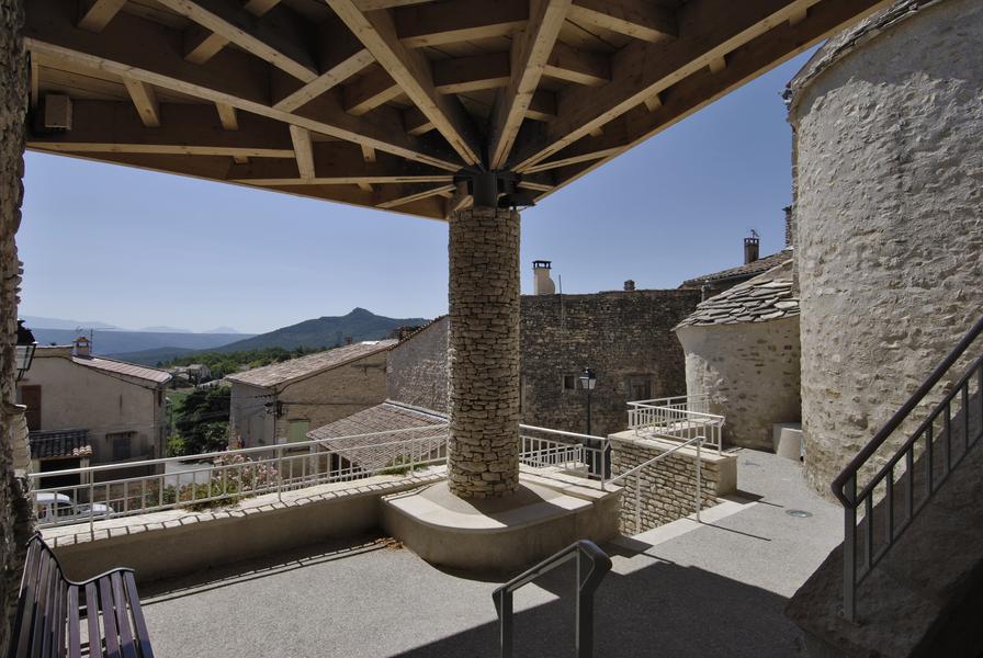
Head towards the village centre and turn left to pass in front of the town hall. Stay on the tarmac road towards the campsite for 500 m then go down to the bridge, near the Jas de Figuery. Then take a long path uphill which leads to the Bas Col. At the top turn left towards the chapel of Augès to reach the highest point of the hike. On the way back down, pass in front of the Jas des Lioux, then return by a pleasant path offering a pretty view of the village of Mallefougasse and the Lure mountain.
Area : Val de Durance
Report a problem
THIS ROUTE IN YOUR MOBILE PHONE
Download Provence Alpes Outdoor app
Get all the routes on your smartphone with the Provence Alpes outdoor app. You'll find a host of functions :
- Take advantage of detailed IGN maps
- Download data for consultation even when you're not connected to the network
- Geolocate yourself at any time on the route and altimeter profile
- Activate the off-track alarm to be alerted if you stray from the itinerary
- Find nearby services
- Share your experience (add a report, share your lap time)...

Add your time and share your feelings


Information updated on 2026-06-05 by Office de Tourisme Provence Alpes Digne les Bains


Provence Alpes Digne-les-Bains tourist office
+ 33(0)4 92 36 62 62
Tourist office
contact mail
Val de Durance – Château-Arnoux tourist office
+33 (0)4 92 64 02 64
Tourist office
contact mail
![]()
Moustiers-Sainte-Marie Tourist office
+ 33(0)4 92 74 67 84
Tourist office
contact mail
Seyne - Blanche Serre-Ponçon Tourist office
+33 (0)4 92 35 11 00
Tourist office
contact mail
 Provence Alpes Outdoor - Parcours - Bas col et chapelle d'Augès
Hello, world! This is a toast message.
Provence Alpes Outdoor - Parcours - Bas col et chapelle d'Augès
Hello, world! This is a toast message.
Provence Alpes Outdoor - Parcours - Bas col et chapelle d'Augès
Hello, world! This is a toast message.


OK
Annuler