Hameau de Creisset
Add to my favorites

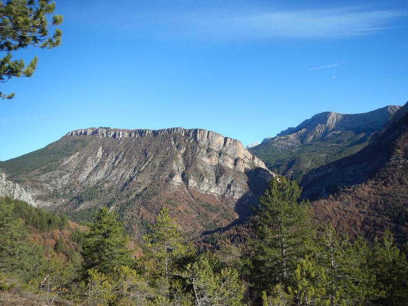
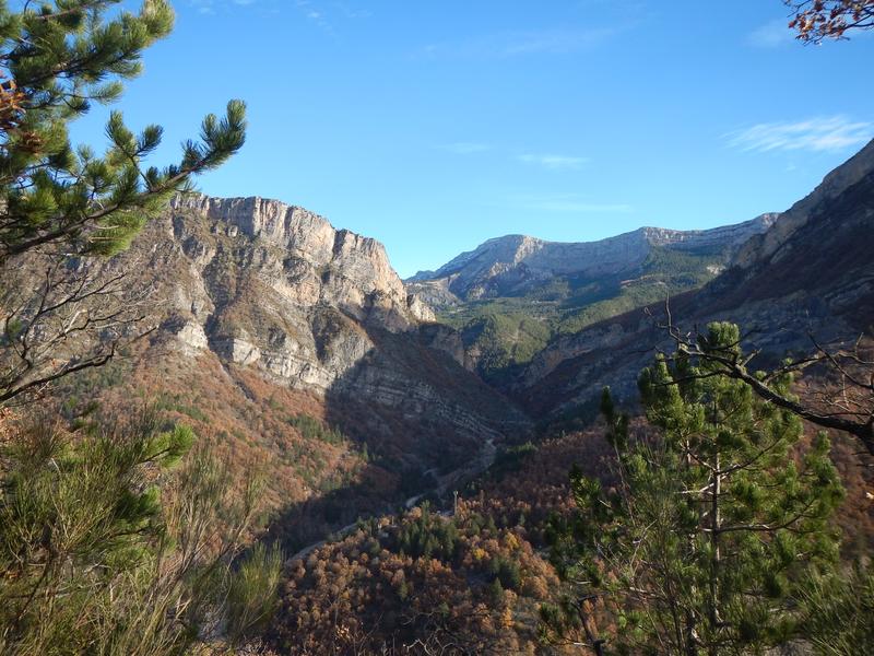
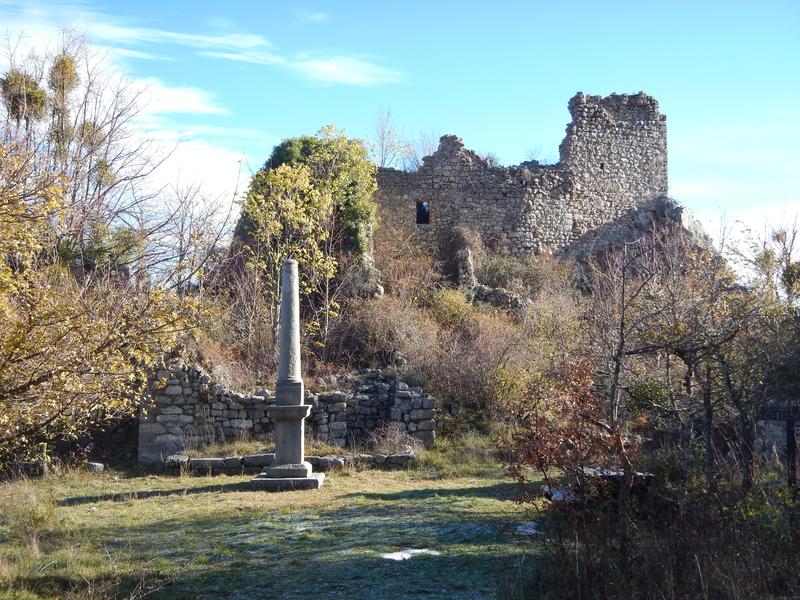
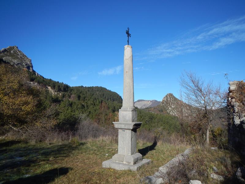
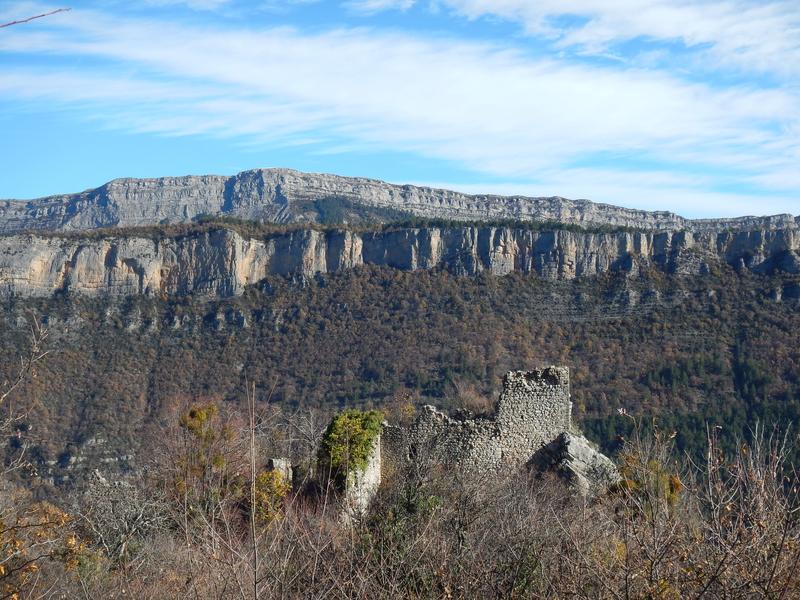
This beautiful hike in the undergrowth allows you to discover the ruins of a castle and an abandoned village, still inhabited in the last century. From Digne (19 km), follow the N85 towards Barrême 2 km after the village of Chabrières take the track on the right.
The characteristics of the route.

Beynes (04)
- Distance 9.6 km
- Elevation gain 500 m
- Elevation lost 500 m
- Min. elevation 633 m
- Max. elevation. 1045 m
- Duration (depending on pace) 3h30
- Suivre le balisage Yes

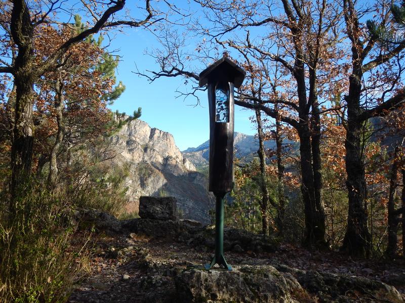
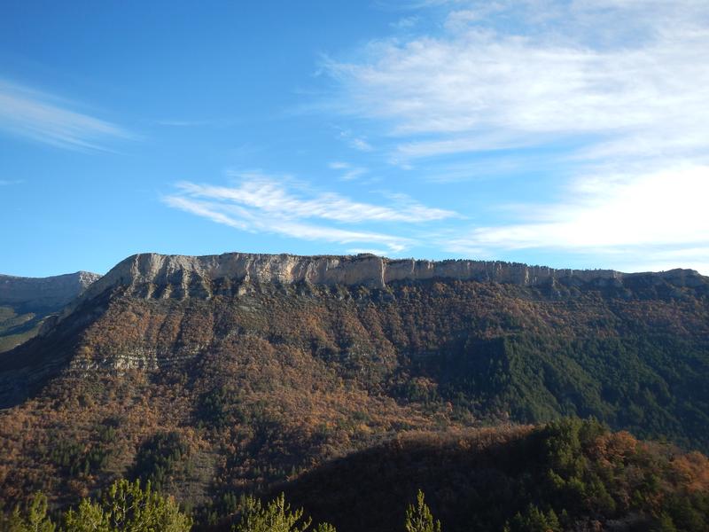
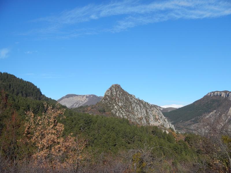
Cross the footbridge over the Asse, follow the yellow markings to the ruined hamlet of Creisset and continue to the Villard hut (shelters). You will be tempted by a break in one of these two welcoming and relaxing places. Return via the ruins of Chandres and descend into a beautiful forest to go around the Valbonette climbing rock.
Area : Digne-les-Bains
Report a problem
THIS ROUTE IN YOUR MOBILE PHONE
Download Provence Alpes Outdoor app
Get all the routes on your smartphone with the Provence Alpes outdoor app. You'll find a host of functions :
- Take advantage of detailed IGN maps
- Download data for consultation even when you're not connected to the network
- Geolocate yourself at any time on the route and altimeter profile
- Activate the off-track alarm to be alerted if you stray from the itinerary
- Find nearby services
- Share your experience (add a report, share your lap time)...

Add your time and share your feelings


Information updated on 2025-04-03 by Office de Tourisme Provence Alpes Digne les Bains


Provence Alpes Digne-les-Bains tourist office
+ 33(0)4 92 36 62 62
Tourist office
contact mail
Val de Durance – Château-Arnoux tourist office
+33 (0)4 92 64 02 64
Tourist office
contact mail
![]()
Moustiers-Sainte-Marie Tourist office
+ 33(0)4 92 74 67 84
Tourist office
contact mail
Seyne - Blanche Serre-Ponçon Tourist office
+33 (0)4 92 35 11 00
Tourist office
contact mail
 Provence Alpes Outdoor - Parcours - Hameau de Creisset
Hello, world! This is a toast message.
Provence Alpes Outdoor - Parcours - Hameau de Creisset
Hello, world! This is a toast message.
Provence Alpes Outdoor - Parcours - Hameau de Creisset
Hello, world! This is a toast message.


OK
Annuler