Trail n°2 - Le Pic Bernard
Add to my favorites

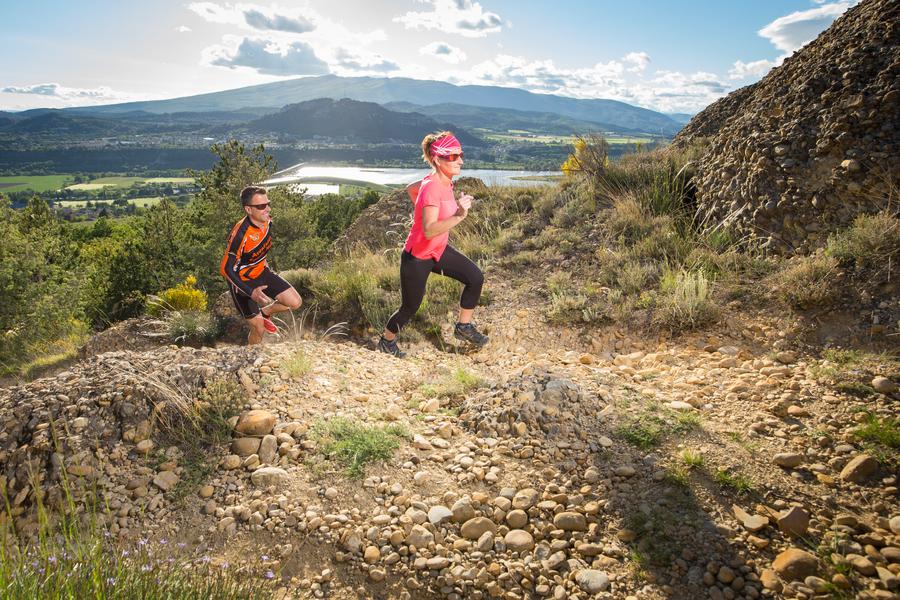
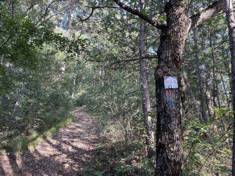
Trail No. 2, the Pic Bernard, is designed for experienced runners seeking a challenge. By the second kilometer, the route dives straight into the action with a demanding vertical climb—a true test for your calves—before cresting over toward the Collet de l’Escale
The characteristics of the route.

L'Escale (04)
- Distance 11.12 km
- Elevation gain 550 m
- Elevation lost 550 m
- Min. elevation 438 m
- Max. elevation. 862 m
- Duration (depending on pace) 1h40
- Suivre le balisage Yes

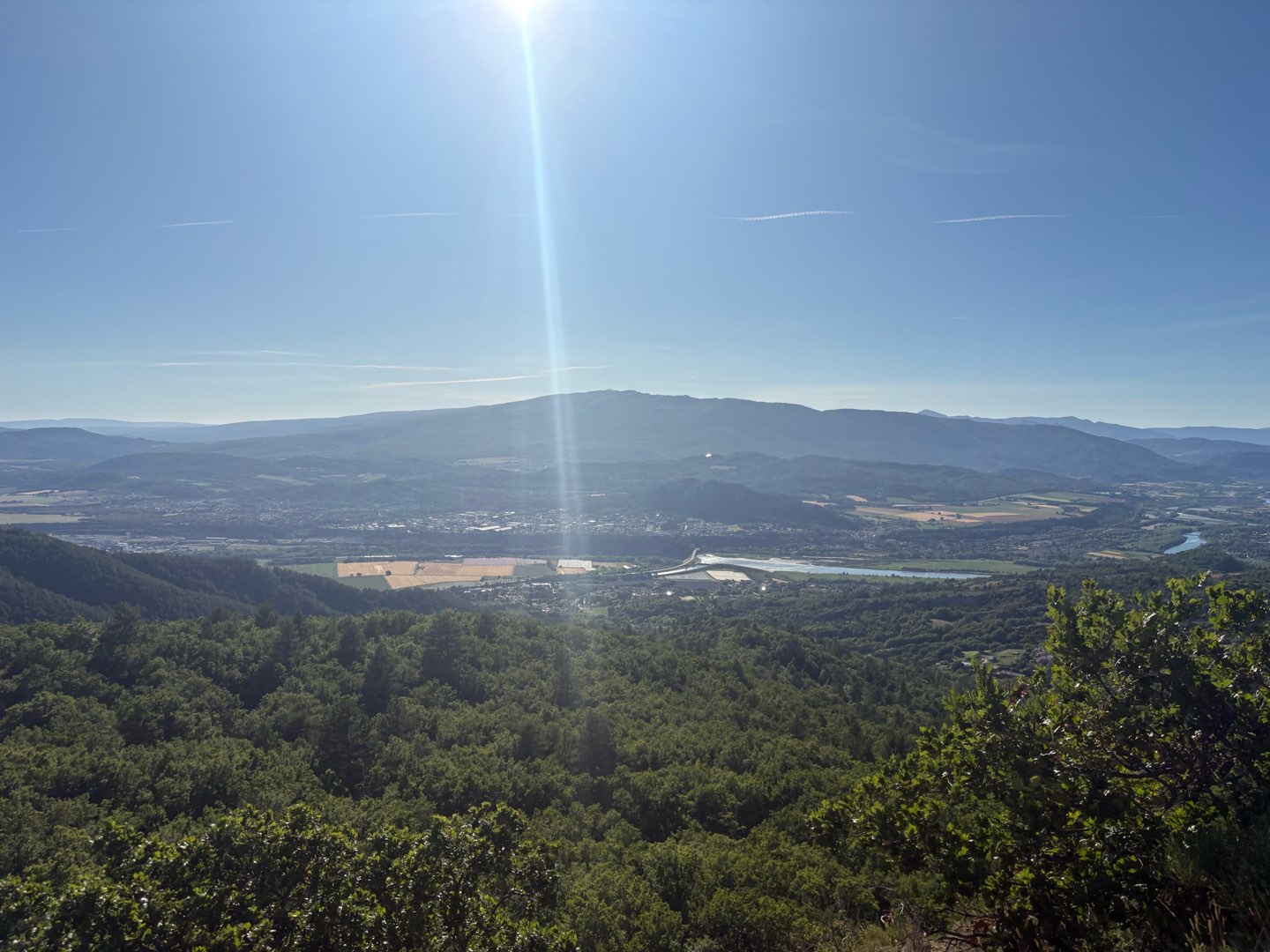
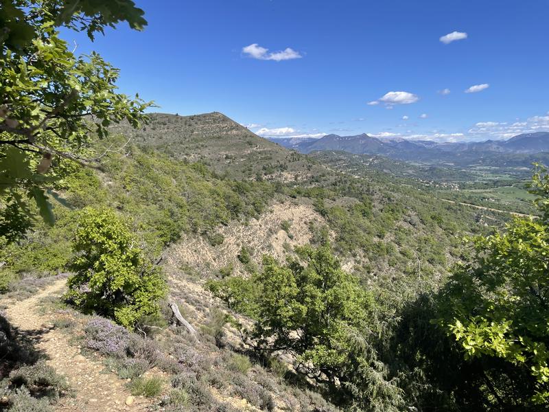
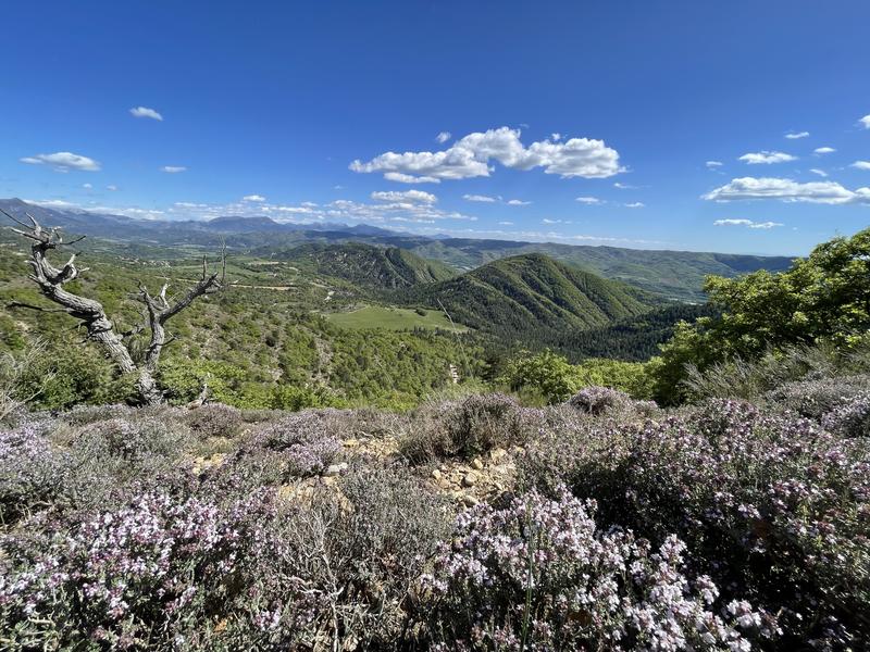
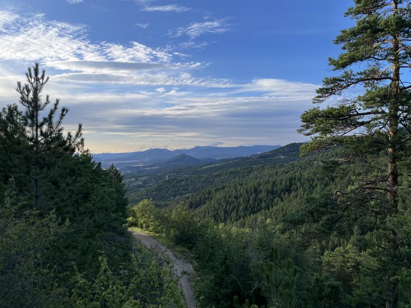
This is the very essence of Haute Provence: a technical terrain where intense effort meets the raw purity of the landscape. Between technical singletracks and refreshing undergrowth, this route offers a medley of sporting sensations all year round. After catching your breath on wide forest tracks, the second half hauls you toward breathtaking panoramas, rewarding every stride with an unobstructed view overlooking the peaks of the Durance Valley and the mountains of the Pays Dignois. A fast, technical descent finally brings you back to the village. Here, trail running is more than just a race; it’s an authentic immersion into a land of adventure.
Area : Val de Durance
Report a problem
THIS ROUTE IN YOUR MOBILE PHONE
Download Provence Alpes Outdoor app
Get all the routes on your smartphone with the Provence Alpes outdoor app. You'll find a host of functions :
- Take advantage of detailed IGN maps
- Download data for consultation even when you're not connected to the network
- Geolocate yourself at any time on the route and altimeter profile
- Activate the off-track alarm to be alerted if you stray from the itinerary
- Find nearby services
- Share your experience (add a report, share your lap time)...

Berds46
finished in 00:53:00
The 2026/06/12
En savoir plus
Ajouter votre chrono et partager vos sensations


Information updated on 2026-06-12 by Office de Tourisme Provence Alpes Digne les Bains


Provence Alpes Digne-les-Bains tourist office
+ 33(0)4 92 36 62 62
Tourist office
contact mail
Val de Durance – Château-Arnoux tourist office
+33 (0)4 92 64 02 64
Tourist office
contact mail
![]()
Moustiers-Sainte-Marie Tourist office
+ 33(0)4 92 74 67 84
Tourist office
contact mail
Seyne - Blanche Serre-Ponçon Tourist office
+33 (0)4 92 35 11 00
Tourist office
contact mail
 Provence Alpes Outdoor - Parcours - Trail n°2 - Le Pic Bernard
Hello, world! This is a toast message.
Provence Alpes Outdoor - Parcours - Trail n°2 - Le Pic Bernard
Hello, world! This is a toast message.
Provence Alpes Outdoor - Parcours - Trail n°2 - Le Pic Bernard
Hello, world! This is a toast message.


OK
Annuler