Cyclo n°3 - Vallée de l'Asse
Add to my favorites

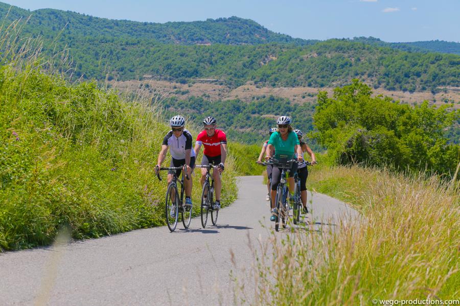
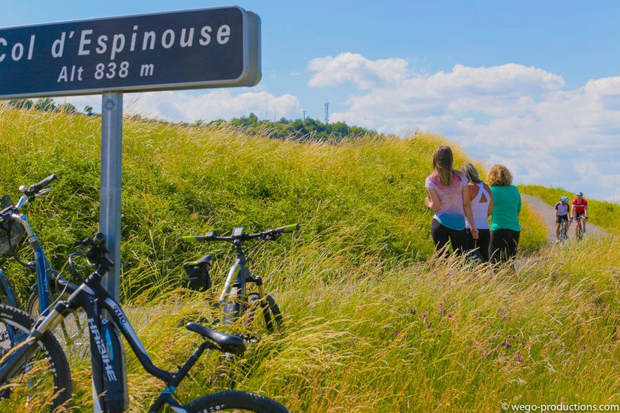
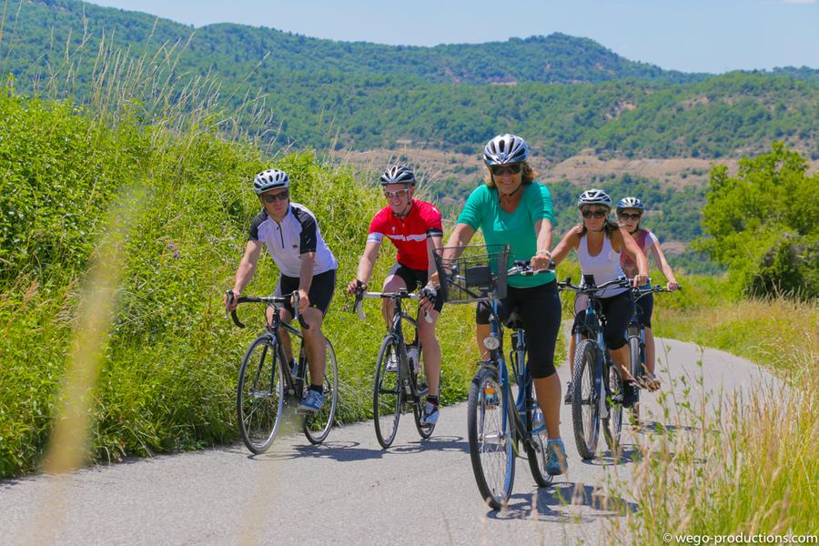
On the Route des Galets du Géoparc, you will cross the Asse, a beautiful river, twice. On the climb to the Col d'Espinouse, stop in the shade of the Pierre d'Arc oak, listed as a remarkable tree, and enjoy the panorama when you reach the pass.
The characteristics of the route.

Digne-les-Bains (04)
- Distance 58.3 km
- Elevation gain 850 m
- Elevation lost 850 m
- Min. elevation 473 m
- Max. elevation. 862 m
- Duration (depending on pace) 3h
- Suivre le balisage Yes
A 58km circuit through hills, lavender fields and Provençal villages.
From Digne les Bains, take the direction of Nice, then the Chaffaut road before leaving the city.
After the golf course, turn left (D17) and reach Mézel, where the Asse Valley begins. Cross the village and continue on the D907. After Estoublon, turn right at La Bégude. Cross Bras d'Asse and Saint Jeannet.
The route then takes you up the Col d'Espinouse (10.4km at 4%) which culminates at 1.119 m from where you can enjoy a panorama of Digne les Bains and the peaks of the Southern Alps.
Return to Digne les Bains via Le Chaffaut (D12).
Area : Digne-les-Bains
Report a problem
THIS ROUTE IN YOUR MOBILE PHONE
Download Provence Alpes Outdoor app
Get all the routes on your smartphone with the Provence Alpes outdoor app. You'll find a host of functions :
- Take advantage of detailed IGN maps
- Download data for consultation even when you're not connected to the network
- Geolocate yourself at any time on the route and altimeter profile
- Activate the off-track alarm to be alerted if you stray from the itinerary
- Find nearby services
- Share your experience (add a report, share your lap time)...

Add your time and share your feelings


Information updated on 2025-05-22 by Office de Tourisme Provence Alpes Digne les Bains


Provence Alpes Digne-les-Bains tourist office
+ 33(0)4 92 36 62 62
Tourist office
contact mail
Val de Durance – Château-Arnoux tourist office
+33 (0)4 92 64 02 64
Tourist office
contact mail
![]()
Moustiers-Sainte-Marie Tourist office
+ 33(0)4 92 74 67 84
Tourist office
contact mail
Seyne - Blanche Serre-Ponçon Tourist office
+33 (0)4 92 35 11 00
Tourist office
contact mail
 Provence Alpes Outdoor - Parcours - Cyclo n°3 - Vallée de l'Asse
Hello, world! This is a toast message.
Provence Alpes Outdoor - Parcours - Cyclo n°3 - Vallée de l'Asse
Hello, world! This is a toast message.
Provence Alpes Outdoor - Parcours - Cyclo n°3 - Vallée de l'Asse
Hello, world! This is a toast message.


OK
Annuler