Cyclo n°11 - Les Gorges de la Blanche
Add to my favorites

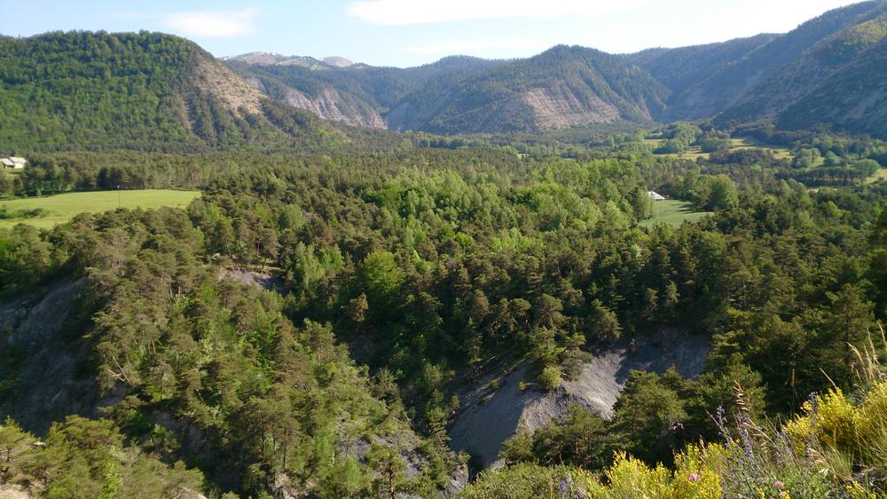
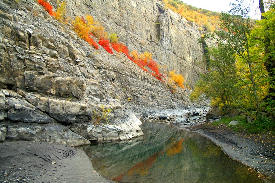
After climbing the Col des Garcinets, you will descend towards the Serre-Ponçon dam on the Durance before going up the wild Blanche gorges to find the peaceful Seyne basin.
The characteristics of the route.

Seyne (04)
- Distance 50.5 km
- Elevation gain 1120 m
- Elevation lost 1120 m
- Min. elevation 649 m
- Max. elevation. 1202 m
- Duration (depending on pace) 2h45
- Marking No
This “figure 8” route allows you to return to the car to refuel in the middle of the outing!
Departure: Seyne 1200 m > Quellenet 1100 m > Col ??des Garcinets 1185 m > Espinasses 652 m > Quellenet 1100 m > Seyne 1200 m.
Departure: Seyne 1200 m > Quellenet 1100 m > Col ??des Garcinets 1185 m > Espinasses 652 m > Quellenet 1100 m > Seyne 1200 m.
Area : Blanche Serre-Ponçon
Report a problem
THIS ROUTE IN YOUR MOBILE PHONE
Download Provence Alpes Outdoor app
Get all the routes on your smartphone with the Provence Alpes outdoor app. You'll find a host of functions :
- Take advantage of detailed IGN maps
- Download data for consultation even when you're not connected to the network
- Geolocate yourself at any time on the route and altimeter profile
- Activate the off-track alarm to be alerted if you stray from the itinerary
- Find nearby services
- Share your experience (add a report, share your lap time)...

Add your time and share your feelings


Information updated on 2025-05-22 by Office de Tourisme Provence Alpes Digne les Bains


Provence Alpes Digne-les-Bains tourist office
+ 33(0)4 92 36 62 62
Tourist office
contact mail
Val de Durance – Château-Arnoux tourist office
+33 (0)4 92 64 02 64
Tourist office
contact mail
![]()
Moustiers-Sainte-Marie Tourist office
+ 33(0)4 92 74 67 84
Tourist office
contact mail
Seyne - Blanche Serre-Ponçon Tourist office
+33 (0)4 92 35 11 00
Tourist office
contact mail
 Provence Alpes Outdoor - Parcours - Cyclo n°11 - Les Gorges de la Blanche
Hello, world! This is a toast message.
Provence Alpes Outdoor - Parcours - Cyclo n°11 - Les Gorges de la Blanche
Hello, world! This is a toast message.
Provence Alpes Outdoor - Parcours - Cyclo n°11 - Les Gorges de la Blanche
Hello, world! This is a toast message.


OK
Annuler