Cyclo n°10 - Les Clues de Verdaches
Add to my favorites

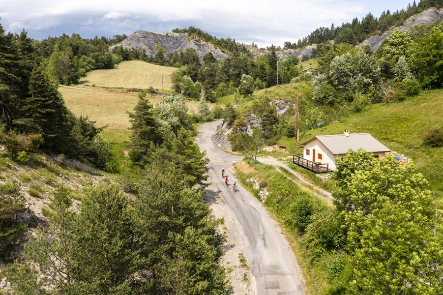
Leapfrog between the Blanche valley and the Bès valley, this small mountain loop covers part of the Memory of the Earth Route of the UNESCO Geopark of Haute-Provence.
The characteristics of the route.

Seyne (04)
- Distance 32.6 km
- Elevation gain 670 m
- Elevation lost 670 m
- Min. elevation 1062 m
- Max. elevation. 1459 m
- Duration (depending on pace) 1h45
- Marking No
It passes, among other things, by the oldest rocks in the region (300 million years old!) and by the steep climb of the Col du Fanget (7,5km at 11% average).
Departure: Seyne 1200m > Col ??de Maure 1346m > Verdaches 1124m > Col ??du Fanget 1459m > Seyne 1200m.
Departure: Seyne 1200m > Col ??de Maure 1346m > Verdaches 1124m > Col ??du Fanget 1459m > Seyne 1200m.
Area : Blanche Serre-Ponçon
Report a problem
THIS ROUTE IN YOUR MOBILE PHONE
Download Provence Alpes Outdoor app
Get all the routes on your smartphone with the Provence Alpes outdoor app. You'll find a host of functions :
- Take advantage of detailed IGN maps
- Download data for consultation even when you're not connected to the network
- Geolocate yourself at any time on the route and altimeter profile
- Activate the off-track alarm to be alerted if you stray from the itinerary
- Find nearby services
- Share your experience (add a report, share your lap time)...

Add your time and share your feelings


Information updated on 2026-06-11 by Office de Tourisme Provence Alpes Digne les Bains


Provence Alpes Digne-les-Bains tourist office
+ 33(0)4 92 36 62 62
Tourist office
contact mail
Val de Durance – Château-Arnoux tourist office
+33 (0)4 92 64 02 64
Tourist office
contact mail
![]()
Moustiers-Sainte-Marie Tourist office
+ 33(0)4 92 74 67 84
Tourist office
contact mail
Seyne - Blanche Serre-Ponçon Tourist office
+33 (0)4 92 35 11 00
Tourist office
contact mail
 Provence Alpes Outdoor - Parcours - Cyclo n°10 - Les Clues de Verdaches
Hello, world! This is a toast message.
Provence Alpes Outdoor - Parcours - Cyclo n°10 - Les Clues de Verdaches
Hello, world! This is a toast message.
Provence Alpes Outdoor - Parcours - Cyclo n°10 - Les Clues de Verdaches
Hello, world! This is a toast message.


OK
Annuler