Trail n°2 - Tour de Valentin
Add to my favorites

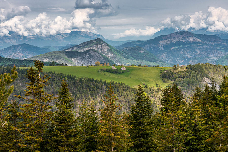
Skiing, hiking, dog sledding, ski joëring and now trail running. The resort of Chabanon is home to some new trail courses, so come and try them out!
The characteristics of the route.

Selonnet (04)
- Distance 5.84 km
- Elevation gain 200 m
- Elevation lost 200 m
- Min. elevation 1505 m
- Max. elevation. 1614 m
- Duration (depending on pace) 0h45
- Suivre le balisage Yes

This short tour, designed for beginners or those who want to practise before taking the long way round, takes you through the coniferous forest, appreciated for its shade and charm. Accessible to everyone, this tour will give you a chance to discover this new outdoor activity at your own pace.
Area : Blanche Serre-Ponçon
Report a problem
THIS ROUTE IN YOUR MOBILE PHONE
Download Provence Alpes Outdoor app
Get all the routes on your smartphone with the Provence Alpes outdoor app. You'll find a host of functions :
- Take advantage of detailed IGN maps
- Download data for consultation even when you're not connected to the network
- Geolocate yourself at any time on the route and altimeter profile
- Activate the off-track alarm to be alerted if you stray from the itinerary
- Find nearby services
- Share your experience (add a report, share your lap time)...

Add your time and share your feelings


Information updated on 2026-06-12 by Office de Tourisme Provence Alpes Digne les Bains


Provence Alpes Digne-les-Bains tourist office
+ 33(0)4 92 36 62 62
Tourist office
contact mail
Val de Durance – Château-Arnoux tourist office
+33 (0)4 92 64 02 64
Tourist office
contact mail
![]()
Moustiers-Sainte-Marie Tourist office
+ 33(0)4 92 74 67 84
Tourist office
contact mail
Seyne - Blanche Serre-Ponçon Tourist office
+33 (0)4 92 35 11 00
Tourist office
contact mail
 Provence Alpes Outdoor - Parcours - Trail n°2 - Tour de Valentin
Hello, world! This is a toast message.
Provence Alpes Outdoor - Parcours - Trail n°2 - Tour de Valentin
Hello, world! This is a toast message.
Provence Alpes Outdoor - Parcours - Trail n°2 - Tour de Valentin
Hello, world! This is a toast message.


OK
Annuler