Tour de Mouresse
Add to my favorites

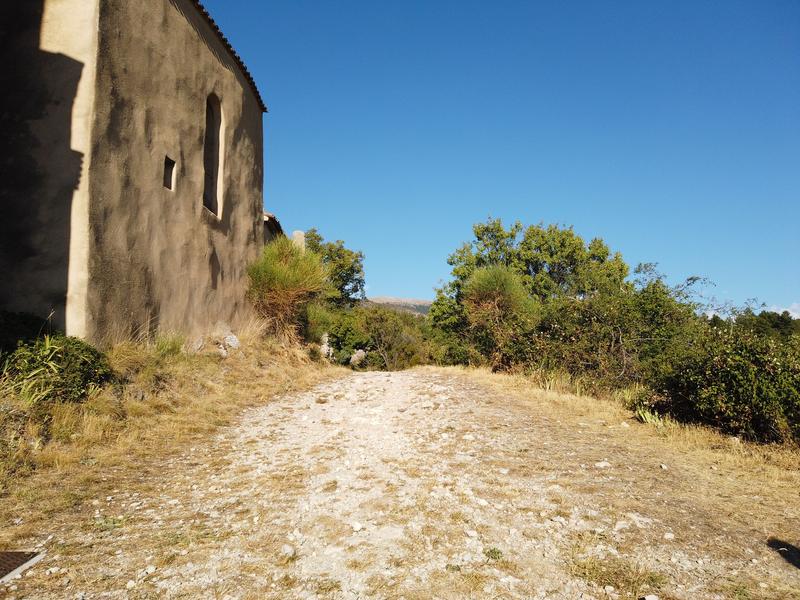
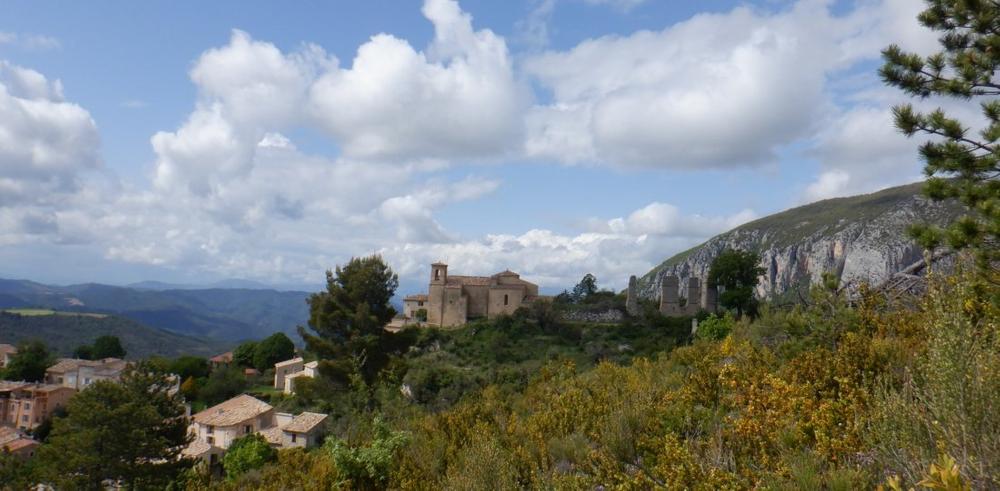
A beautiful walk from the village of Saint-Jurs. Frome the car park at the entrance to the village, walk up towards the ruins of the châteauy and follow signs marked in yellow (PR) towards l'Agra.
The characteristics of the route.

Moustiers-Sainte-Marie (04)
- Distance 9.8 km
- Elevation gain 450 m
- Elevation lost 450 m
- Min. elevation 817 m
- Max. elevation. 1179 m
- Duration (depending on pace) 4h
- Suivre le balisage Yes


At le Collet, do not take the left-hand turn (at the end of the ascent towards l'Agra), but take the path that leads down to Mouresse. Continue towards Saint-Jurs passing through Négaras. When you get to the hamlet of Mérines, you will have a 600m-strech of road before finally reaching the village.
Area : Verdon
Report a problem
THIS ROUTE IN YOUR MOBILE PHONE
Download Provence Alpes Outdoor app
Get all the routes on your smartphone with the Provence Alpes outdoor app. You'll find a host of functions :
- Take advantage of detailed IGN maps
- Download data for consultation even when you're not connected to the network
- Geolocate yourself at any time on the route and altimeter profile
- Activate the off-track alarm to be alerted if you stray from the itinerary
- Find nearby services
- Share your experience (add a report, share your lap time)...

Add your time and share your feelings


Information updated on 2025-06-06 by Office de tourisme de Moustiers-Sainte-Marie


Provence Alpes Digne-les-Bains tourist office
+ 33(0)4 92 36 62 62
Tourist office
contact mail
Val de Durance – Château-Arnoux tourist office
+33 (0)4 92 64 02 64
Tourist office
contact mail
![]()
Moustiers-Sainte-Marie Tourist office
+ 33(0)4 92 74 67 84
Tourist office
contact mail
Seyne - Blanche Serre-Ponçon Tourist office
+33 (0)4 92 35 11 00
Tourist office
contact mail
 Provence Alpes Outdoor - Parcours - Tour de Mouresse
Hello, world! This is a toast message.
Provence Alpes Outdoor - Parcours - Tour de Mouresse
Hello, world! This is a toast message.
Provence Alpes Outdoor - Parcours - Tour de Mouresse
Hello, world! This is a toast message.


OK
Annuler