Gravel Tour du Verdon - Étape Digne - Moustiers variante courte
Add to my favorites

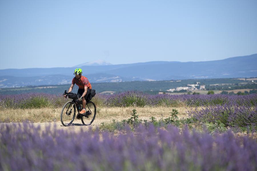
A true immersion in nature, this stage transports you to the heart of exceptional sites. From the surprising Gorges de Trévans to the magnificent panoramas of the Montdenier massif, the route crosses the wild landscapes of the Verdon Park.
The characteristics of the route.

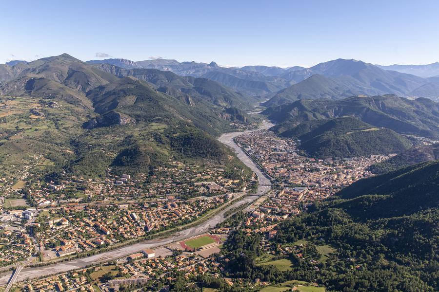
Digne-les-Bains (04)
- Distance 69.64 km
- Elevation gain 1710 m
- Elevation lost 1350 m
- Min. elevation 524 m
- Max. elevation. 1355 m
- Duration (depending on pace) 6h
- Marking No
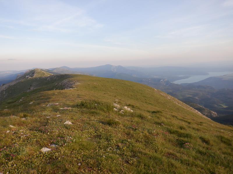
"The journey begins gently as you leave Digne-les-Bains, heading toward the Asse Valley and the charming village of Mézel. This is where the real challenge starts: a masterful ascent on a secret, wild road leads you toward Majastres. This quiet, off-the-beaten-path route reveals breathtaking panoramas of the Montdenier massif, in the heart of the preserved wilderness of the Verdon Regional Natural Park. The trail follows the Montdenier, before going around that famous ridge.
The climax arrives during the final approach: the view suddenly shifts to the turquoise waters of Lake Sainte-Croix. It is one of the most iconic panoramas in Provence, marking your imminent arrival at Moustiers-Sainte-Marie (14km connection)
The climax arrives during the final approach: the view suddenly shifts to the turquoise waters of Lake Sainte-Croix. It is one of the most iconic panoramas in Provence, marking your imminent arrival at Moustiers-Sainte-Marie (14km connection)
Area : Digne-les-Bains
Report a problem
THIS ROUTE IN YOUR MOBILE PHONE
Download Provence Alpes Outdoor app
Get all the routes on your smartphone with the Provence Alpes outdoor app. You'll find a host of functions :
- Take advantage of detailed IGN maps
- Download data for consultation even when you're not connected to the network
- Geolocate yourself at any time on the route and altimeter profile
- Activate the off-track alarm to be alerted if you stray from the itinerary
- Find nearby services
- Share your experience (add a report, share your lap time)...

Add your time and share your feelings


Information updated on 2026-01-26 by Office de Tourisme Provence Alpes Digne les Bains


Provence Alpes Digne-les-Bains tourist office
+ 33(0)4 92 36 62 62
Tourist office
contact mail
Val de Durance – Château-Arnoux tourist office
+33 (0)4 92 64 02 64
Tourist office
contact mail
![]()
Moustiers-Sainte-Marie Tourist office
+ 33(0)4 92 74 67 84
Tourist office
contact mail
Seyne - Blanche Serre-Ponçon Tourist office
+33 (0)4 92 35 11 00
Tourist office
contact mail
 Provence Alpes Outdoor - Parcours - Gravel Tour du Verdon - Étape Digne - Moustiers variante courte
Hello, world! This is a toast message.
Provence Alpes Outdoor - Parcours - Gravel Tour du Verdon - Étape Digne - Moustiers variante courte
Hello, world! This is a toast message.
Provence Alpes Outdoor - Parcours - Gravel Tour du Verdon - Étape Digne - Moustiers variante courte
Hello, world! This is a toast message.


OK
Annuler