Circuit de Grosse Pierre
Add to my favorites

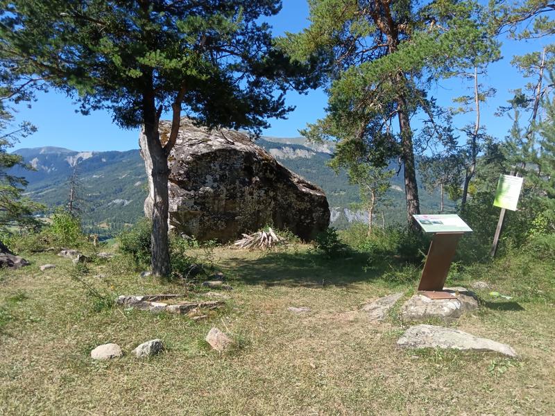
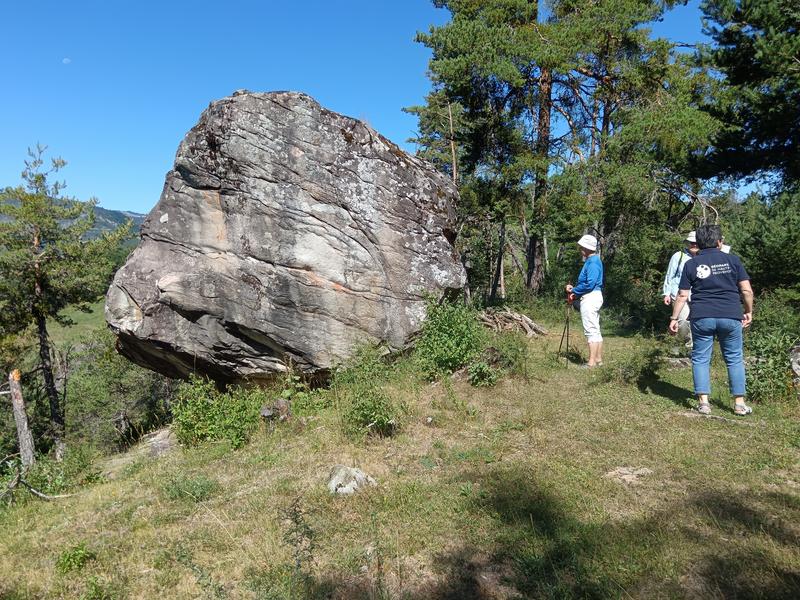
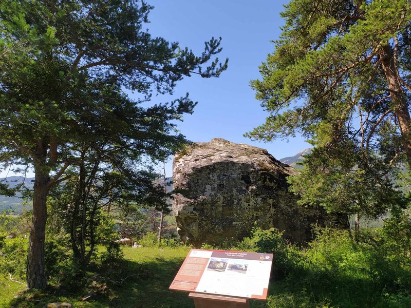
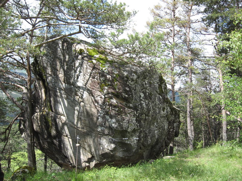
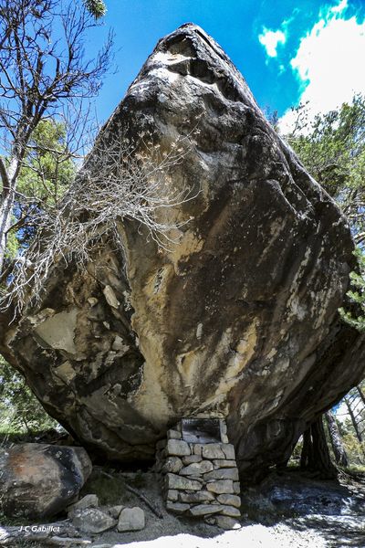
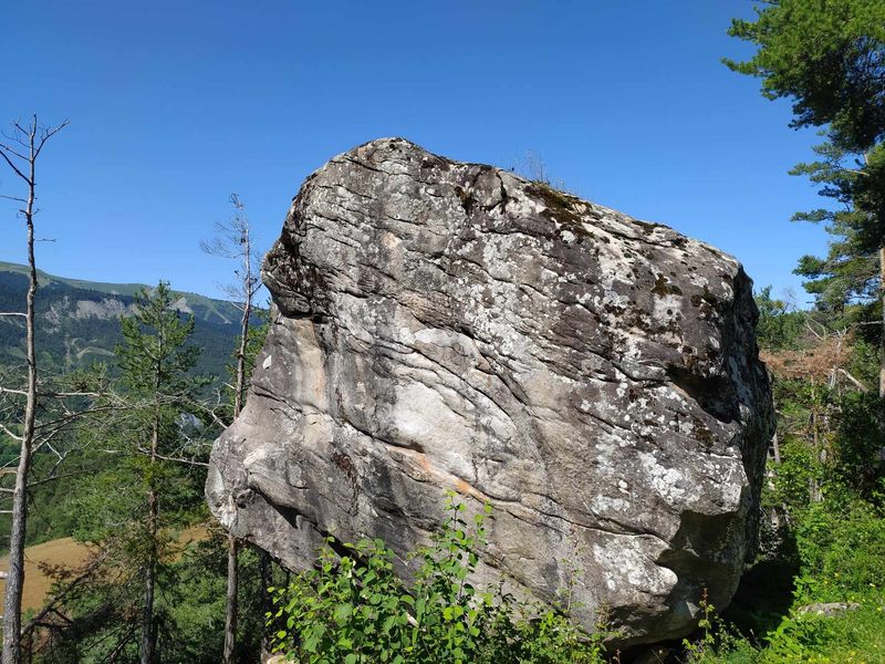
In the middle of the hike you will discover an erratic block 5m high, 550 tons and 30m in circumference. This large stone was deposited more than 20 years ago, transported by a glacier and abandoned here when it melted.
The characteristics of the route.

Selonnet (04)
- Distance 5.59 km
- Elevation gain 160 m
- Elevation lost 160 m
- Min. elevation 1058 m
- Max. elevation. 1195 m
- Duration (depending on pace) 2h
- Suivre le balisage Yes


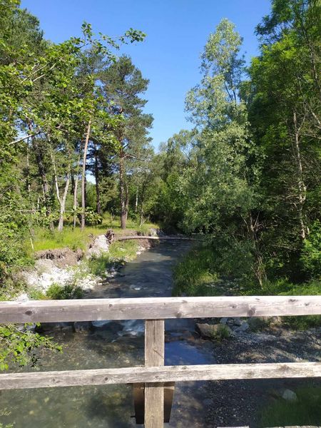
Place de Selonnet, near the Town Hall, towards the Boulangère district. Follow the yellow PR markings along the road, which becomes a track, continue on the GR®6 for 200m. Turn left 3 times, cross the bridge over the Blanche river. Cross the D900 and take the road opposite towards Haute Liberne. Go up along the road, going around the houses to the left. Before the last farm, the path goes left across the fields. Be careful, the return of the route is along the D900 road, be careful.
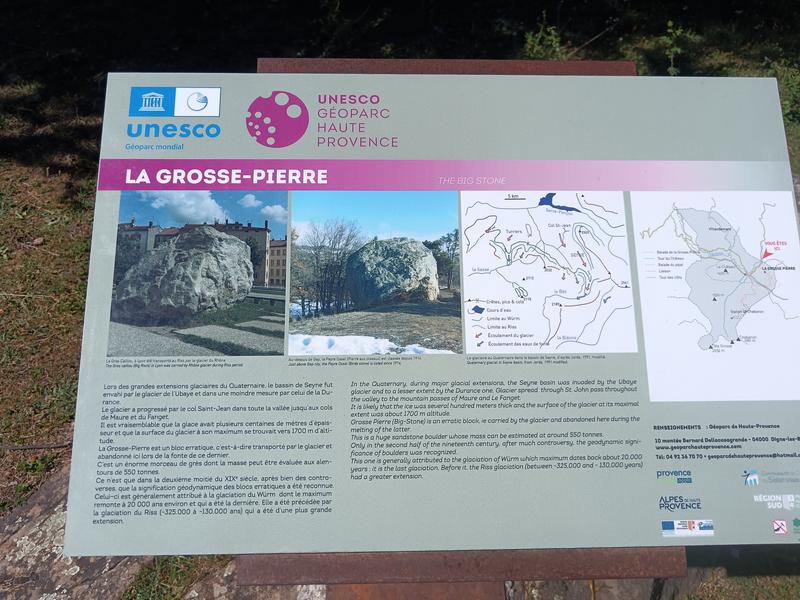
The Grosse Pierre dates from the last great glaciation of the Quaternary, during which the Vallée de la Blanche was located at the southern European limit of the valleys clogged with ice. During the great glacial extensions of the Quaternary, the Seyne basin was invaded by the Ubaye glacier and to a lesser extent by that of the Durance. The glacier advanced through the Col Saint-Jean throughout the valley as far as the Col de Maure and Col du Fanget. It is likely that the ice was several hundred meters thick and that the surface of the glacier at its maximum was around 1700 m above sea level.
The Grosse-Pierre is a huge piece of sandstone whose mass can be estimated at around 550 tonnes. It was only in the second half of the 20th century, after much controversy, that the geodynamic significance of the erratic blocks was recognised. This is generally attributed to the Würm glaciation, which peaked around 000 years ago and was the last. It was preceded by the Riss glaciation (325.000 to 130.000 years ago), which was of greater extent.
The Grosse Pierre dates from the last great glaciation of the Quaternary, during which the Vallée de la Blanche was located at the southern European limit of the valleys clogged with ice. During the great glacial extensions of the Quaternary, the Seyne basin was invaded by the Ubaye glacier and to a lesser extent by that of the Durance. The glacier advanced through the Col Saint-Jean throughout the valley as far as the Col de Maure and Col du Fanget. It is likely that the ice was several hundred meters thick and that the surface of the glacier at its maximum was around 1700 m above sea level.
The Grosse-Pierre is a huge piece of sandstone whose mass can be estimated at around 550 tonnes. It was only in the second half of the 20th century, after much controversy, that the geodynamic significance of the erratic blocks was recognised. This is generally attributed to the Würm glaciation, which peaked around 000 years ago and was the last. It was preceded by the Riss glaciation (325.000 to 130.000 years ago), which was of greater extent.
Area : Blanche Serre-Ponçon
Report a problem
THIS ROUTE IN YOUR MOBILE PHONE
Download Provence Alpes Outdoor app
Get all the routes on your smartphone with the Provence Alpes outdoor app. You'll find a host of functions :
- Take advantage of detailed IGN maps
- Download data for consultation even when you're not connected to the network
- Geolocate yourself at any time on the route and altimeter profile
- Activate the off-track alarm to be alerted if you stray from the itinerary
- Find nearby services
- Share your experience (add a report, share your lap time)...

Add your time and share your feelings


Information updated on 2026-03-27 by Office de Tourisme Provence Alpes Digne les Bains


Provence Alpes Digne-les-Bains tourist office
+ 33(0)4 92 36 62 62
Tourist office
contact mail
Val de Durance – Château-Arnoux tourist office
+33 (0)4 92 64 02 64
Tourist office
contact mail

Moustiers-Sainte-Marie Tourist office
+ 33(0)4 92 74 67 84
Tourist office
contact mail
Seyne - Blanche Serre-Ponçon Tourist office
+33 (0)4 92 35 11 00
Tourist office
contact mail
 Provence Alpes Outdoor - Parcours - Circuit de Grosse Pierre
Hello, world! This is a toast message.
Provence Alpes Outdoor - Parcours - Circuit de Grosse Pierre
Hello, world! This is a toast message.
Provence Alpes Outdoor - Parcours - Circuit de Grosse Pierre
Hello, world! This is a toast message.


OK
Annuler