
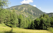
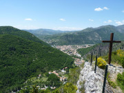
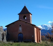
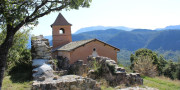
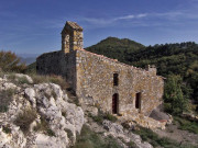
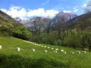
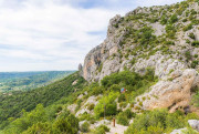
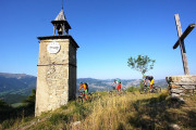
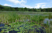
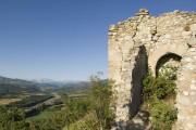
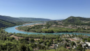
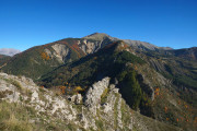
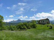
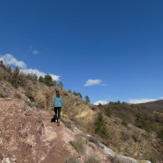
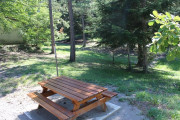
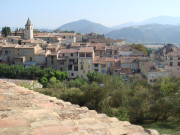
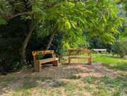
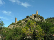
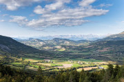
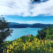
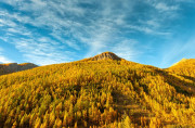
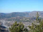
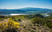
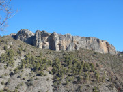
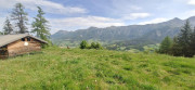
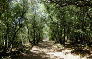
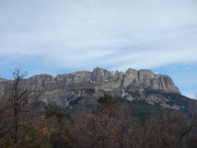
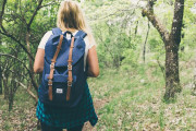
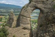
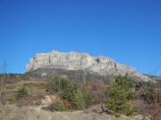
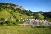
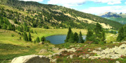
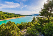
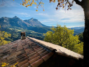
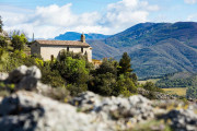
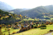
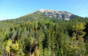
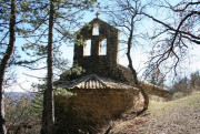
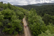
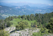
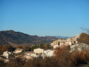
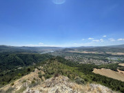
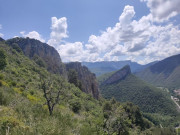
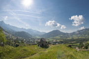
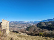
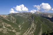
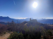
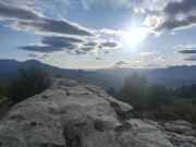
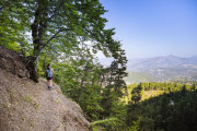
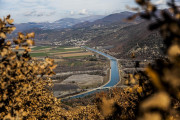
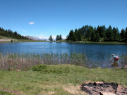
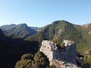
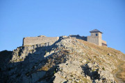
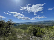
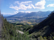
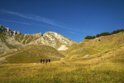
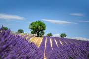
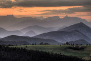
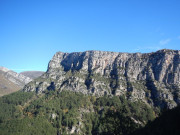
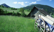
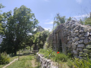
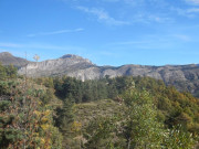
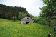
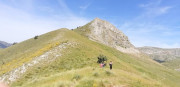
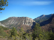
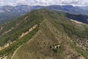
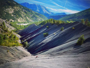
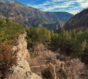
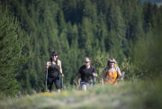
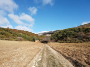
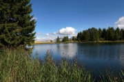
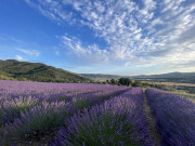
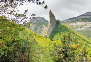
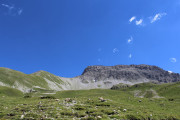
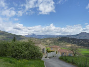
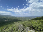
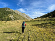
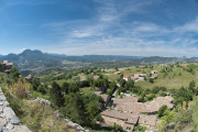
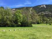
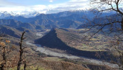
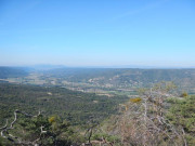
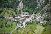
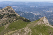
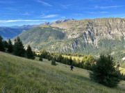
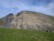
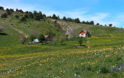
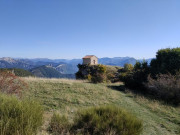
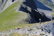
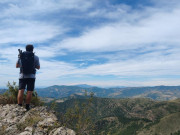
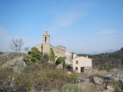
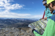
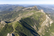
The “Provence Alpes Agglomération” territory stretches from the plains of the Durance at an altitude of 300 m, to the natural and geological sites of Haute-Provence (Tour du lac de l'Escale, Pénitents des Mées, Dalle aux ammonites, Panorama du Vélodrome, Gorges de Trévans...), to the ridges and peaks of the Alps at altitudes of between 2000 m and 3000 m. From our 46 villages, you'll discover exceptional landscapes that are ideal for family outings, panoramic and themed hikes (waterside, mountain, forest, geology, mountain art...), as well as multi-day itineraries. Discover :
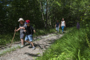
- 40 mini-hikes, easy routes suitable for families (less than 5 km, 200 m elevation gain and 2 hours of walking)
- 170 hikes classified by difficulty level (from easy to expert)
- Long-distance routes and Grande Randonnée trails themed around transhumance (GR®69), the Way of St. James (GR®653D), Napoleon (GR®406), the Verdon (GR®4), and the Alps (GR®6).


3.6km 190m 190m
Barles

3.3km 170m 170m
Mézel

2.22km 70m 70m
Volonne
6.2km 260m 260m
Auzet

1.4km 80m 80m
Marcoux
2.45km 80m 80m
Le Castellard-Melan
2.46km 100m 100m
Moustiers-Sainte-Marie
2.3km 140m 140m
Bras-d'Asse

6km 190m 200m
Selonnet

3.5km 220m 220m
Saint-Jeannet
5.62km 240m 240m
Digne-les-Bains

4.26km 190m 190m
La Robine-sur-Galabre
2.1km 140m 140m
La Javie
5.73km 200m 200m
Digne-les-Bains

3.51km 140m 140m
Digne-les-Bains

4km 90m 90m
Le Brusquet

3.64km 270m 270m
Digne-les-Bains
5.2km 200m 200m
Le Brusquet
1.9km 60m 60m
Peyruis
4km 200m 200m
Prads-Haute-Bléone
3.1km 170m 170m
Montclar

2.25km 40m 40m
Digne-les-Bains
1.3km 20m 20m
Château-Arnoux-Saint-Auban
9.6km 180m 180m
Montclar

3.15km 160m 160m
Digne-les-Bains

3.61km 110m 110m
Château-Arnoux-Saint-Auban
3.72km 240m 240m
Thoard

3.7km 50m 60m
Les Mées

5.5km 160m 160m
Seyne

2.9km 160m 160m
Le Chaffaut-Saint-Jurson

2.09km 100m 100m
Volonne

4.7km 130m 130m
Montclar
0.7km 40m 40m
Champtercier

4.16km 110m 110m
Volonne

2.85km 150m 150m
Volonne
4.97km 170m 170m
Moustiers-Sainte-Marie
3.3km 190m 190m
Montclar
3.4km 260m 260m
Seyne

4.5km 200m 190m
Château-Arnoux-Saint-Auban

3.8km 210m 210m
La Javie
3.3km 160m 160m
Thoard
3.79km 130m 130m
Entrages

4.2km 180m 180m
Sainte-Croix-du-Verdon

3.8km 10m 10m
Château-Arnoux-Saint-Auban


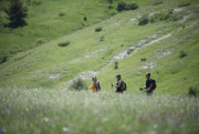


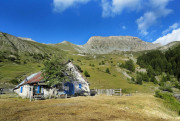
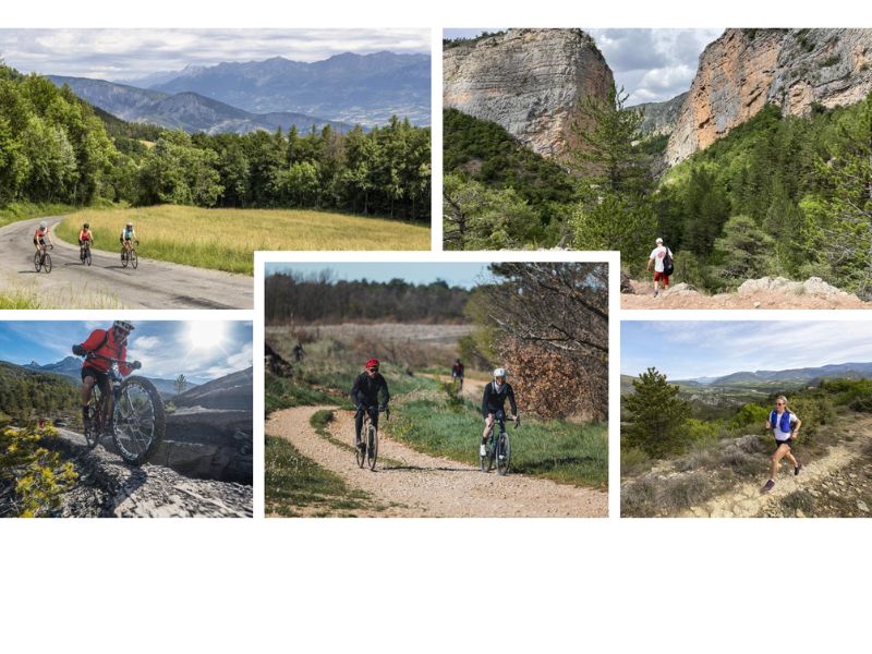
The Provence Alpes Digne-les-Bains Tourist Office offers a range of all-inclusive outdoor sports stays, most of them designed as itinerant trips, including luggage transfers from one stage to the next and full-board accommodation (with packed lunches).
These 2- to 5-day packages can be enjoyed independently or accompanied by a guide, with flexible dates — meaning guests can choose to depart on any day of the year.
Hiking, mountain biking, gravel, road cycling, or trail-running stays can be savored solo, with family, or among friends — the choice is yours!
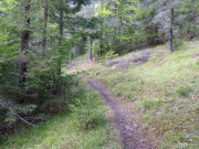
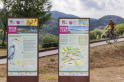
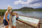
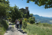
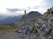
Hiking trails are marked with paint markings on trees and natural supports, and directional posts at trail junctions. Trails are marked in yellow (Promenade and Randonnée).
When they are shared with a “chemin de Grande Randonnée” (GR®), they are marked in white and red, and in yellow and red if they are shared with a “GR® de Pays”.
The GR® and GR® de Pays are maintained by volunteers from the Fédération Française de Randonnée Pédestre.


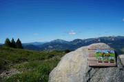
At the top of the directional posts is a green locator ring which indicates the name of the locality, its altitude and its GPS coordinates (on the back). These locality names are shown on IGN maps.
Yellow directional signs are attached to the posts, indicating the next crossroads, main directions, distances, walking times, signposts and route names.
The walking times indicated on the signs are calculated for an average hourly pace of 4 km/h on the flat, 300 m of ascent or 400 m of descent per hour. They do not include any breaks.
Signposting is provided by the Conseil Départemental des Alpes de Haute-Provence. It also funds ‘Provence Alpes Agglomération’ for work on hiking routes.
Before leaving :
- I make sure I have the right equipment for my hike and the weather conditions (shoes, clothing, sufficient water).
- If I'm going alone, I'll tell my friends and family about my itinerary
- During the summer, access to certain forest areas is regulated according to weather conditions and fire risk. Consult the forest access map
During hiking :
- I follow the marked trails and close the gates after I've passed through.
- I respect nature and bring back my garbage
- During the hunting season, I avoid hunting zones / I make U-turns
- If I'm taking a dog with me, I make sure it's authorized to walk with me on the chosen itinerary, and I keep it on a leash (a loose dog can disturb wildlife or herds).
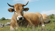
- In the mountain pastures, I go around the herds and I don't approach the shepherd dogs. When confronted with a guard dog (patou), don't run, don't make big gestures, don't look him in the eye, stop until he identifies you, remain calm and passive, don't threaten him or pet him. We advise you to avoid taking your pet dog into areas where herds are present. If you do, keep your dog on a leash. Click here to watch a video on how to behave with herding dogs.


With this application, take all the Provence Alpes Outdoor itineraries and activities with you on your smartphone. Discover a host of features :
- Download content for offline use
- Locate yourself at any time on the map and profile
- Take advantage of IGN maps
- Be alerted in case of route departure
- Share your experience
- ...

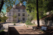
Provence Alpes Digne-les-Bains tourist office
+ 33(0)4 92 36 62 62
Tourist office
contact mail
Val de Durance – Château-Arnoux tourist office
+33 (0)4 92 64 02 64
Tourist office
contact mail
![]()
Moustiers-Sainte-Marie Tourist office
+ 33(0)4 92 74 67 84
Tourist office
contact mail
Seyne - Blanche Serre-Ponçon Tourist office
+33 (0)4 92 35 11 00
Tourist office
contact mail
 Provence Alpes Outdoor - ESPACE RANDO

