Négron - Modéré 7km
Add to my favorites

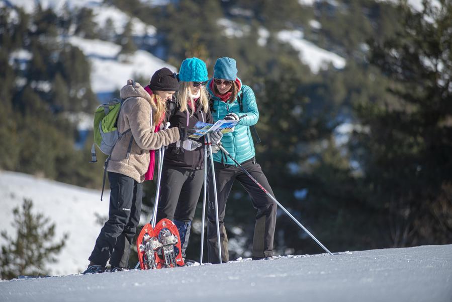
Follow route 6 "Le Fanget" to Négron, then turn left to reach the picnic area on the Plateau d'Iroire. A unique 360° panorama over the Blanche valley.
The characteristics of the route.
Selonnet (04)
- Distance 6.74 km
- Elevation gain 200 m
- Elevation lost 200 m
- Min. elevation 1525 m
- Max. elevation. 1685 m
- Duration (depending on pace) 3h
- Marking Yes
From the starting point under the Tourist Office, go to the Hôtel "Le Blanchon" and, opposite, take the path below the road.
At the 1st crossroads, turn right and follow the forest track to the first road crossing. Take the track opposite to a second road crossing.
Go down the road as far as the Les Clots car park, then turn right behind the ski lift hut and head up the forest track as far as the next junction, then take the track to the left towards Négron.
Return the same way.
Area : Blanche Serre-Ponçon
Report a problem
Pdf file THIS ROUTE IN YOUR MOBILE PHONE
Download Provence Alpes Outdoor app
Get all the routes on your smartphone with the Provence Alpes outdoor app. You'll find a host of functions :
- Take advantage of detailed IGN maps
- Download data for consultation even when you're not connected to the network
- Geolocate yourself at any time on the route and altimeter profile
- Activate the off-track alarm to be alerted if you stray from the itinerary
- Find nearby services
- Share your experience (add a report, share your lap time)...

Add your time and share your feelings


Information updated on 2024-02-16 by Office de Tourisme Provence Alpes Digne les Bains


Provence Alpes Digne-les-Bains tourist office
+ 33(0)4 92 36 62 62
Tourist office
contact mail
Val de Durance – Château-Arnoux tourist office
+33 (0)4 92 64 02 64
Tourist office
contact mail
![]()
Moustiers-Sainte-Marie Tourist office
+ 33(0)4 92 74 67 84
Tourist office
contact mail
Seyne - Blanche Serre-Ponçon Tourist office
+33 (0)4 92 35 11 00
Tourist office
contact mail
 Provence Alpes Outdoor - Parcours - Négron - Modéré 7km
Hello, world! This is a toast message.
Provence Alpes Outdoor - Parcours - Négron - Modéré 7km
Hello, world! This is a toast message.
Provence Alpes Outdoor - Parcours - Négron - Modéré 7km
Hello, world! This is a toast message.


OK
Annuler