VTT n°10 - La Combe Obscure
Add to my favorites

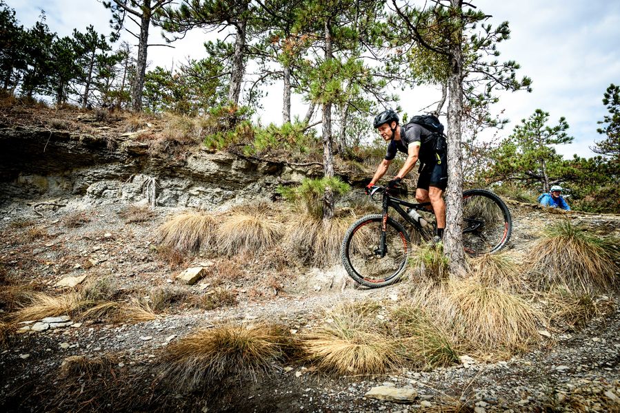
The start of the route is on a tarmac road with a steep gradient, guaranteed to wake up your muscles! After the small district of St Bonnet, a path will take you to the highest point of this climb. A nice descent will bring you back to the starting point.
The characteristics of the route.

Malijai (04)
- Distance 12.82 km
- Elevation gain 460 m
- Elevation lost 460 m
- Min. elevation 425 m
- Max. elevation. 676 m
- Duration (depending on pace) 1h30
- Suivre le balisage Yes

From the Malijai castle, the route quickly takes you on a tarmac road with a steep slope that will definitely warm your legs! Then take a path that winds through the oaks, you will continue downhill on a long, very playful path until you reach the departmental road. A second tarmac climb to the start of the Combe Obscure valley. Facing north, it is always a cool place in summer, a pretty descent at the bottom of the valley takes you back to the village.
Area : Val de Durance
Report a problem
THIS ROUTE IN YOUR MOBILE PHONE
Download Provence Alpes Outdoor app
Get all the routes on your smartphone with the Provence Alpes outdoor app. You'll find a host of functions :
- Take advantage of detailed IGN maps
- Download data for consultation even when you're not connected to the network
- Geolocate yourself at any time on the route and altimeter profile
- Activate the off-track alarm to be alerted if you stray from the itinerary
- Find nearby services
- Share your experience (add a report, share your lap time)...

thibmetailler26
The 2025/06/11
En savoir plus
Ajouter votre chrono et partager vos sensations
2025/06/11 thibmetailler26
2025/06/11 thibmetailler26


Information updated on 2025-05-22 by Office de Tourisme Provence Alpes Digne les Bains


Provence Alpes Digne-les-Bains tourist office
+ 33(0)4 92 36 62 62
Tourist office
contact mail
Val de Durance – Château-Arnoux tourist office
+33 (0)4 92 64 02 64
Tourist office
contact mail
![]()
Moustiers-Sainte-Marie Tourist office
+ 33(0)4 92 74 67 84
Tourist office
contact mail
Seyne - Blanche Serre-Ponçon Tourist office
+33 (0)4 92 35 11 00
Tourist office
contact mail
 Provence Alpes Outdoor - Parcours - VTT n°10 - La Combe Obscure
Hello, world! This is a toast message.
Provence Alpes Outdoor - Parcours - VTT n°10 - La Combe Obscure
Hello, world! This is a toast message.
Provence Alpes Outdoor - Parcours - VTT n°10 - La Combe Obscure
Hello, world! This is a toast message.


OK
Annuler