VTT n°2 - Le tour des clochers
Add to my favorites

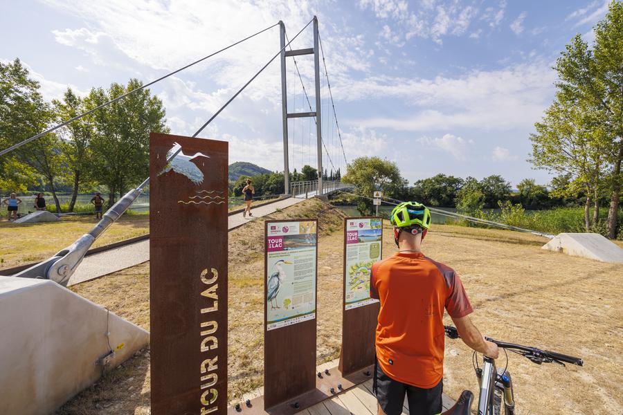
This route allows you to cross several villages of the Durance Valley, and to discover the small heritage of the region. Castles, chapels, churches, Provençal streets, Roman road, but also the major unmissable tourist sites.
The characteristics of the route.

Château-Arnoux-Saint-Auban (04)
- Distance 47.4 km
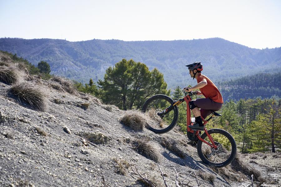
- Elevation gain 660 m
- Elevation lost 660 m
- Min. elevation 387 m
- Max. elevation. 565 m
- Duration (depending on pace) 5h
- Suivre le balisage Yes

Several departures are possible: Château-Arnoux, tourist office. Les Mées, village square. Malijai, castle car park. L'Escale, church square or Volonne, car park at the Durance bridge.
This route allows you to discover small heritage sites of the region such as castles, chapels, churches, Provençal streets, Roman roads. It is also an opportunity to admire major tourist sites such as the Pénitents des Mées, the Saint-Auban aerodrome, the Haute-Provence ornithological reserve with the Lac des Mées, the Malijai reservoir and the Escale reservoir.
This route allows you to discover small heritage sites of the region such as castles, chapels, churches, Provençal streets, Roman roads. It is also an opportunity to admire major tourist sites such as the Pénitents des Mées, the Saint-Auban aerodrome, the Haute-Provence ornithological reserve with the Lac des Mées, the Malijai reservoir and the Escale reservoir.
Area : Val de Durance
Report a problem
THIS ROUTE IN YOUR MOBILE PHONE
Download Provence Alpes Outdoor app
Get all the routes on your smartphone with the Provence Alpes outdoor app. You'll find a host of functions :
- Take advantage of detailed IGN maps
- Download data for consultation even when you're not connected to the network
- Geolocate yourself at any time on the route and altimeter profile
- Activate the off-track alarm to be alerted if you stray from the itinerary
- Find nearby services
- Share your experience (add a report, share your lap time)...

Add your time and share your feelings


Information updated on 2026-06-09 by Office de Tourisme Provence Alpes Digne les Bains


Provence Alpes Digne-les-Bains tourist office
+ 33(0)4 92 36 62 62
Tourist office
contact mail
Val de Durance – Château-Arnoux tourist office
+33 (0)4 92 64 02 64
Tourist office
contact mail
![]()
Moustiers-Sainte-Marie Tourist office
+ 33(0)4 92 74 67 84
Tourist office
contact mail
Seyne - Blanche Serre-Ponçon Tourist office
+33 (0)4 92 35 11 00
Tourist office
contact mail
 Provence Alpes Outdoor - Parcours - VTT n°2 - Le tour des clochers
Hello, world! This is a toast message.
Provence Alpes Outdoor - Parcours - VTT n°2 - Le tour des clochers
Hello, world! This is a toast message.
Provence Alpes Outdoor - Parcours - VTT n°2 - Le tour des clochers
Hello, world! This is a toast message.


OK
Annuler