VTT n°1 - La Bastide Blanche
Add to my favorites

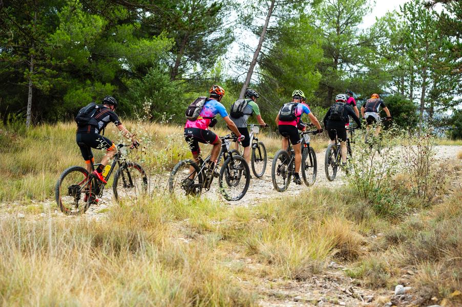
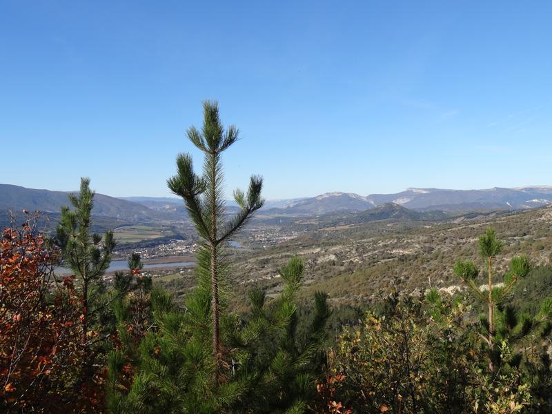
From the Escale in the car park under the church. The route begins with a steady climb on a track to the Col, crosses a large beech forest, very cool in summer, before descending by a technical path which joins a track to the village.
The characteristics of the route.

L'Escale (04)
- Distance 21.4 km
- Elevation gain 810 m
- Elevation lost 810 m
- Min. elevation 438 m
- Max. elevation. 1021 m
- Duration (depending on pace) 3h
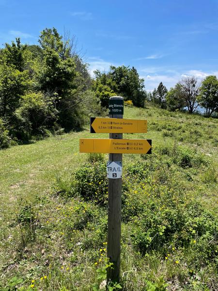
- Suivre le balisage Yes

Steady climb on the track to Collet then comes another long track down to the hamlet of Garce and a stony climb through the ravine of Barabine. At the pass, we leave the track on the right for a path that climbs into the broom and crosses a large beech forest, before going back down by a technical path.
Area : Val de Durance
Report a problem
THIS ROUTE IN YOUR MOBILE PHONE
Download Provence Alpes Outdoor app
Get all the routes on your smartphone with the Provence Alpes outdoor app. You'll find a host of functions :
- Take advantage of detailed IGN maps
- Download data for consultation even when you're not connected to the network
- Geolocate yourself at any time on the route and altimeter profile
- Activate the off-track alarm to be alerted if you stray from the itinerary
- Find nearby services
- Share your experience (add a report, share your lap time)...

Add your time and share your feelings


Information updated on 2025-05-22 by Office de Tourisme Provence Alpes Digne les Bains


Provence Alpes Digne-les-Bains tourist office
+ 33(0)4 92 36 62 62
Tourist office
contact mail
Val de Durance – Château-Arnoux tourist office
+33 (0)4 92 64 02 64
Tourist office
contact mail
![]()
Moustiers-Sainte-Marie Tourist office
+ 33(0)4 92 74 67 84
Tourist office
contact mail
Seyne - Blanche Serre-Ponçon Tourist office
+33 (0)4 92 35 11 00
Tourist office
contact mail
 Provence Alpes Outdoor - Parcours - VTT n°1 - La Bastide Blanche
Hello, world! This is a toast message.
Provence Alpes Outdoor - Parcours - VTT n°1 - La Bastide Blanche
Hello, world! This is a toast message.
Provence Alpes Outdoor - Parcours - VTT n°1 - La Bastide Blanche
Hello, world! This is a toast message.


OK
Annuler