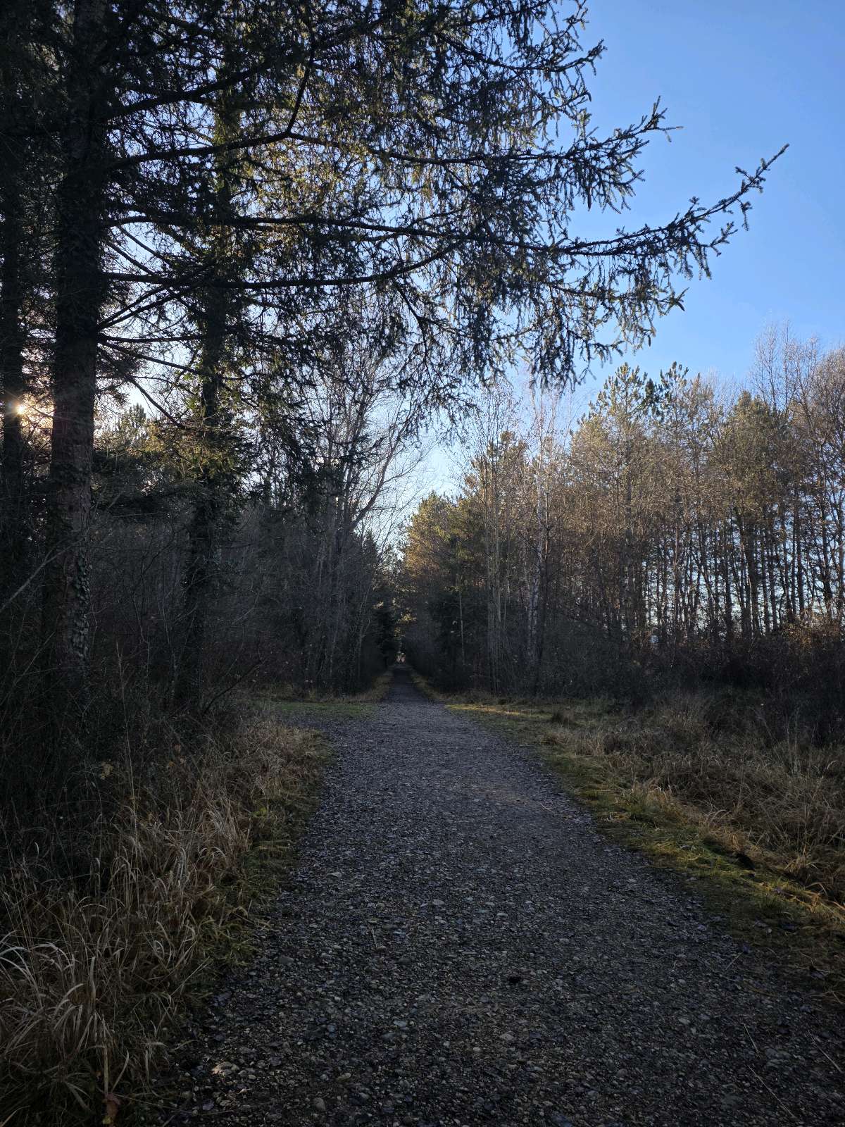
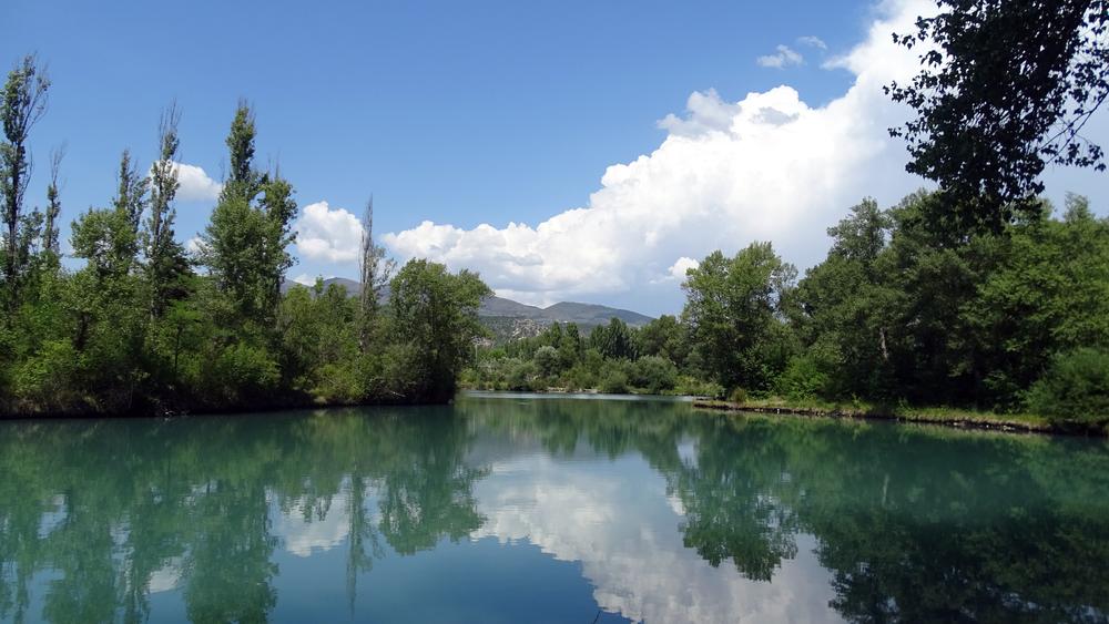
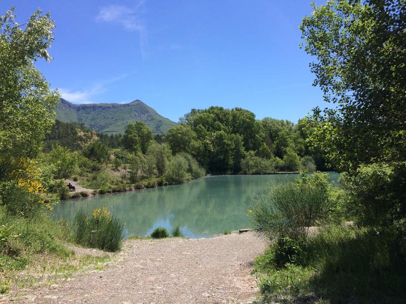
VTT n°2 - Le Hameau de Gaubert
Add to my favorites

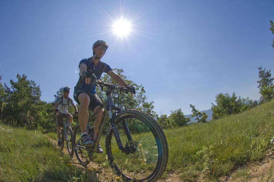
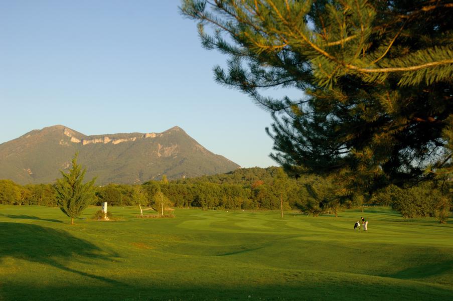
From the tourist office in the city center, take the cycle path along the Bléone, pass the lake and continue towards the hamlet of Gaubert. Continue towards the Golf and the small Train des Pignes station and return via the map.
The characteristics of the route.

Digne-les-Bains (04)
- Distance 16.2 km
- Elevation gain 230 m
- Elevation lost 230 m
- Min. elevation 535 m
- Max. elevation. 661 m
- Duration (depending on pace) 2h30
- Suivre le balisage Yes

Area : Digne-les-Bains
Report a problem
THIS ROUTE IN YOUR MOBILE PHONE
Download Provence Alpes Outdoor app
Get all the routes on your smartphone with the Provence Alpes outdoor app. You'll find a host of functions :
- Take advantage of detailed IGN maps
- Download data for consultation even when you're not connected to the network
- Geolocate yourself at any time on the route and altimeter profile
- Activate the off-track alarm to be alerted if you stray from the itinerary
- Find nearby services
- Share your experience (add a report, share your lap time)...

chris0503
finished in 01:36:00
The 2025/12/14
En savoir plus
Ajouter votre chrono et partager vos sensations


Information updated on 2025-05-22 by Office de Tourisme Provence Alpes Digne les Bains


Provence Alpes Digne-les-Bains tourist office
+ 33(0)4 92 36 62 62
Tourist office
contact mail
Val de Durance – Château-Arnoux tourist office
+33 (0)4 92 64 02 64
Tourist office
contact mail
![]()
Moustiers-Sainte-Marie Tourist office
+ 33(0)4 92 74 67 84
Tourist office
contact mail
Seyne - Blanche Serre-Ponçon Tourist office
+33 (0)4 92 35 11 00
Tourist office
contact mail
 Provence Alpes Outdoor - Parcours - VTT n°2 - Le Hameau de Gaubert
Hello, world! This is a toast message.
Provence Alpes Outdoor - Parcours - VTT n°2 - Le Hameau de Gaubert
Hello, world! This is a toast message.
Provence Alpes Outdoor - Parcours - VTT n°2 - Le Hameau de Gaubert
Hello, world! This is a toast message.


OK
Annuler