VTT n°4 - Le lac de Saint-Léger
Add to my favorites

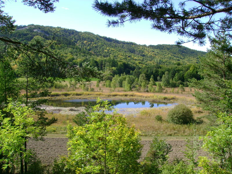
Family trail, passing by the Saint-Léger lake and the Templar chapel (13th century). Archaeological site housing the sacrificial stone from the time of the Druids.
The characteristics of the route.

Montclar (04)
- Distance 5.26 km
- Elevation gain 130 m
- Elevation lost 130 m
- Min. elevation 1316 m
- Max. elevation. 1389 m
- Duration (depending on pace) 1h
- Suivre le balisage Yes

This itinerary, mostly on tracks, climbs to the small lake at Saint-Léger before returning to the resort of Montclar. The route is suitable for electrically assisted mountain bikes (VTTAE).
Cycle service station (washing, inflation, water fountain) at the Montclar station.
Cycle service station (washing, inflation, water fountain) at the Montclar station.
Area : Blanche Serre-Ponçon
Report a problem
THIS ROUTE IN YOUR MOBILE PHONE
Download Provence Alpes Outdoor app
Get all the routes on your smartphone with the Provence Alpes outdoor app. You'll find a host of functions :
- Take advantage of detailed IGN maps
- Download data for consultation even when you're not connected to the network
- Geolocate yourself at any time on the route and altimeter profile
- Activate the off-track alarm to be alerted if you stray from the itinerary
- Find nearby services
- Share your experience (add a report, share your lap time)...

Add your time and share your feelings


Information updated on 2025-08-08 by Office de Tourisme Provence Alpes Digne les Bains


Provence Alpes Digne-les-Bains tourist office
+ 33(0)4 92 36 62 62
Tourist office
contact mail
Val de Durance – Château-Arnoux tourist office
+33 (0)4 92 64 02 64
Tourist office
contact mail
![]()
Moustiers-Sainte-Marie Tourist office
+ 33(0)4 92 74 67 84
Tourist office
contact mail
Seyne - Blanche Serre-Ponçon Tourist office
+33 (0)4 92 35 11 00
Tourist office
contact mail
 Provence Alpes Outdoor - Parcours - VTT n°4 - Le lac de Saint-Léger
Hello, world! This is a toast message.
Provence Alpes Outdoor - Parcours - VTT n°4 - Le lac de Saint-Léger
Hello, world! This is a toast message.
Provence Alpes Outdoor - Parcours - VTT n°4 - Le lac de Saint-Léger
Hello, world! This is a toast message.


OK
Annuler