VTT n°17 - La chapelle d'Augès
Add to my favorites

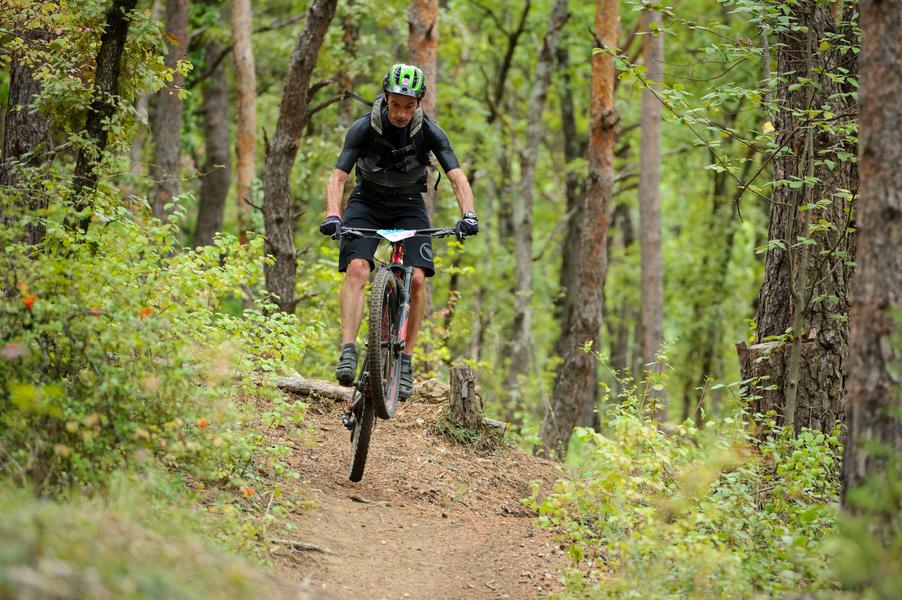
You cross the Bancau du champ de Gau, terraced gardens irrigated by a spring, and a climb takes you to the Bane plateau. The descent is via a technical path, then you join the Bas Col up to the Augès chapel.
The characteristics of the route.

Peyruis (04)
- Distance 15.3 km
- Elevation gain 620 m
- Elevation lost 620 m
- Min. elevation 408 m
- Max. elevation. 804 m
- Duration (depending on pace) 2h
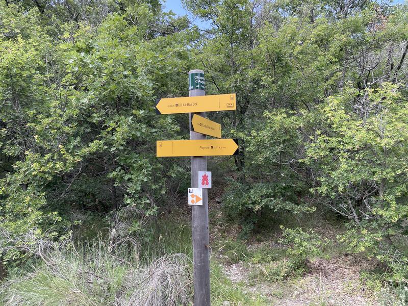
- Suivre le balisage Yes

Further on, in front of the ruins of Lioux, the last evidence of an ancestral life, you will go around the summit of Tourdeaux and go back down by a descent alternating between technical areas and fast passages.
Area : Val de Durance
Report a problem
THIS ROUTE IN YOUR MOBILE PHONE
Download Provence Alpes Outdoor app
Get all the routes on your smartphone with the Provence Alpes outdoor app. You'll find a host of functions :
- Take advantage of detailed IGN maps
- Download data for consultation even when you're not connected to the network
- Geolocate yourself at any time on the route and altimeter profile
- Activate the off-track alarm to be alerted if you stray from the itinerary
- Find nearby services
- Share your experience (add a report, share your lap time)...

Add your time and share your feelings


Information updated on 2025-05-22 by Office de Tourisme Provence Alpes Digne les Bains


Provence Alpes Digne-les-Bains tourist office
+ 33(0)4 92 36 62 62
Tourist office
contact mail
Val de Durance – Château-Arnoux tourist office
+33 (0)4 92 64 02 64
Tourist office
contact mail
![]()
Moustiers-Sainte-Marie Tourist office
+ 33(0)4 92 74 67 84
Tourist office
contact mail
Seyne - Blanche Serre-Ponçon Tourist office
+33 (0)4 92 35 11 00
Tourist office
contact mail
 Provence Alpes Outdoor - Parcours - VTT n°17 - La chapelle d'Augès
Hello, world! This is a toast message.
Provence Alpes Outdoor - Parcours - VTT n°17 - La chapelle d'Augès
Hello, world! This is a toast message.
Provence Alpes Outdoor - Parcours - VTT n°17 - La chapelle d'Augès
Hello, world! This is a toast message.


OK
Annuler