VTT n°3 - Le bois Noir
Add to my favorites

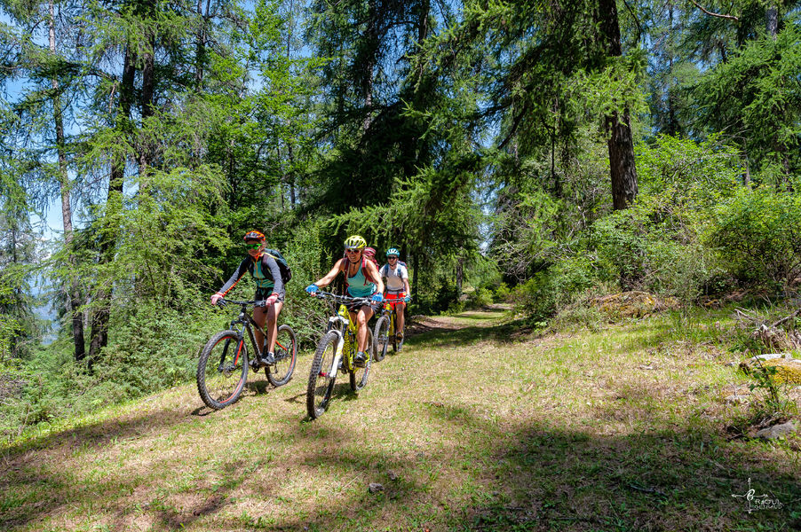
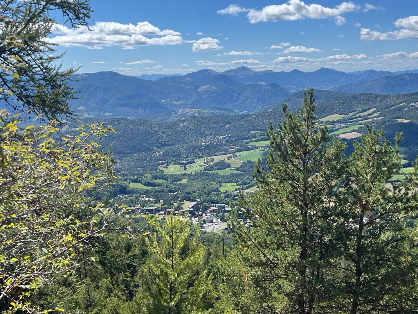
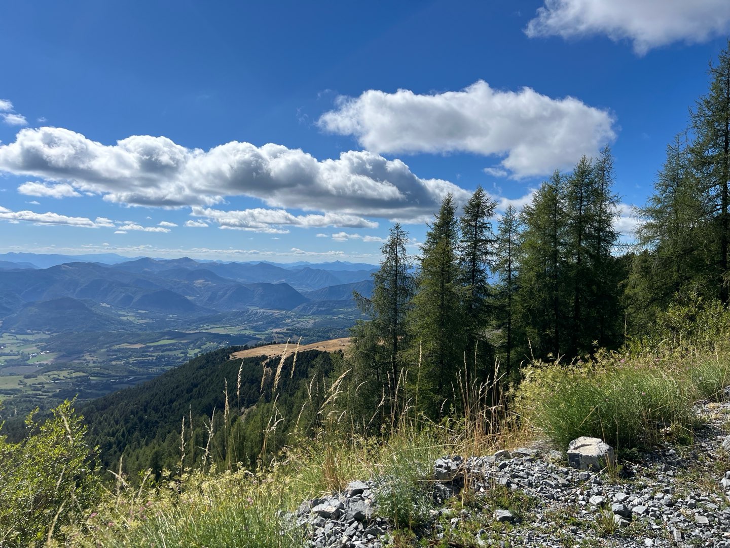
Most of the route is on tracks. High point at the Plateau de la Chau with a magnificent panorama of the mountains. Return on piste through a larch forest and finish in the resort's Bike Park.
The characteristics of the route.

Montclar (04)
- Distance 31.04 km
- Elevation gain 980 m
- Elevation lost 980 m
- Min. elevation 1284 m
- Max. elevation. 2013 m
- Duration (depending on pace) 3h30
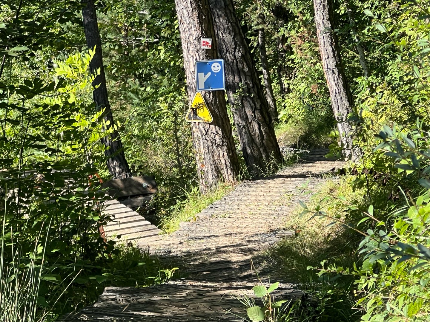
- Suivre le balisage Yes

Follow the same route as circuit no. 2 as far as Clot du Dou, then climb to the top of the Montclar estate on a forest track, before a beautiful descent through the forest to the resort. Suitable for electrically assisted mountain bikes (VTTAE).
Cycle service station (washing, inflation, water fountain) at the Montclar station.
Cycle service station (washing, inflation, water fountain) at the Montclar station.
Area : Blanche Serre-Ponçon
Report a problem
THIS ROUTE IN YOUR MOBILE PHONE
Download Provence Alpes Outdoor app
Get all the routes on your smartphone with the Provence Alpes outdoor app. You'll find a host of functions :
- Take advantage of detailed IGN maps
- Download data for consultation even when you're not connected to the network
- Geolocate yourself at any time on the route and altimeter profile
- Activate the off-track alarm to be alerted if you stray from the itinerary
- Find nearby services
- Share your experience (add a report, share your lap time)...

Bardinus
The 2025/08/30
En savoir plus
Ajouter votre chrono et partager vos sensations


Information updated on 2025-05-22 by Office de Tourisme Provence Alpes Digne les Bains


Provence Alpes Digne-les-Bains tourist office
+ 33(0)4 92 36 62 62
Tourist office
contact mail
Val de Durance – Château-Arnoux tourist office
+33 (0)4 92 64 02 64
Tourist office
contact mail
![]()
Moustiers-Sainte-Marie Tourist office
+ 33(0)4 92 74 67 84
Tourist office
contact mail
Seyne - Blanche Serre-Ponçon Tourist office
+33 (0)4 92 35 11 00
Tourist office
contact mail
 Provence Alpes Outdoor - Parcours - VTT n°3 - Le bois Noir
Hello, world! This is a toast message.
Provence Alpes Outdoor - Parcours - VTT n°3 - Le bois Noir
Hello, world! This is a toast message.
Provence Alpes Outdoor - Parcours - VTT n°3 - Le bois Noir
Hello, world! This is a toast message.


OK
Annuler