The Durance by bike
Add to my favorites

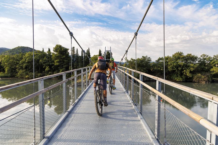
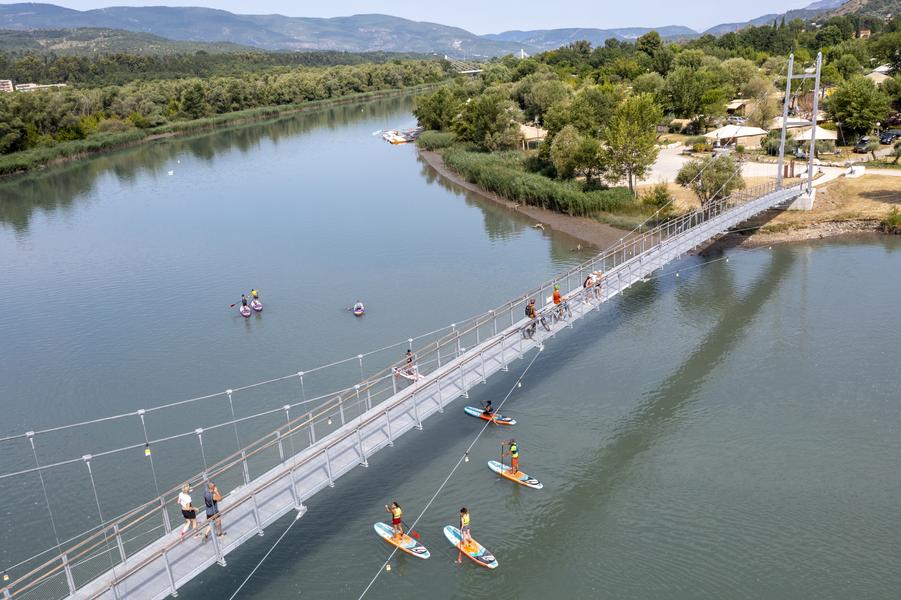
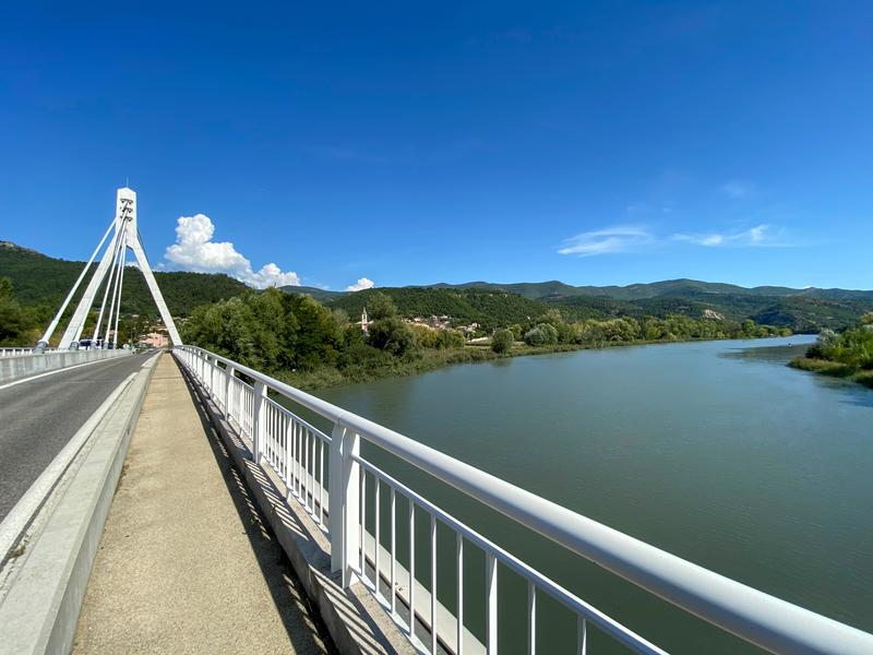
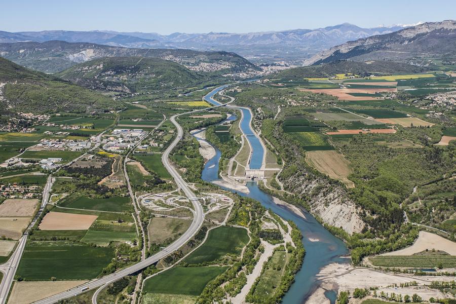
This route crosses the Durance Valley along the water, between Briançon in the Hautes-Alpes and Avignon in the Vaucluse, over a distance of 438 km. Nine routes make up this road traced across four departments of the South Region.
The characteristics of the route.

Château-Arnoux-Saint-Auban (04)
- Distance 47.34 km
- Elevation gain 426 m
- Elevation lost 544 m
- Min. elevation 365 m
- Max. elevation. 547 m
- Marking Yes
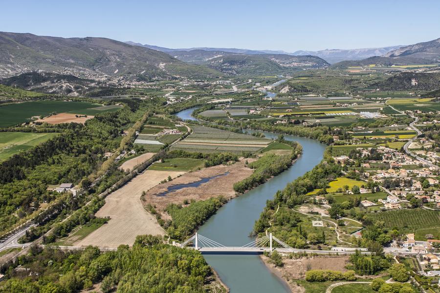
In the Alpes de Haute Provence, a stage between Sisteron and Manosque will take you through the heart of agricultural plains, through orchards and along lavender fields. An exceptional route that will allow you to discover the Haute-Provence Ornithological Reserve along the Escale lake. You will also have the pleasure of passing at the foot of the Pénitents des Mées, this geological curiosity of the Durance valley. These multi-millennial rocks are spectacular and mark the entrance to the Haute-Provence Geopark.
Area : Val de Durance
Report a problem
THIS ROUTE IN YOUR MOBILE PHONE
Download Provence Alpes Outdoor app
Get all the routes on your smartphone with the Provence Alpes outdoor app. You'll find a host of functions :
- Take advantage of detailed IGN maps
- Download data for consultation even when you're not connected to the network
- Geolocate yourself at any time on the route and altimeter profile
- Activate the off-track alarm to be alerted if you stray from the itinerary
- Find nearby services
- Share your experience (add a report, share your lap time)...

Add your time and share your feelings


Information updated on 2025-05-22 by Office de Tourisme Provence Alpes Digne les Bains


Provence Alpes Digne-les-Bains tourist office
+ 33(0)4 92 36 62 62
Tourist office
contact mail
Val de Durance – Château-Arnoux tourist office
+33 (0)4 92 64 02 64
Tourist office
contact mail
![]()
Moustiers-Sainte-Marie Tourist office
+ 33(0)4 92 74 67 84
Tourist office
contact mail
Seyne - Blanche Serre-Ponçon Tourist office
+33 (0)4 92 35 11 00
Tourist office
contact mail
 Provence Alpes Outdoor - Parcours - The Durance by bike
Hello, world! This is a toast message.
Provence Alpes Outdoor - Parcours - The Durance by bike
Hello, world! This is a toast message.
Provence Alpes Outdoor - Parcours - The Durance by bike
Hello, world! This is a toast message.


OK
Annuler