Gravel n°G2 - Tour Col du Fanget - Grand Puy
Add to my favorites

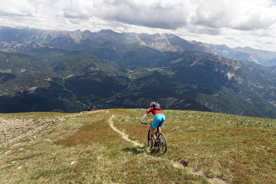
Discover the hamlets and farms of the Pays de Seyne, along small roads (50%) and tracks suitable for vehicles, they offer the possibility of discovering the Blanche valley while walking at your own pace.
The characteristics of the route.

Seyne (04)
- Distance 23.84 km
- Elevation gain 690 m
- Elevation lost 690 m
- Min. elevation 1150 m
- Max. elevation. 1523 m
- Duration (depending on pace) 2h30
- Marking Yes
Area : Blanche Serre-Ponçon
Report a problem
THIS ROUTE IN YOUR MOBILE PHONE
Download Provence Alpes Outdoor app
Get all the routes on your smartphone with the Provence Alpes outdoor app. You'll find a host of functions :
- Take advantage of detailed IGN maps
- Download data for consultation even when you're not connected to the network
- Geolocate yourself at any time on the route and altimeter profile
- Activate the off-track alarm to be alerted if you stray from the itinerary
- Find nearby services
- Share your experience (add a report, share your lap time)...

Add your time and share your feelings


Information updated on 2026-06-12 by Office de Tourisme Provence Alpes Digne les Bains


Provence Alpes Digne-les-Bains tourist office
+ 33(0)4 92 36 62 62
Tourist office
contact mail
Val de Durance – Château-Arnoux tourist office
+33 (0)4 92 64 02 64
Tourist office
contact mail
![]()
Moustiers-Sainte-Marie Tourist office
+ 33(0)4 92 74 67 84
Tourist office
contact mail
Seyne - Blanche Serre-Ponçon Tourist office
+33 (0)4 92 35 11 00
Tourist office
contact mail
 Provence Alpes Outdoor - Parcours - Gravel n°G2 - Tour Col du Fanget - Grand Puy
Hello, world! This is a toast message.
Provence Alpes Outdoor - Parcours - Gravel n°G2 - Tour Col du Fanget - Grand Puy
Hello, world! This is a toast message.
Provence Alpes Outdoor - Parcours - Gravel n°G2 - Tour Col du Fanget - Grand Puy
Hello, world! This is a toast message.


OK
Annuler