Plateau de Chauvet - Difficile 9km
Add to my favorites

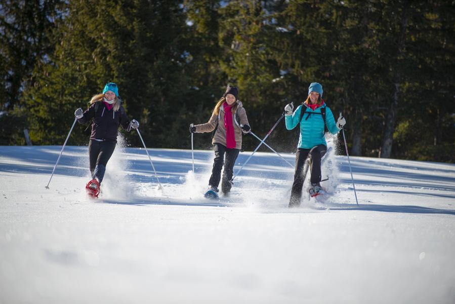
Walk through the undergrowth on a track, with views over the valley.
The characteristics of the route.
Selonnet (04)
- Distance 8.67 km
- Elevation gain 300 m
- Elevation lost 300 m
- Min. elevation 1501 m
- Max. elevation. 1601 m
- Duration (depending on pace) 4h
- Marking Yes
From the starting point under the Tourist Office, reach the Hôtel "Le Blanchon" and, opposite, take the path below the road (piste forestière de Valentin). At the 1st crossroads, turn left and follow the track all the way to the water troughs (Lacasses).
Halfway along, you'll come to a viewpoint overlooking the valley.
Then turn right to reach the Chauvet plateau, with its panoramic view of the Alpine peaks and the Blanche mountain range, the perfect picnic spot. Return by the same route.
This route is partly shared with the skijoring activity. Dogs on leash.
Report a problem
THIS ROUTE IN YOUR MOBILE PHONE
Download Provence Alpes Outdoor app
Get all the routes on your smartphone with the Provence Alpes outdoor app. You'll find a host of functions :
- Take advantage of detailed IGN maps
- Download data for consultation even when you're not connected to the network
- Geolocate yourself at any time on the route and altimeter profile
- Activate the off-track alarm to be alerted if you stray from the itinerary
- Find nearby services
- Share your experience (add a report, share your lap time)...

Add your time and share your feelings


Information updated on 2026-06-02 by Office de Tourisme Provence Alpes Digne les Bains


Provence Alpes Digne-les-Bains tourist office
+ 33(0)4 92 36 62 62
Tourist office
contact mail
Val de Durance – Château-Arnoux tourist office
+33 (0)4 92 64 02 64
Tourist office
contact mail
![]()
Moustiers-Sainte-Marie Tourist office
+ 33(0)4 92 74 67 84
Tourist office
contact mail
Seyne - Blanche Serre-Ponçon Tourist office
+33 (0)4 92 35 11 00
Tourist office
contact mail
 Provence Alpes Outdoor - Parcours - Plateau de Chauvet - Difficile 9km
Hello, world! This is a toast message.
Provence Alpes Outdoor - Parcours - Plateau de Chauvet - Difficile 9km
Hello, world! This is a toast message.
Provence Alpes Outdoor - Parcours - Plateau de Chauvet - Difficile 9km
Hello, world! This is a toast message.


OK
Annuler