VTT n°18 - Sommet de Chabanon depuis la station
Add to my favorites

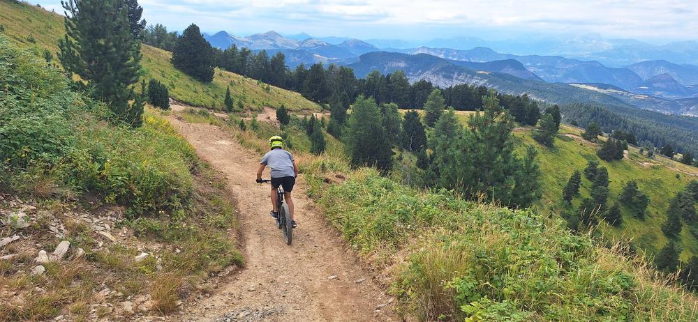
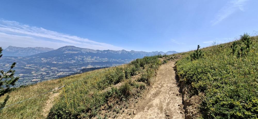
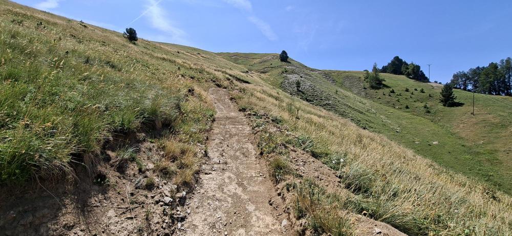
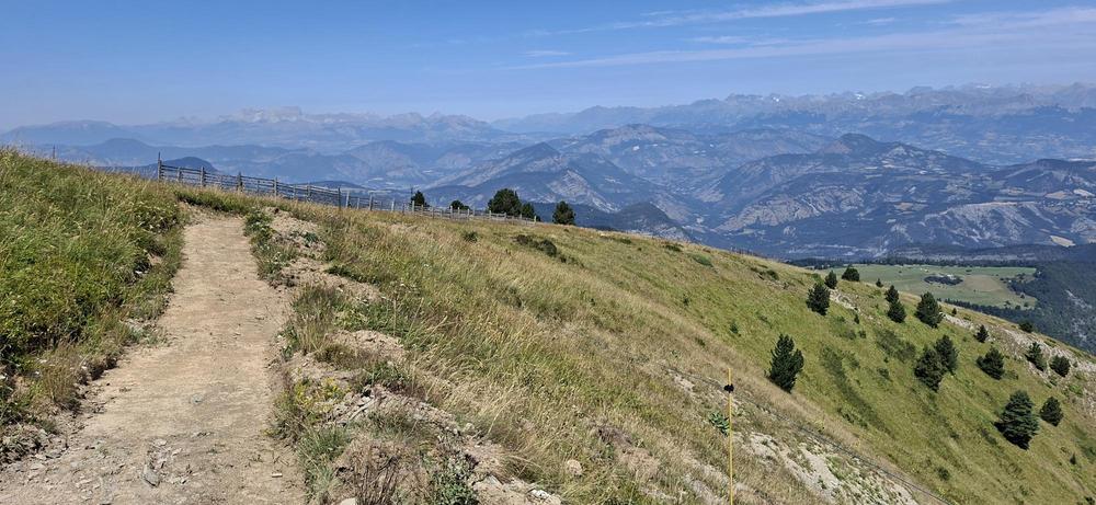
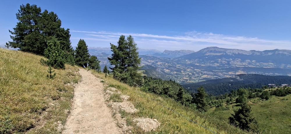
This alpine route, starting from Chabanon, will take you to the summit of the resort at an altitude of 1,952 m, where you will ride along trails from the former bike park, reopened specifically for e-mountain biking.
The characteristics of the route.

Selonnet (04)
- Distance 9.57 km
- Elevation gain 520 m
- Elevation lost 520 m
- Min. elevation 1566 m
- Max. elevation. 1949 m
- Duration (depending on pace) 1h30
- Suivre le balisage Yes

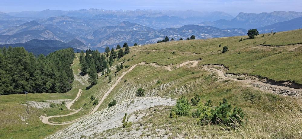
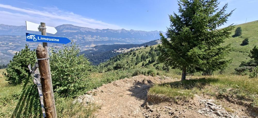
After setting off along the forest track of the Monges chairlift, you will quickly exit the forest to climb up a mountain bike trail (2 km) through alpine pastures to the summit. The descent follows "La Limousine" MTB trail (2 km) before returning to the resort.
Area : Blanche Serre-Ponçon
Report a problem
THIS ROUTE IN YOUR MOBILE PHONE
Download Provence Alpes Outdoor app
Get all the routes on your smartphone with the Provence Alpes outdoor app. You'll find a host of functions :
- Take advantage of detailed IGN maps
- Download data for consultation even when you're not connected to the network
- Geolocate yourself at any time on the route and altimeter profile
- Activate the off-track alarm to be alerted if you stray from the itinerary
- Find nearby services
- Share your experience (add a report, share your lap time)...

Add your time and share your feelings


Information updated on 2026-08-26 by Office de Tourisme Provence Alpes Digne les Bains


Provence Alpes Digne-les-Bains tourist office
+ 33(0)4 92 36 62 62
Tourist office
contact mail
Val de Durance – Château-Arnoux tourist office
+33 (0)4 92 64 02 64
Tourist office
contact mail

Moustiers-Sainte-Marie Tourist office
+ 33(0)4 92 74 67 84
Tourist office
contact mail
Seyne - Blanche Serre-Ponçon Tourist office
+33 (0)4 92 35 11 00
Tourist office
contact mail
 Provence Alpes Outdoor - Parcours - VTT n°18 - Sommet de Chabanon depuis la station
Hello, world! This is a toast message.
Provence Alpes Outdoor - Parcours - VTT n°18 - Sommet de Chabanon depuis la station
Hello, world! This is a toast message.
Provence Alpes Outdoor - Parcours - VTT n°18 - Sommet de Chabanon depuis la station
Hello, world! This is a toast message.


OK
Annuler