Circuit de Saint Pierre
Add to my favorites

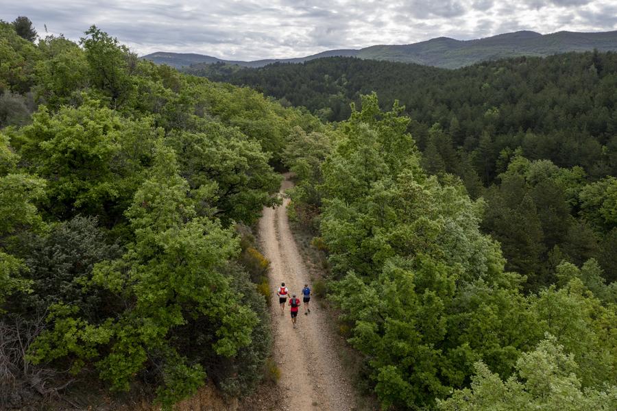
This hike takes place almost entirely within the limits of
the national forest, where the ONF has carried out numerous reforestation of black pine in order to combat soil erosion.
The characteristics of the route.

L'Escale (04)
- Distance 6.79 km
- Elevation gain 350 m
- Elevation lost 350 m
- Min. elevation 450 m
- Max. elevation. 787 m
- Duration (depending on pace) 2h30
- Suivre le balisage Yes

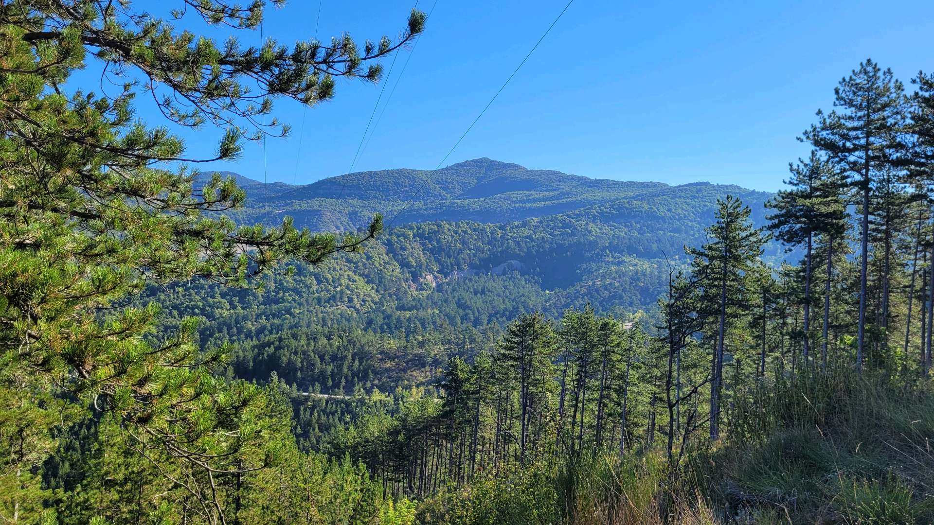
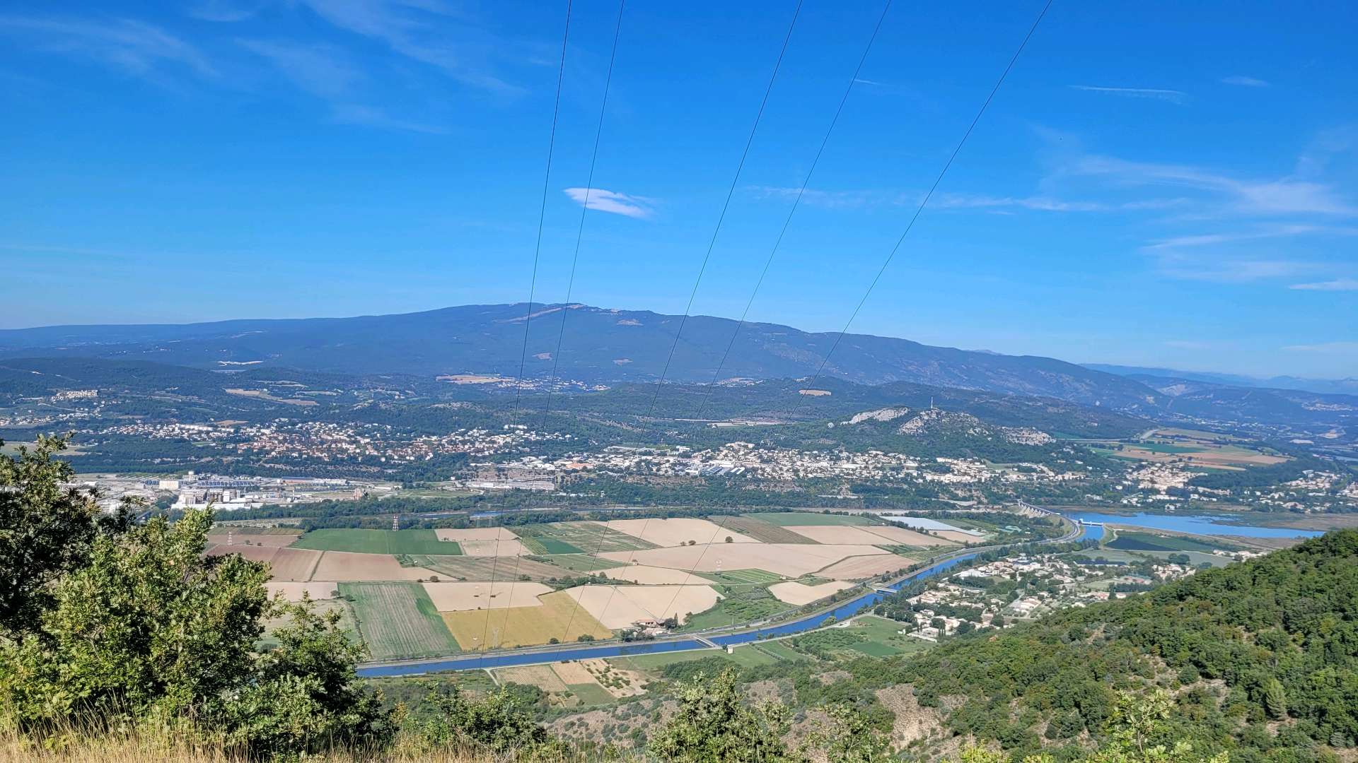
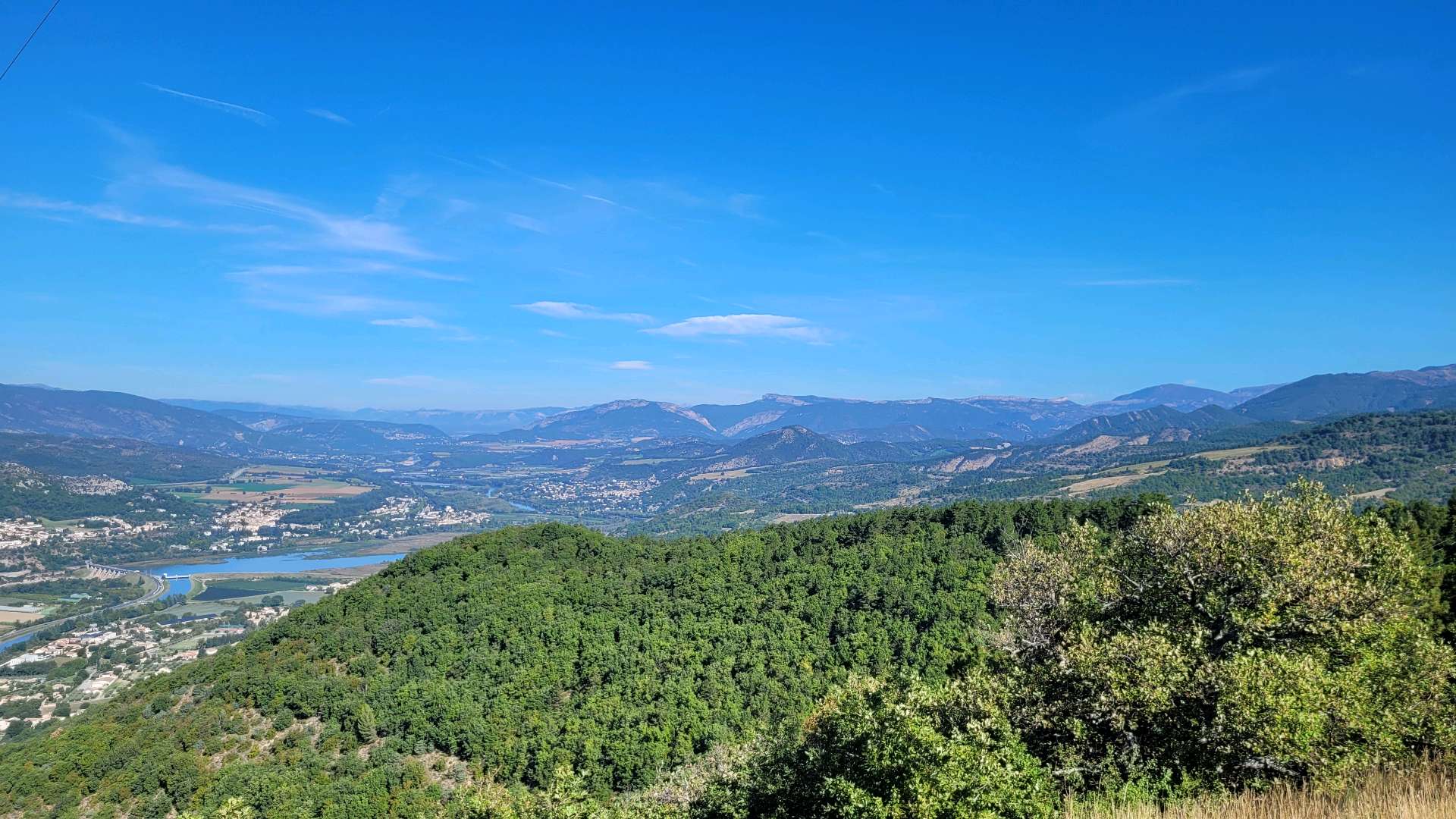
Departure from the stopover, in front of the primary school. The path crosses the village of l'Escale towards the hamlet of Girauds. From there, it follows the limit of the national forest by a steady slope. This pine forest offers an unexpected shelter for a fauna that is usually more mountainous. Arrived at the top, the route takes on the side, on your left, direction "Pourachère". The bravest can 250m further, head towards the summit of Pourachère on the right (30min). Otherwise, follow the path down to a crossroads of five tracks. From there, follow the direction of l'Escale. After 500m, the path descends into the forest and allows you to reach the village.
Area : Val de Durance
Report a problem
THIS ROUTE IN YOUR MOBILE PHONE
Download Provence Alpes Outdoor app
Get all the routes on your smartphone with the Provence Alpes outdoor app. You'll find a host of functions :
- Take advantage of detailed IGN maps
- Download data for consultation even when you're not connected to the network
- Geolocate yourself at any time on the route and altimeter profile
- Activate the off-track alarm to be alerted if you stray from the itinerary
- Find nearby services
- Share your experience (add a report, share your lap time)...

Souris24
The 2025/09/26
En savoir plus
Souris24
The 2025/09/26
En savoir plus
Ajouter votre chrono et partager vos sensations
2025/09/26 Souris24


Information updated on 2025-04-24 by Office de Tourisme Provence Alpes Digne les Bains


Provence Alpes Digne-les-Bains tourist office
+ 33(0)4 92 36 62 62
Tourist office
contact mail
Val de Durance – Château-Arnoux tourist office
+33 (0)4 92 64 02 64
Tourist office
contact mail
![]()
Moustiers-Sainte-Marie Tourist office
+ 33(0)4 92 74 67 84
Tourist office
contact mail
Seyne - Blanche Serre-Ponçon Tourist office
+33 (0)4 92 35 11 00
Tourist office
contact mail
 Provence Alpes Outdoor - Parcours - Circuit de Saint Pierre
Hello, world! This is a toast message.
Provence Alpes Outdoor - Parcours - Circuit de Saint Pierre
Hello, world! This is a toast message.
Provence Alpes Outdoor - Parcours - Circuit de Saint Pierre
Hello, world! This is a toast message.


OK
Annuler