Balcons de la Durance
Add to my favorites

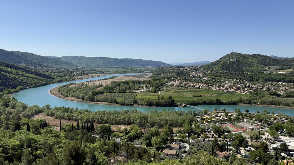
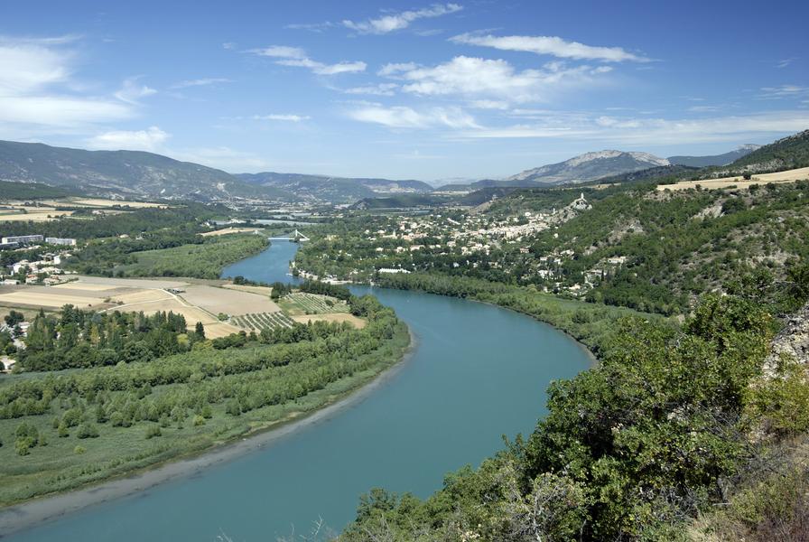
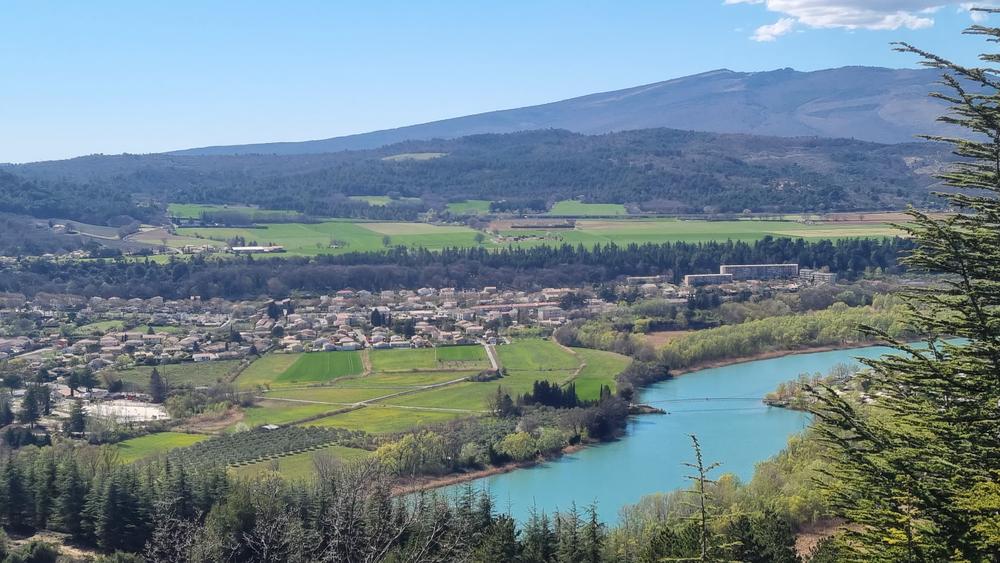
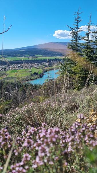
This hike will make you discover different landscapes typical of Haute-Provence: scrubland, oak or beech woods, an abandoned village as well as some pretty viewpoints on the Durance.
The characteristics of the route.

L'Escale (04)
- Distance 13.55 km
- Elevation gain 440 m
- Elevation lost 440 m
- Min. elevation 431 m
- Max. elevation. 692 m
- Duration (depending on pace) 4h
- Suivre le balisage Yes


The trail first crosses the old hamlet of Cléments then climbs towards the ruined village of Vière. Then climb 300m of altitude difference on a well-marked track. A crossing on the hillside in the undergrowth allows you to catch your breath for 1km before continuing the climb to the place called "bastide blanche". From there, switch to the ravine of Barrabine, in the direction of Mirabeau. 1,2km further, the trail branches off to the right and climbs in the undergrowth to the crest of Pailleroux. It then descends to the Escale, successively crossing an oak forest, a cultivated area, then a dry scrubland, the domain of aromatic plants.
Area : Val de Durance
Report a problem
THIS ROUTE IN YOUR MOBILE PHONE
Download Provence Alpes Outdoor app
Get all the routes on your smartphone with the Provence Alpes outdoor app. You'll find a host of functions :
- Take advantage of detailed IGN maps
- Download data for consultation even when you're not connected to the network
- Geolocate yourself at any time on the route and altimeter profile
- Activate the off-track alarm to be alerted if you stray from the itinerary
- Find nearby services
- Share your experience (add a report, share your lap time)...

Add your time and share your feelings


Information updated on 2026-04-22 by Office de Tourisme Provence Alpes Digne les Bains


Provence Alpes Digne-les-Bains tourist office
+ 33(0)4 92 36 62 62
Tourist office
contact mail
Val de Durance – Château-Arnoux tourist office
+33 (0)4 92 64 02 64
Tourist office
contact mail
![]()
Moustiers-Sainte-Marie Tourist office
+ 33(0)4 92 74 67 84
Tourist office
contact mail
Seyne - Blanche Serre-Ponçon Tourist office
+33 (0)4 92 35 11 00
Tourist office
contact mail
 Provence Alpes Outdoor - Parcours - Balcons de la Durance
Hello, world! This is a toast message.
Provence Alpes Outdoor - Parcours - Balcons de la Durance
Hello, world! This is a toast message.
Provence Alpes Outdoor - Parcours - Balcons de la Durance
Hello, world! This is a toast message.


OK
Annuler