Circuit des Bruyères
Add to my favorites

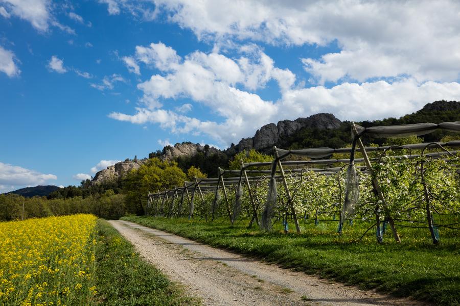
This circuit without any real difficulty, ideal for a family nature outing, will guide you through a dense plant environment, in which white oak and tree heather dominate.
The characteristics of the route.

Château-Arnoux-Saint-Auban (04)
- Distance 5.51 km
- Elevation gain 210 m
- Elevation lost 210 m
- Min. elevation 534 m
- Max. elevation. 728 m
- Duration (depending on pace) 2h
- Suivre le balisage Yes

Departure from Chateau-Arnoux at the place called "des 2 ponts" located on the access track to Châteauneuf Val St Donat. From the 2 bridges, a track takes you to the large hills. Continue along this ridge line towards Aubignosc. About 20 minutes later the path crosses a high-voltage line and takes its path on your right through an area cleared by successive logging operations. You then join a beautiful track and finally a path that will take you back to the 2 bridges.
Area : Val de Durance
Report a problem
THIS ROUTE IN YOUR MOBILE PHONE
Download Provence Alpes Outdoor app
Get all the routes on your smartphone with the Provence Alpes outdoor app. You'll find a host of functions :
- Take advantage of detailed IGN maps
- Download data for consultation even when you're not connected to the network
- Geolocate yourself at any time on the route and altimeter profile
- Activate the off-track alarm to be alerted if you stray from the itinerary
- Find nearby services
- Share your experience (add a report, share your lap time)...

Add your time and share your feelings


Information updated on 2025-05-30 by Office de Tourisme Provence Alpes Digne les Bains


Provence Alpes Digne-les-Bains tourist office
+ 33(0)4 92 36 62 62
Tourist office
contact mail
Val de Durance – Château-Arnoux tourist office
+33 (0)4 92 64 02 64
Tourist office
contact mail
![]()
Moustiers-Sainte-Marie Tourist office
+ 33(0)4 92 74 67 84
Tourist office
contact mail
Seyne - Blanche Serre-Ponçon Tourist office
+33 (0)4 92 35 11 00
Tourist office
contact mail
 Provence Alpes Outdoor - Parcours - Circuit des Bruyères
Hello, world! This is a toast message.
Provence Alpes Outdoor - Parcours - Circuit des Bruyères
Hello, world! This is a toast message.
Provence Alpes Outdoor - Parcours - Circuit des Bruyères
Hello, world! This is a toast message.


OK
Annuler