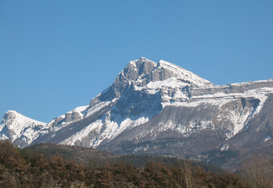
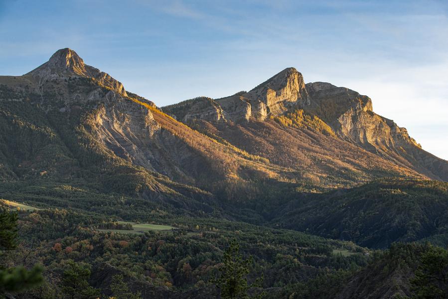
Pic de Couar (1989 m)
Add to my favorites

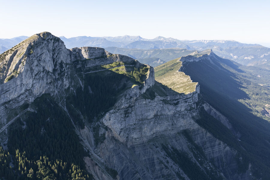
Very pretty hike above Archail. Superb panorama throughout the walk as well as at the top. Magical passage on the Pas d'Archail, between the summit of the Pic de Couard and the Cucuyon. Very pleasant setting.
The characteristics of the route.

Archail (04)
- Distance 14.52 km
- Elevation gain 1050 m
- Elevation lost 1050 m
- Min. elevation 953 m
- Max. elevation. 1975 m
- Duration (depending on pace) 6h
- Suivre le balisage Yes

The departure is from the village of Archail. The road to the village is quite narrow and there can be snow or ice in winter. Arriving in Archail, park in the main square next to the church.
Go up the road to the left of the church then turn right at the fork shortly after. If the road is not blocked, there is the possibility of parking a little further away in a small car park at the Vieraron dam.
At the Vieraron dam, leave the tarmac to continue on a wide path. Ignore further on a departure on the left and continue straight to reach a track.
Cross the latter and go straight to find it higher.
Cross the track again to take the path that climbs opposite and reach a complex intersection.
Turn left on the path which begins a series of bends further on before reaching Pas d'Archail where there is a refuge and an old shepherd's hut.
Continue on the right, pass in front of the refuge then leave the track to take a path on the right. After a few bends, the path widens and the slope softens as it crosses the managed biological reserve of Pic de Couard.
Turn right with the path; the slope becomes steeper and the path climbs in bends to the summit of Pic de Couard. There is little signage and if you lose the path, head towards the ridge to the left of the summit.
The return is by the same route to the village (D/A).
Area : Digne-les-Bains
Report a problem
THIS ROUTE IN YOUR MOBILE PHONE
Download Provence Alpes Outdoor app
Get all the routes on your smartphone with the Provence Alpes outdoor app. You'll find a host of functions :
- Take advantage of detailed IGN maps
- Download data for consultation even when you're not connected to the network
- Geolocate yourself at any time on the route and altimeter profile
- Activate the off-track alarm to be alerted if you stray from the itinerary
- Find nearby services
- Share your experience (add a report, share your lap time)...

AlbJf
The 2025/06/07
En savoir plus
Ajouter votre chrono et partager vos sensations
2025/06/07 AlbJf
2025/06/07 AlbJf


Information updated on 2025-05-21 by Office de Tourisme Provence Alpes Digne les Bains


Provence Alpes Digne-les-Bains tourist office
+ 33(0)4 92 36 62 62
Tourist office
contact mail
Val de Durance – Château-Arnoux tourist office
+33 (0)4 92 64 02 64
Tourist office
contact mail
![]()
Moustiers-Sainte-Marie Tourist office
+ 33(0)4 92 74 67 84
Tourist office
contact mail
Seyne - Blanche Serre-Ponçon Tourist office
+33 (0)4 92 35 11 00
Tourist office
contact mail
 Provence Alpes Outdoor - Parcours - Pic de Couar (1989 m)
Hello, world! This is a toast message.
Provence Alpes Outdoor - Parcours - Pic de Couar (1989 m)
Hello, world! This is a toast message.
Provence Alpes Outdoor - Parcours - Pic de Couar (1989 m)
Hello, world! This is a toast message.


OK
Annuler