Grande Aiguille (1728 m)
Add to my favorites

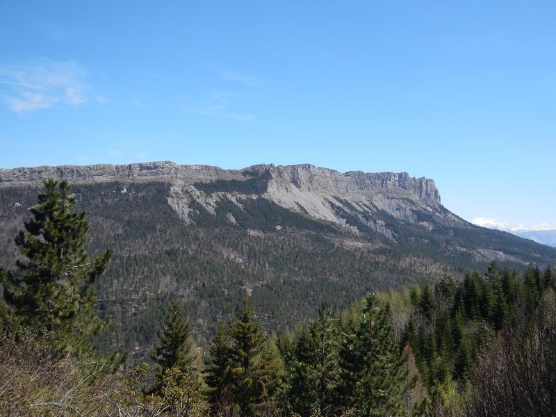
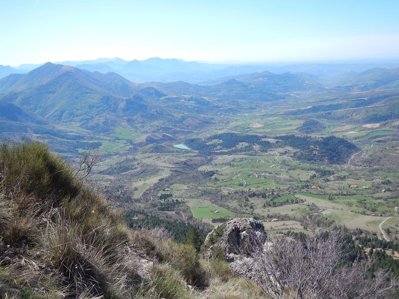
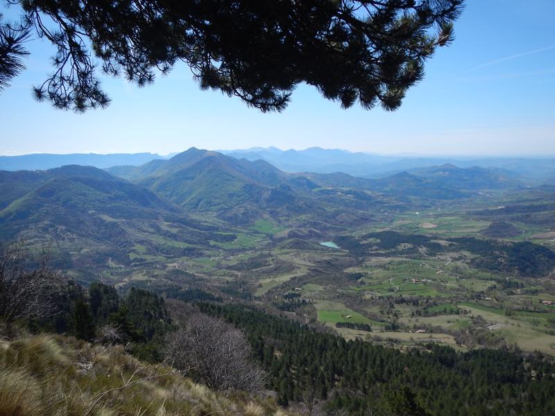
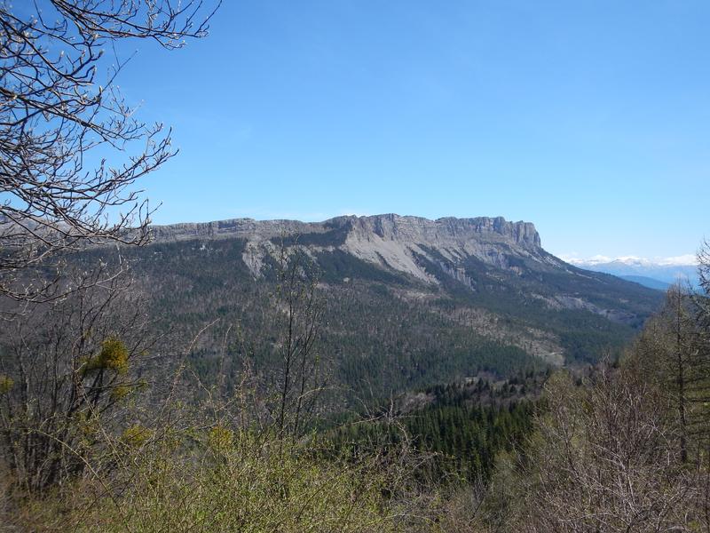
From the Col de Fontbelle head towards the St Vincent cave, following the GR®6 which leads to the aerial ridge with a view of the Duyes valley, the Lure mountain and the middle Durance valley. Possible departure from Mélan (15 km – 5 hours – 800 m D+).
The characteristics of the route.

Le Castellard-Melan (04)
- Distance 10.8 km
- Elevation gain 550 m
- Elevation lost 550 m
- Min. elevation 1303 m
- Max. elevation. 1660 m
- Duration (depending on pace) 4h
- Suivre le balisage Yes


Go down towards the south for 1 km and take the yellow PR on the left towards the Grande Aiguille. From the top of the GR®6, you can follow the ridge track towards the East, punctuated by panoramas, up to the Grande Aiguille. The path on the North side will take you back to the Col de Fontbelle.
Area : Digne-les-Bains
Report a problem
THIS ROUTE IN YOUR MOBILE PHONE
Download Provence Alpes Outdoor app
Get all the routes on your smartphone with the Provence Alpes outdoor app. You'll find a host of functions :
- Take advantage of detailed IGN maps
- Download data for consultation even when you're not connected to the network
- Geolocate yourself at any time on the route and altimeter profile
- Activate the off-track alarm to be alerted if you stray from the itinerary
- Find nearby services
- Share your experience (add a report, share your lap time)...

Add your time and share your feelings


Information updated on 2025-04-03 by Office de Tourisme Provence Alpes Digne les Bains


Provence Alpes Digne-les-Bains tourist office
+ 33(0)4 92 36 62 62
Tourist office
contact mail
Val de Durance – Château-Arnoux tourist office
+33 (0)4 92 64 02 64
Tourist office
contact mail
![]()
Moustiers-Sainte-Marie Tourist office
+ 33(0)4 92 74 67 84
Tourist office
contact mail
Seyne - Blanche Serre-Ponçon Tourist office
+33 (0)4 92 35 11 00
Tourist office
contact mail
 Provence Alpes Outdoor - Parcours - Grande Aiguille (1728 m)
Hello, world! This is a toast message.
Provence Alpes Outdoor - Parcours - Grande Aiguille (1728 m)
Hello, world! This is a toast message.
Provence Alpes Outdoor - Parcours - Grande Aiguille (1728 m)
Hello, world! This is a toast message.


OK
Annuler