Sommet de la Bigue (1653 m)
Add to my favorites

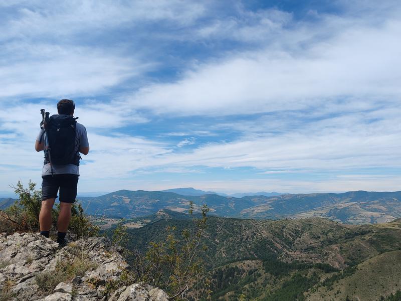
This hike, starting from the village of Thoard, follows the markings of the great crossing of the Prealps. In its first part, which may seem a little difficult, the path winds through a scrubland area before reaching a magnificent beech forest.
The characteristics of the route.

Thoard (04)
- Distance 24.05 km
- Elevation gain 1140 m
- Elevation lost 1140 m
- Min. elevation 789 m
- Max. elevation. 1641 m
- Duration (depending on pace) 7h
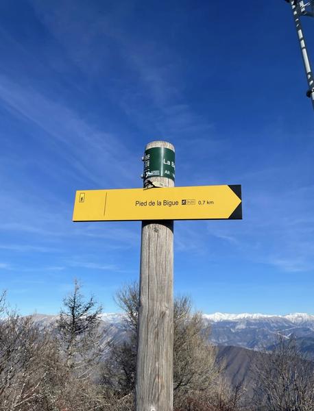
- Suivre le balisage Yes

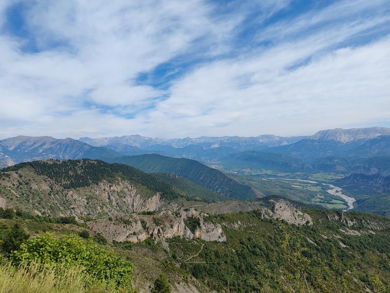
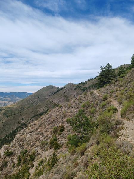
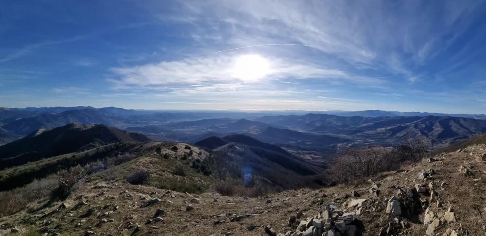
The hike continues on the shady side of the Siron massif to reach the crest at “la Bigue” and offer a superb panoramic view.
Area : Digne-les-Bains
Report a problem
THIS ROUTE IN YOUR MOBILE PHONE
Download Provence Alpes Outdoor app
Get all the routes on your smartphone with the Provence Alpes outdoor app. You'll find a host of functions :
- Take advantage of detailed IGN maps
- Download data for consultation even when you're not connected to the network
- Geolocate yourself at any time on the route and altimeter profile
- Activate the off-track alarm to be alerted if you stray from the itinerary
- Find nearby services
- Share your experience (add a report, share your lap time)...

Add your time and share your feelings


Information updated on 2025-06-06 by Office de Tourisme Provence Alpes Digne les Bains


Provence Alpes Digne-les-Bains tourist office
+ 33(0)4 92 36 62 62
Tourist office
contact mail
Val de Durance – Château-Arnoux tourist office
+33 (0)4 92 64 02 64
Tourist office
contact mail
![]()
Moustiers-Sainte-Marie Tourist office
+ 33(0)4 92 74 67 84
Tourist office
contact mail
Seyne - Blanche Serre-Ponçon Tourist office
+33 (0)4 92 35 11 00
Tourist office
contact mail
 Provence Alpes Outdoor - Parcours - Sommet de la Bigue (1653 m)
Hello, world! This is a toast message.
Provence Alpes Outdoor - Parcours - Sommet de la Bigue (1653 m)
Hello, world! This is a toast message.
Provence Alpes Outdoor - Parcours - Sommet de la Bigue (1653 m)
Hello, world! This is a toast message.


OK
Annuler