Gorges de Trévans - Sentier de Valbonnette
Add to my favorites

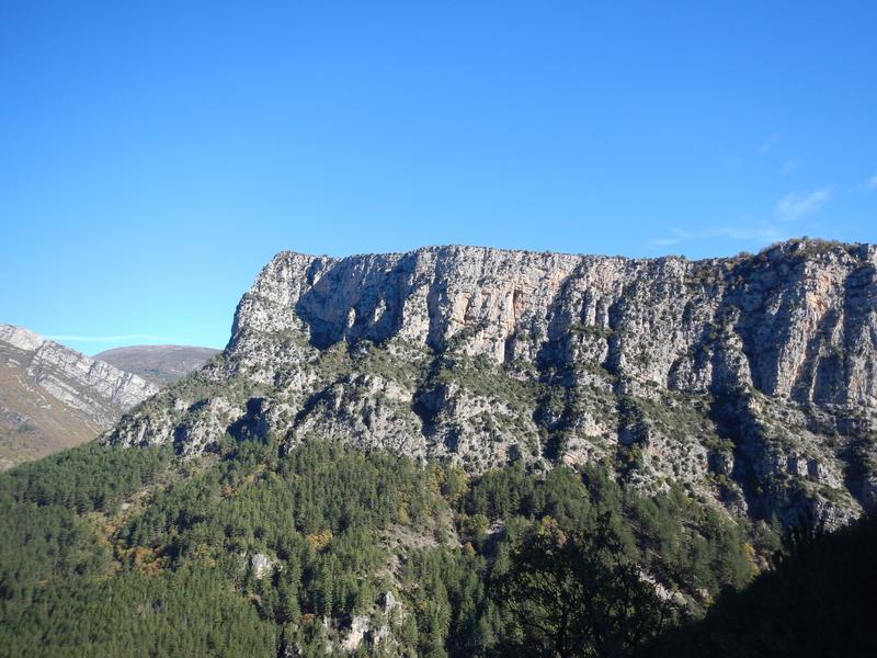
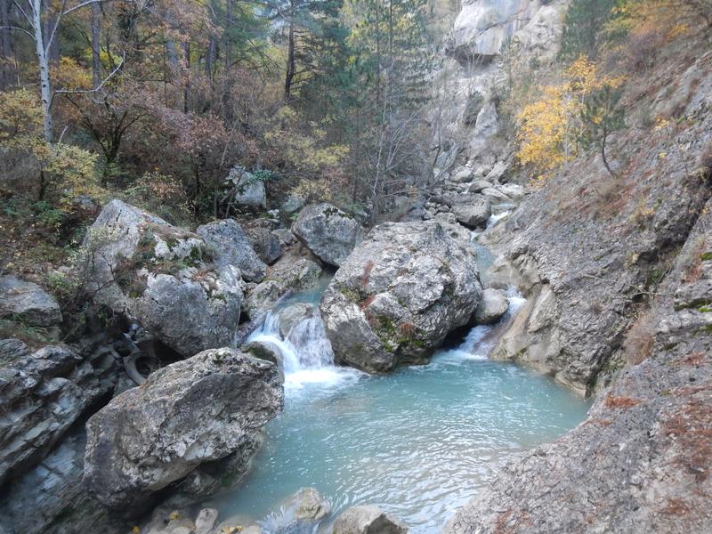
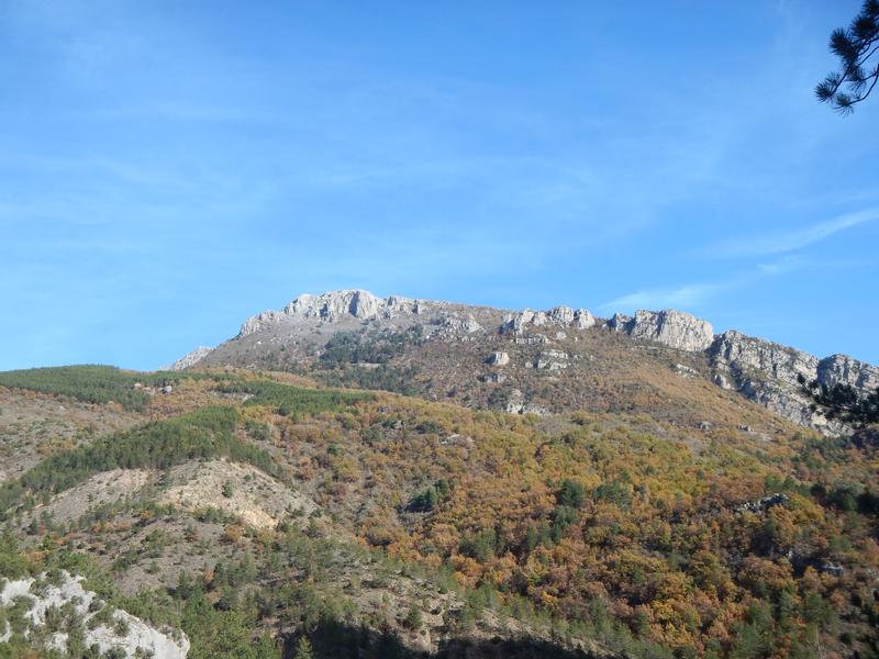
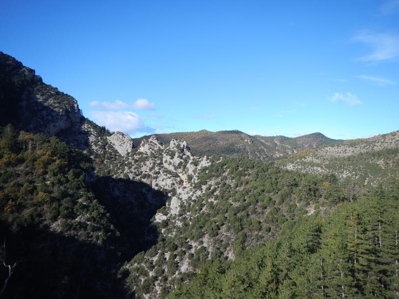
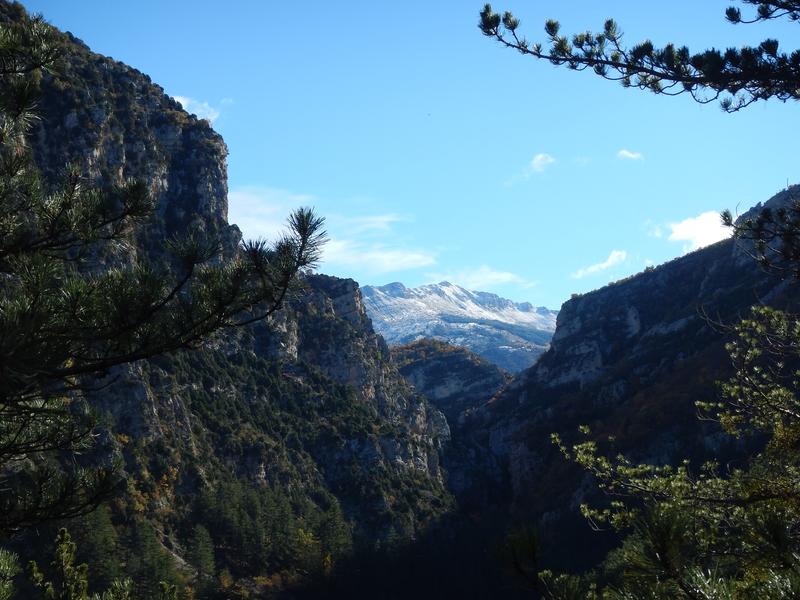
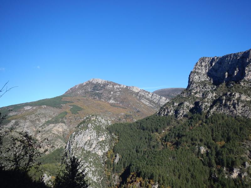
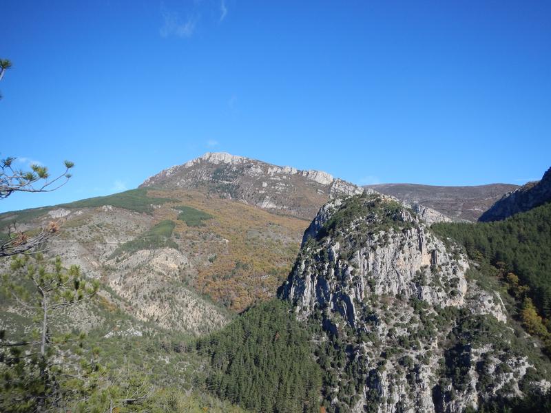
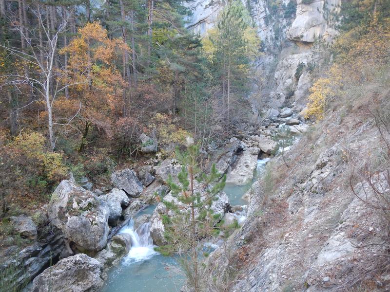
This trail offers spectacular views, discover the gardens and ruins of Valbonnette before a panoramic return to the gorges. The torrent "l'Estoublaïsse" has dug, in the Jurassic limestone, a narrow canyon 200 meters high.
The characteristics of the route.

Estoublon (04)
- Distance 9.3 km
- Elevation gain 470 m
- Elevation lost 470 m
- Min. elevation 599 m
- Max. elevation. 897 m
- Duration (depending on pace) 3h
- Suivre le balisage Yes

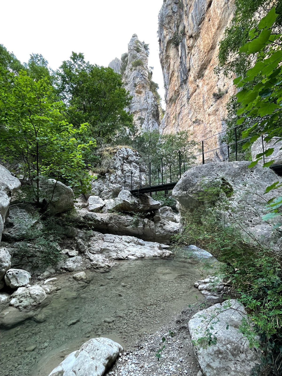
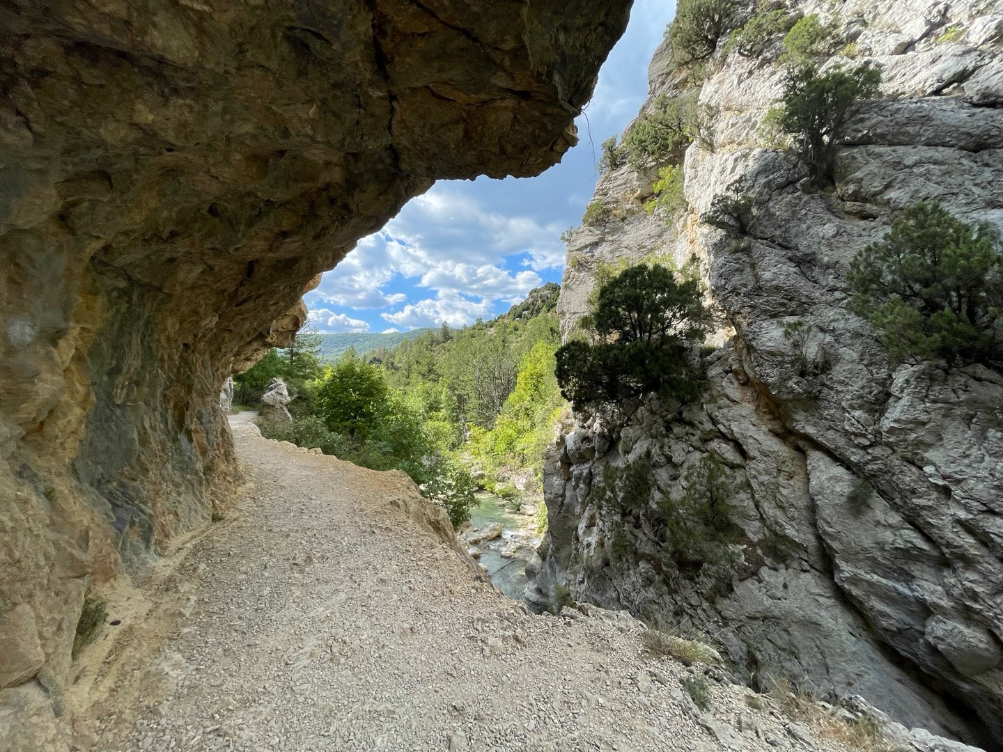
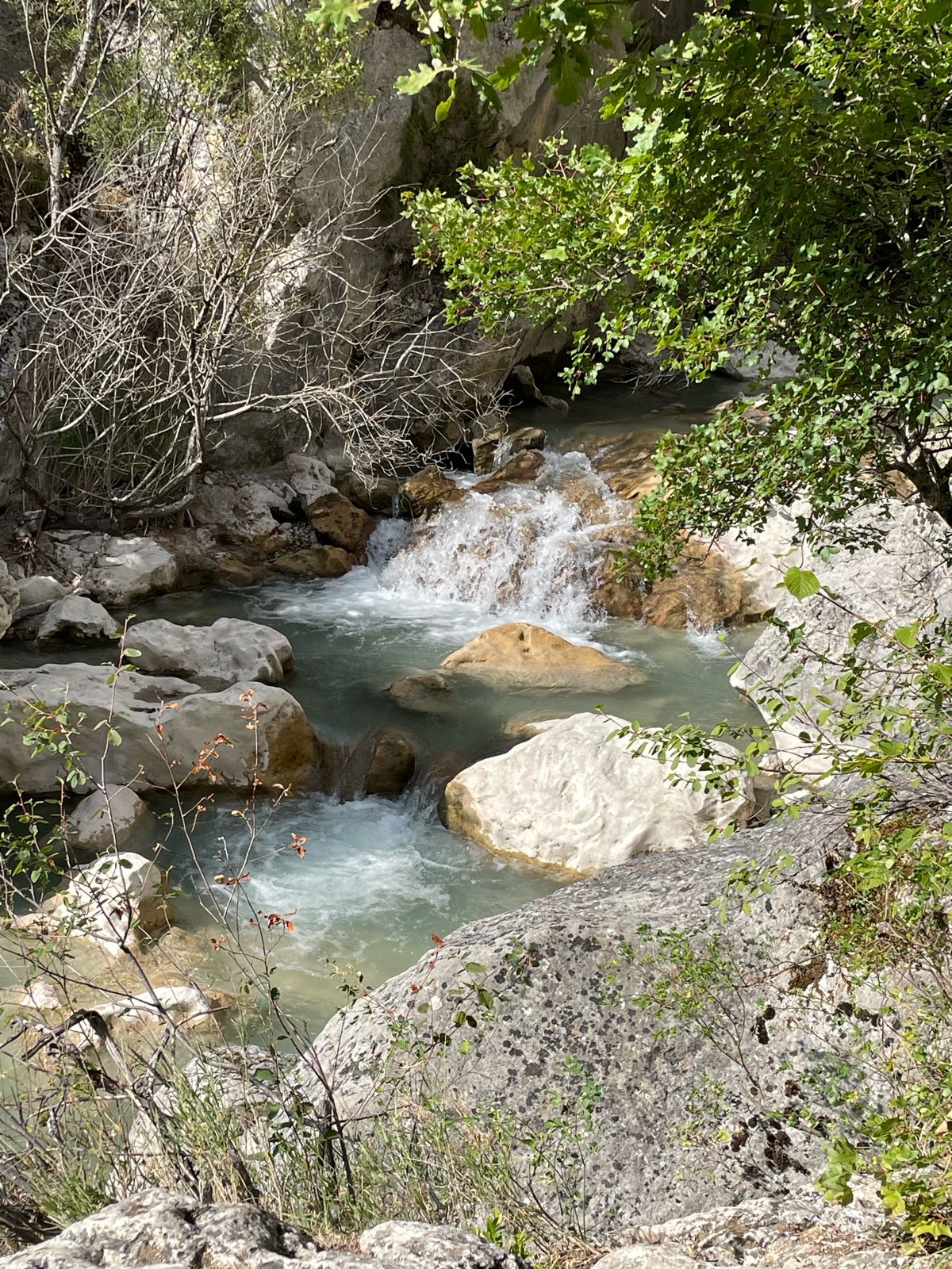
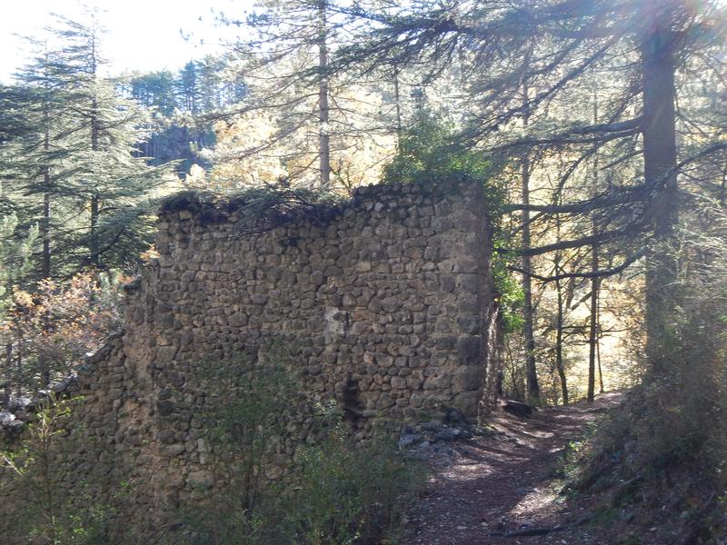
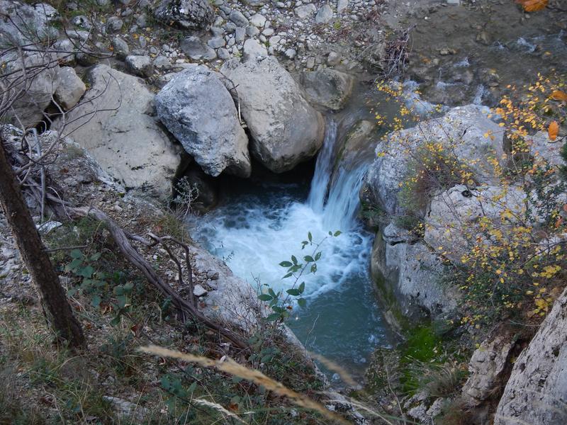
An emblematic walk in the Trévans gorges, the path follows the Estoublaïsse on the right bank then the left bank. It then crosses a tributary twice, "le Clovion", called on the maps "le Pas de l'Escale". This first part leads via beautiful ledges (very narrow steps on the mountain slope) to the intersection of the path of the Saint-André chapel, revealing Mediterranean flora. Continue straight on to reach the Valbonnette gardens and its tranquility. After a shady crossing (larch, alpine flora), the path passes in front of the ruins of the hamlet of Valbonnette then joins that of the Belvédère. Return via a steep descent overlooking the Gorges towards the starting path.
The Trévans gorges form a narrow canyon bordered by steep sides with high cliffs cut into Jurassic limestone. The fauna is varied since there are around forty species of birds and bats. They are also home to chamois. The fish population of Estoublaïsse is made up of brown trout and bullhead, a protected species. The flora is remarkably diverse between plants typical of the Mediterranean climate (terebinth pistachio) and plants from the mountain environment (larch), hence its classification as a Sensitive Natural Area of ??the Department, State Biological Reserve and Natura 2000.
The Trévans gorges form a narrow canyon bordered by steep sides with high cliffs cut into Jurassic limestone. The fauna is varied since there are around forty species of birds and bats. They are also home to chamois. The fish population of Estoublaïsse is made up of brown trout and bullhead, a protected species. The flora is remarkably diverse between plants typical of the Mediterranean climate (terebinth pistachio) and plants from the mountain environment (larch), hence its classification as a Sensitive Natural Area of ??the Department, State Biological Reserve and Natura 2000.
Area : Digne-les-Bains
Report a problem
THIS ROUTE IN YOUR MOBILE PHONE
Download Provence Alpes Outdoor app
Get all the routes on your smartphone with the Provence Alpes outdoor app. You'll find a host of functions :
- Take advantage of detailed IGN maps
- Download data for consultation even when you're not connected to the network
- Geolocate yourself at any time on the route and altimeter profile
- Activate the off-track alarm to be alerted if you stray from the itinerary
- Find nearby services
- Share your experience (add a report, share your lap time)...


Bibie
The 2025/07/31
En savoir plus
Ajouter votre chrono et partager vos sensations


Information updated on 2026-06-05 by Office de Tourisme Provence Alpes Digne les Bains


Provence Alpes Digne-les-Bains tourist office
+ 33(0)4 92 36 62 62
Tourist office
contact mail
Val de Durance – Château-Arnoux tourist office
+33 (0)4 92 64 02 64
Tourist office
contact mail

Moustiers-Sainte-Marie Tourist office
+ 33(0)4 92 74 67 84
Tourist office
contact mail
Seyne - Blanche Serre-Ponçon Tourist office
+33 (0)4 92 35 11 00
Tourist office
contact mail
 Provence Alpes Outdoor - Parcours - Gorges de Trévans - Sentier de Valbonnette
Hello, world! This is a toast message.
Provence Alpes Outdoor - Parcours - Gorges de Trévans - Sentier de Valbonnette
Hello, world! This is a toast message.
Provence Alpes Outdoor - Parcours - Gorges de Trévans - Sentier de Valbonnette
Hello, world! This is a toast message.


OK
Annuler