Marignol
Add to my favorites

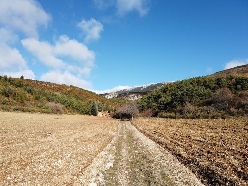
Discover the Montdenier state forest and the Marignol sheepfold. The hike starts in the commune of Moustiers, a 20 minutes drive from the village centre at a place called Naverre (
The characteristics of the route.

Moustiers-Sainte-Marie (04)
- Distance 10.7 km
- Elevation gain 400 m
- Elevation lost 410 m
- Min. elevation 948 m
- Max. elevation. 1317 m
- Duration (depending on pace) 4h30
- Suivre le balisage Yes

Follow the signs for ‘Collet de Naverre’ along the main road, which is rarely used, on the Vénascle plateau. A steep slope (300 m elevation gain) awaits you to reach Marignol, below the Montdenier forest road.
Turn right to reach the Marignol sheepfold. This old sheepfold is owned by the ONF (French National Forestry Office) and serves as a refuge.
Follow the signs for Vincel to descend. You will arrive at the Montdenier campsite. Continue on past the Vincel farm. After the hamlet, take the tarmac road to return to your car.
10.7km · 400m D+ · 4h30
Area : Verdon
Report a problem
THIS ROUTE IN YOUR MOBILE PHONE
Download Provence Alpes Outdoor app
Get all the routes on your smartphone with the Provence Alpes outdoor app. You'll find a host of functions :
- Take advantage of detailed IGN maps
- Download data for consultation even when you're not connected to the network
- Geolocate yourself at any time on the route and altimeter profile
- Activate the off-track alarm to be alerted if you stray from the itinerary
- Find nearby services
- Share your experience (add a report, share your lap time)...

Add your time and share your feelings


Information updated on 2025-09-17 by Office de tourisme de Moustiers-Sainte-Marie


Provence Alpes Digne-les-Bains tourist office
+ 33(0)4 92 36 62 62
Tourist office
contact mail
Val de Durance – Château-Arnoux tourist office
+33 (0)4 92 64 02 64
Tourist office
contact mail
![]()
Moustiers-Sainte-Marie Tourist office
+ 33(0)4 92 74 67 84
Tourist office
contact mail
Seyne - Blanche Serre-Ponçon Tourist office
+33 (0)4 92 35 11 00
Tourist office
contact mail
 Provence Alpes Outdoor - Parcours - Marignol
Hello, world! This is a toast message.
Provence Alpes Outdoor - Parcours - Marignol
Hello, world! This is a toast message.
Provence Alpes Outdoor - Parcours - Marignol
Hello, world! This is a toast message.


OK
Annuler