Circuit du Château
Add to my favorites

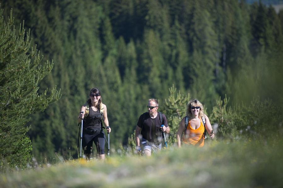
Discover the foothills of the Blanche and its national forest with numerous viewpoints over the Blanche range.
The characteristics of the route.

Seyne (04)
- Distance 11.9 km
- Elevation gain 570 m
- Elevation lost 570 m
- Min. elevation 1341 m
- Max. elevation. 1777 m
- Duration (depending on pace) 5h
- Suivre le balisage Yes


Road access to the Bellevue Forestry House, from Seyne-les-Alpes (6 km) take the D207 towards Montclar then the D607 to Saint-Pons where you follow the Col-Bas forestry track (open from May to October). Parking at the crossroads of the road and tracks near the forest house.
Area : Blanche Serre-Ponçon
Report a problem
THIS ROUTE IN YOUR MOBILE PHONE
Download Provence Alpes Outdoor app
Get all the routes on your smartphone with the Provence Alpes outdoor app. You'll find a host of functions :
- Take advantage of detailed IGN maps
- Download data for consultation even when you're not connected to the network
- Geolocate yourself at any time on the route and altimeter profile
- Activate the off-track alarm to be alerted if you stray from the itinerary
- Find nearby services
- Share your experience (add a report, share your lap time)...

Add your time and share your feelings


Information updated on 2025-06-06 by Office de Tourisme Provence Alpes Digne les Bains


Provence Alpes Digne-les-Bains tourist office
+ 33(0)4 92 36 62 62
Tourist office
contact mail
Val de Durance – Château-Arnoux tourist office
+33 (0)4 92 64 02 64
Tourist office
contact mail
![]()
Moustiers-Sainte-Marie Tourist office
+ 33(0)4 92 74 67 84
Tourist office
contact mail
Seyne - Blanche Serre-Ponçon Tourist office
+33 (0)4 92 35 11 00
Tourist office
contact mail
 Provence Alpes Outdoor - Parcours - Circuit du Château
Hello, world! This is a toast message.
Provence Alpes Outdoor - Parcours - Circuit du Château
Hello, world! This is a toast message.
Provence Alpes Outdoor - Parcours - Circuit du Château
Hello, world! This is a toast message.


OK
Annuler