Trail N°9 - Montée Tête de l'Estrop
Add to my favorites

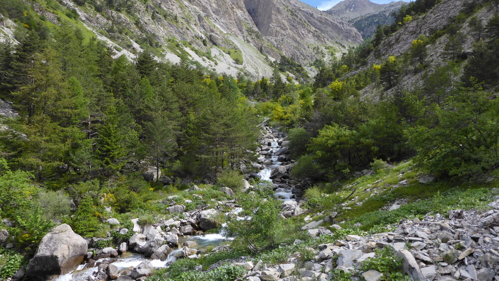
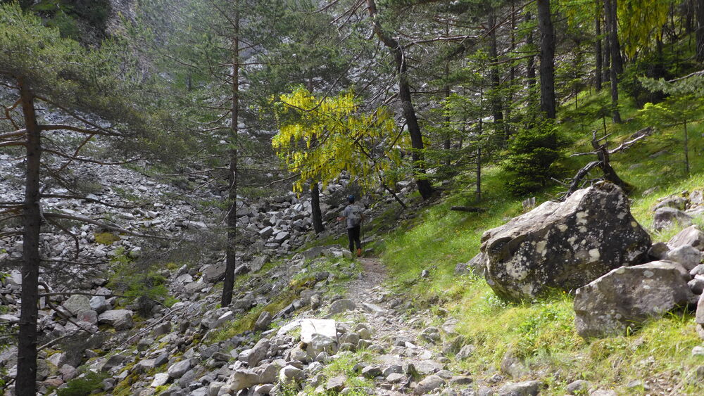
Do you want to tame the highest peak in the Vallée de la Blanche? On your shoes, get set, go! Come and challenge the highest point to discover the 360° panorama at the top of this summit located just below the 3000 meter bar!
The characteristics of the route.

Prads-Haute-Bléone (04)
- Distance 12.79 km
- Elevation gain 1800 m
- Elevation lost 70 m
- Min. elevation 1193 m
- Max. elevation. 2931 m
- Duration (depending on pace) 3h30
- Suivre le balisage Yes

Departure from Prads-Haute-Bléone, arrival at the top of the Estrop head. The highest point in the Pays Dignois, the summit of Estrop reaches an altitude of 2961m, the northern slope is home to one of the southernmost glaciers in the Alps (Glacier de la Blanche).
Area : Digne-les-Bains
Report a problem
THIS ROUTE IN YOUR MOBILE PHONE
Download Provence Alpes Outdoor app
Get all the routes on your smartphone with the Provence Alpes outdoor app. You'll find a host of functions :
- Take advantage of detailed IGN maps
- Download data for consultation even when you're not connected to the network
- Geolocate yourself at any time on the route and altimeter profile
- Activate the off-track alarm to be alerted if you stray from the itinerary
- Find nearby services
- Share your experience (add a report, share your lap time)...

Add your time and share your feelings


Information updated on 2025-08-06 by Office de Tourisme Provence Alpes Digne les Bains


Provence Alpes Digne-les-Bains tourist office
+ 33(0)4 92 36 62 62
Tourist office
contact mail
Val de Durance – Château-Arnoux tourist office
+33 (0)4 92 64 02 64
Tourist office
contact mail
![]()
Moustiers-Sainte-Marie Tourist office
+ 33(0)4 92 74 67 84
Tourist office
contact mail
Seyne - Blanche Serre-Ponçon Tourist office
+33 (0)4 92 35 11 00
Tourist office
contact mail
 Provence Alpes Outdoor - Parcours - Trail N°9 - Montée Tête de l'Estrop
Hello, world! This is a toast message.
Provence Alpes Outdoor - Parcours - Trail N°9 - Montée Tête de l'Estrop
Hello, world! This is a toast message.
Provence Alpes Outdoor - Parcours - Trail N°9 - Montée Tête de l'Estrop
Hello, world! This is a toast message.


OK
Annuler