Trail n°4 - Tour de l'Auragnerie
Add to my favorites

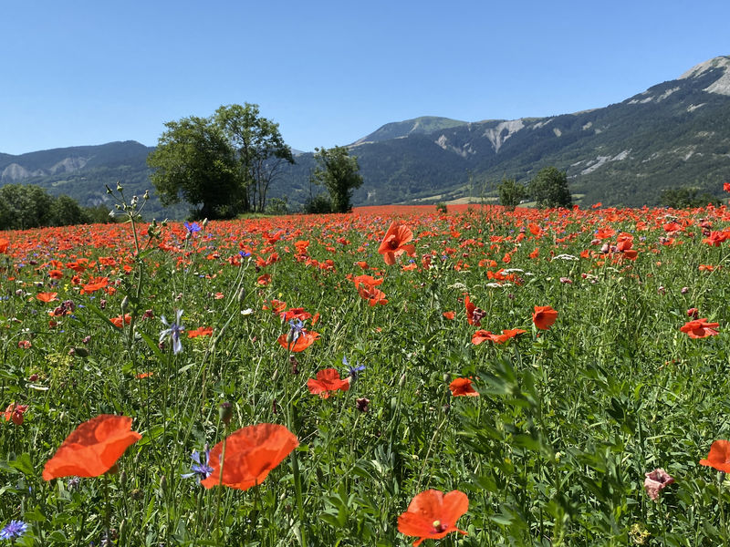
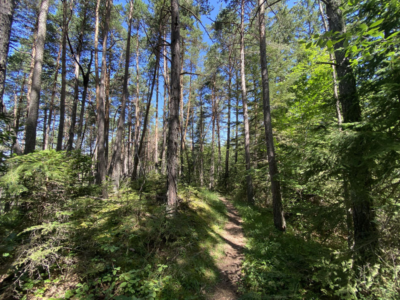
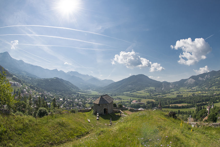
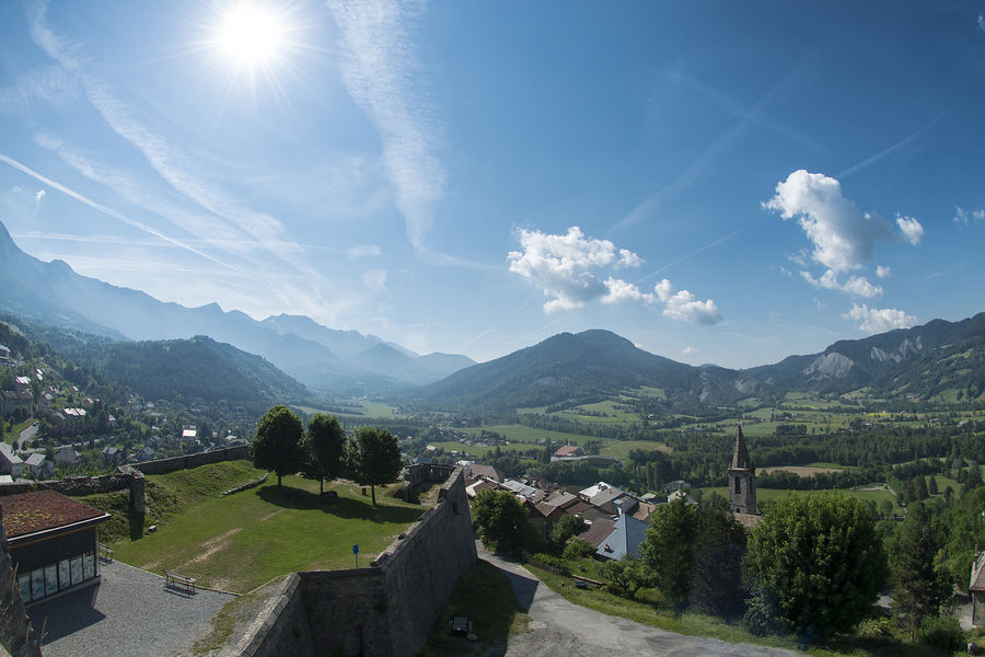
A ridge route above the village of Le Seyne. Magnificent scenery and a short climb await you on this route!
The characteristics of the route.

Seyne (04)
- Distance 6.92 km
- Elevation gain 310 m
- Elevation lost 310 m
- Min. elevation 1195 m
- Max. elevation. 1427 m
- Duration (depending on pace) 1h15
- Suivre le balisage Yes

This short route is ideal for those new to this outdoor sport. Setting off from the village of Seyne, you will head towards the Château de Montclar, where a fairly dry climb awaits you. Don't panic, you can walk uphill - the aim of trail running is to manage your effort! The return journey takes you along a pleasant ridge path from which you can enjoy the magnificent views.
Area : Blanche Serre-Ponçon
Report a problem
THIS ROUTE IN YOUR MOBILE PHONE
Download Provence Alpes Outdoor app
Get all the routes on your smartphone with the Provence Alpes outdoor app. You'll find a host of functions :
- Take advantage of detailed IGN maps
- Download data for consultation even when you're not connected to the network
- Geolocate yourself at any time on the route and altimeter profile
- Activate the off-track alarm to be alerted if you stray from the itinerary
- Find nearby services
- Share your experience (add a report, share your lap time)...

Ethan17
The 2025/07/23
En savoir plus
Ajouter votre chrono et partager vos sensations
2025/07/23 Ethan17
2025/07/23 Ethan17


Information updated on 2025-07-17 by Office de Tourisme Provence Alpes Digne les Bains


Provence Alpes Digne-les-Bains tourist office
+ 33(0)4 92 36 62 62
Tourist office
contact mail
Val de Durance – Château-Arnoux tourist office
+33 (0)4 92 64 02 64
Tourist office
contact mail
![]()
Moustiers-Sainte-Marie Tourist office
+ 33(0)4 92 74 67 84
Tourist office
contact mail
Seyne - Blanche Serre-Ponçon Tourist office
+33 (0)4 92 35 11 00
Tourist office
contact mail
 Provence Alpes Outdoor - Parcours - Trail n°4 - Tour de l'Auragnerie
Hello, world! This is a toast message.
Provence Alpes Outdoor - Parcours - Trail n°4 - Tour de l'Auragnerie
Hello, world! This is a toast message.
Provence Alpes Outdoor - Parcours - Trail n°4 - Tour de l'Auragnerie
Hello, world! This is a toast message.


OK
Annuler